File:Bridge Culvert.png
Jump to navigation
Jump to search


Size of this preview: 646 × 599 pixels. Other resolutions: 259 × 240 pixels | 517 × 480 pixels | 774 × 718 pixels.
Original file (774 × 718 pixels, file size: 1.09 MB, MIME type: image/png)
Summary
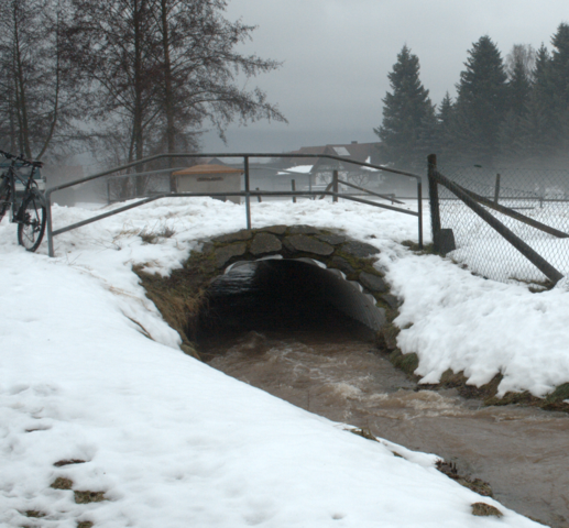
Wartenberg - Example for Bridge or Culvert (maybe bridge=culvert ?) - 50.6062844 (50° 36' 22.62") / 9.4698892 (9° 28' 11.60") looking NO - Way_39749819
Licensing
![]()
![]()
![]()
This work is licensed under the Creative Commons Attribution-ShareAlike 2.0 License.
Missing attribution. You have to add the authors!
THIS LICENSE REQUIRES ATTRIBUTION!
Use {{CC-BY-SA-2.0|Authors}}
Note, there is
There is also
Missing attribution. You have to add the authors!
THIS LICENSE REQUIRES ATTRIBUTION!
Use {{CC-BY-SA-2.0|Authors}}
Note, there is
{{CC-BY-SA-2.0 OpenStreetMap}} for files based on old OSM map data, before the license change made on 2012-09-12.There is also
{{OSM Carto screenshot||old_license}} for files based on old OSM map data, before the license change made on 2012-09-12, created using OSM Carto map style.
File history
Click on a date/time to view the file as it appeared at that time.
| Date/Time | Thumbnail | Dimensions | User | Comment | |
|---|---|---|---|---|---|
| current | 21:13, 10 April 2011 | | 774 × 718 (1.09 MB) | Bmog (talk | contribs) | Wartenberg - Example for Bridge or Culvert (maybe bridge=culvert ?) - 50.6062844 (50° 36' 22.62") / 9.4698892 (9° 28' 11.60") looking NO - Way_39749819 |
You cannot overwrite this file.
File usage
There are no pages that use this file.