File:Ciudad de Victoria 07262014.png
Jump to navigation
Jump to search

Size of this preview: 750 × 600 pixels. Other resolutions: 300 × 240 pixels | 600 × 480 pixels | 960 × 768 pixels | 1,280 × 1,024 pixels.
Original file (1,280 × 1,024 pixels, file size: 281 KB, MIME type: image/png)
Summary
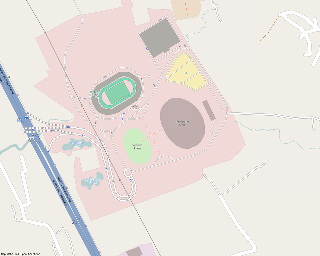
| Description | A visualization of Ciudad de Victoria, a "140-hectare tourism enterprise zone" located in Bocaue and Santa Maria towns, Bulacan, Philippines. Created using Bigmap 2 |
|---|---|
| Author | Ianlopez1115 |
| Source | http://osm.org/go/4zkATDmGV- |
| Date | 26 July 2014 |
| Permission | See below |
| Other versions | none |
Licensing
![]()
![]()
This screenshot contains OpenStreetMap Carto rendering.
The OpenStreetMap Carto map style is made available under the Creative Commons CC-0 1.0 Universal Public Domain Dedication.
- Attribution to the map data:
| Contains map data © OpenStreetMap contributors, made available under the terms of the Open Database License (ODbL).
The ODbL does not require any particular license for maps produced from ODbL data, produced maps may be subject also to other licences. |
File history
Click on a date/time to view the file as it appeared at that time.
| Date/Time | Thumbnail | Dimensions | User | Comment | |
|---|---|---|---|---|---|
| current | 11:41, 26 July 2014 | | 1,280 × 1,024 (281 KB) | Ianlopez1115 (talk | contribs) | {{Information |Description = A visualization of wikipedia:en:Ciudad de Victoria, a "140-hectare tourism enterprise zone" located in Bocaue and Santa Maria towns, Bulacan, Philippines. Created using Bigmap 2 |Source = http://osm.org/go/4z... |
You cannot overwrite this file.
File usage
The following page uses this file: