File:Electricity distribtion France.png
Jump to navigation
Jump to search

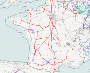
Size of this preview: 738 × 599 pixels. Other resolutions: 296 × 240 pixels | 591 × 480 pixels | 787 × 639 pixels.
Original file (787 × 639 pixels, file size: 741 KB, MIME type: image/png)
Summary
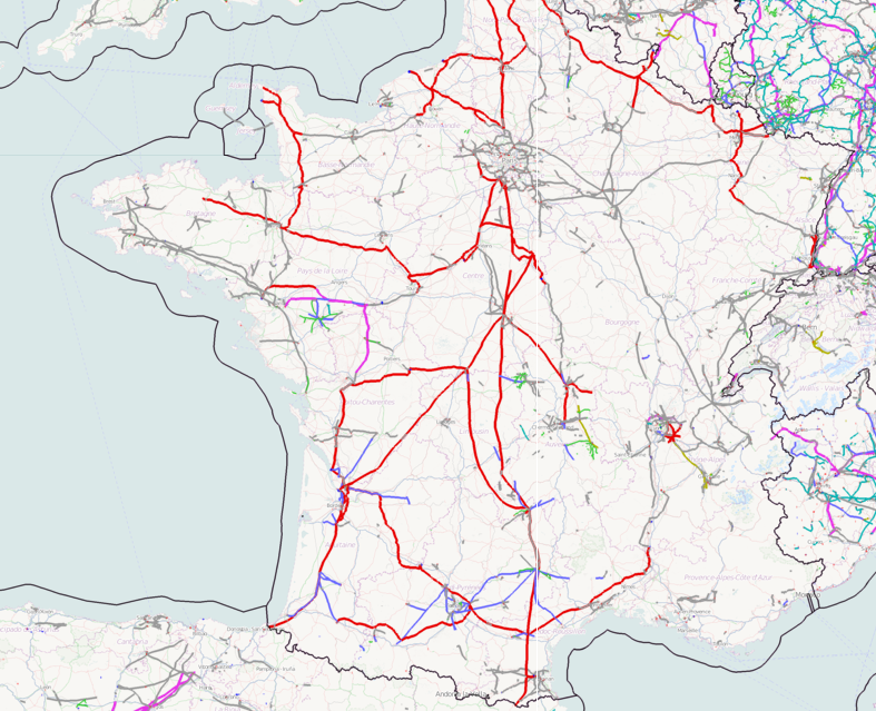
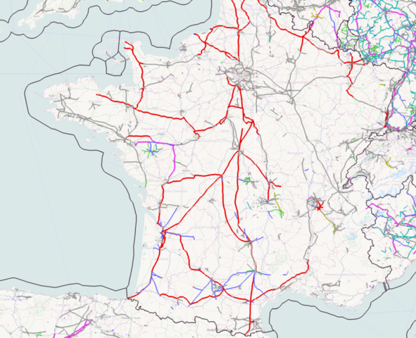
Map showing electrical power distribution system in France using ITO Map
Licensing
![]()
Contains map data © OpenStreetMap contributors, made available under the terms of the Creative Commons Attribution-ShareAlike 2.0 (CC-BY-SA-2.0).
File history
Click on a date/time to view the file as it appeared at that time.
| Date/Time | Thumbnail | Dimensions | User | Comment | |
|---|---|---|---|---|---|
| current | 03:31, 21 May 2011 | | 787 × 639 (741 KB) | PeterIto (talk | contribs) | Map showing electrical power distribution system in France using ITO Map |
You cannot overwrite this file.
File usage
There are no pages that use this file.