File:Gandaki districts.png
Jump to navigation
Jump to search

Size of this preview: 776 × 600 pixels. Other resolutions: 311 × 240 pixels | 621 × 480 pixels | 994 × 768 pixels | 1,056 × 816 pixels.
Original file (1,056 × 816 pixels, file size: 25 KB, MIME type: image/png)
File history
Click on a date/time to view the file as it appeared at that time.
| Date/Time | Thumbnail | Dimensions | User | Comment | |
|---|---|---|---|---|---|
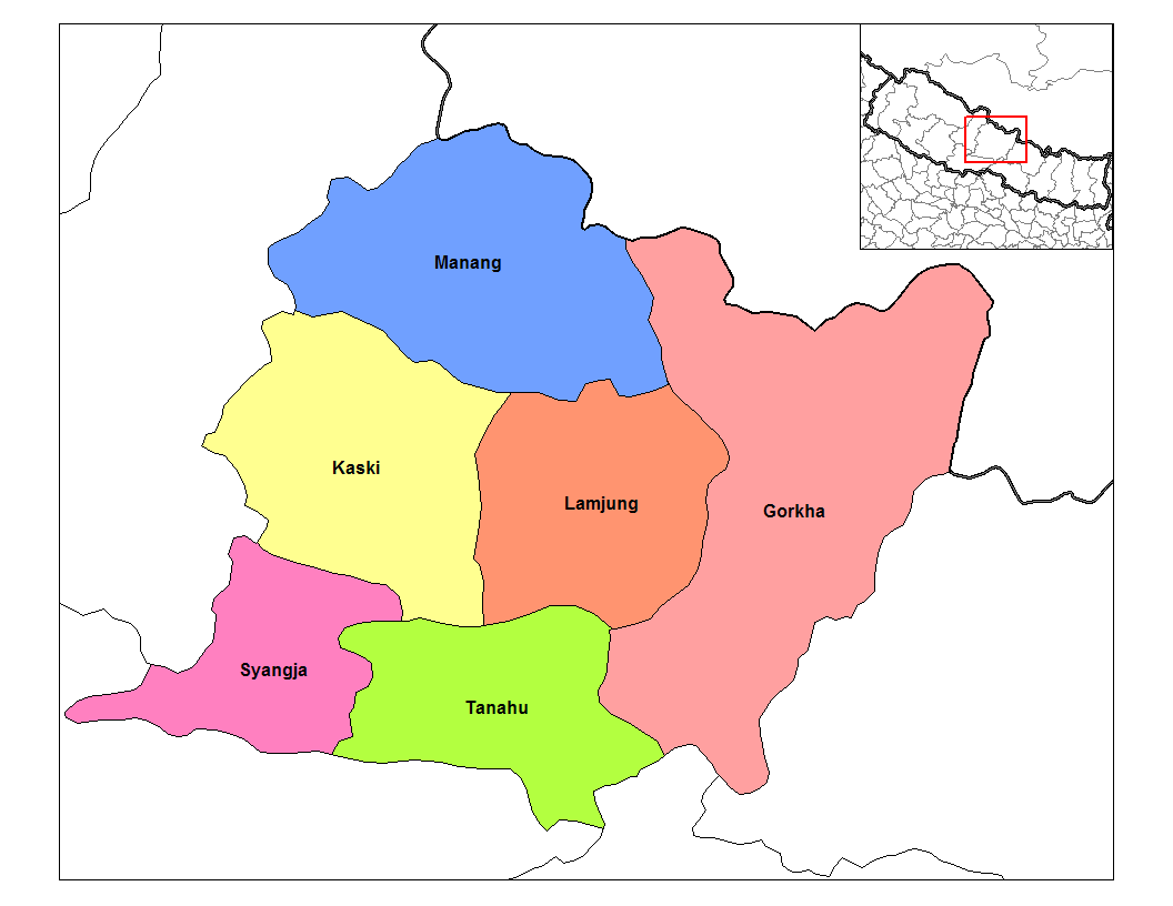
| current | 14:59, 9 April 2007 | | 1,056 × 816 (25 KB) | wikimediacommons>Hégésippe Cormier | {{Information |Description=Map of the districts of '''Gandaki Zone''' (wp-EN) in Nepal. Created by Rarelibra 18:57, 18 September 2006 (UTC) for public domain use, using MapInfo Professional v8.5 |
File usage
The following page uses this file: