File:Golf map.png
Jump to navigation
Jump to search

No higher resolution available.
Golf_map.png (562 × 420 pixels, file size: 156 KB, MIME type: image/png)
Summary
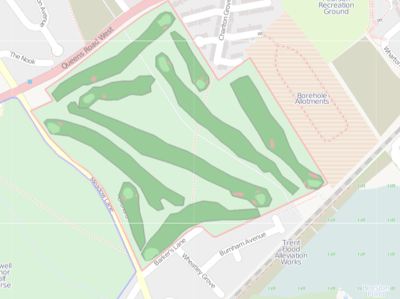
Prototype golf view of a golf course using ITO Map.
Licensing
![]()
Contains map data © OpenStreetMap contributors, made available under the terms of the Creative Commons Attribution-ShareAlike 2.0 (CC-BY-SA-2.0).
File history
Click on a date/time to view the file as it appeared at that time.
| Date/Time | Thumbnail | Dimensions | User | Comment | |
|---|---|---|---|---|---|
| current | 08:31, 27 May 2011 | | 562 × 420 (156 KB) | PeterIto (talk | contribs) | Prototype golf view of [http://alpha.itoworld.com/product/data/ito_map/main?view=47&lat=52.917022372253584&lon=-1.2196352259725196&zoom=16 a golf course] using ITO Map. |
You cannot overwrite this file.
File usage
The following page uses this file: