File:Hydrantenkarte Beispiel Holenbrunn Get Map Org.png
Jump to navigation
Jump to search

Size of this preview: 426 × 600 pixels. Other resolutions: 170 × 240 pixels | 341 × 480 pixels | 642 × 904 pixels.
Original file (642 × 904 pixels, file size: 372 KB, MIME type: image/png)
Summary
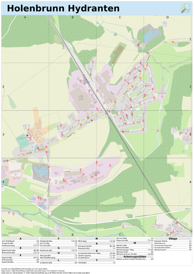
| Description | Hydrantenkarte mit Get_Map_org |
|---|---|
| Author | FFWHol_Satoshi |
| Source | own work |
| Date | 2024-05-23 |
Licensing
| Contains map data © OpenStreetMap contributors, made available under the terms of the Open Database License (ODbL).
The ODbL does not require any particular license for maps produced from ODbL data, produced maps may be subject also to other licences. |
File history
Click on a date/time to view the file as it appeared at that time.
| Date/Time | Thumbnail | Dimensions | User | Comment | |
|---|---|---|---|---|---|
| current | 17:06, 23 May 2024 | | 642 × 904 (372 KB) | FFWHol Satoshi (talk | contribs) | {{Information | description=Hydrantenkarte mit Get_Map_org | source=own work | date=2024-05-23 | author=FFWHol_Satoshi | other_versions= }} |
You cannot overwrite this file.
File usage
There are no pages that use this file.