File:ITO Map - Greenery access rights.PNG
Jump to navigation
Jump to search

Size of this preview: 798 × 133 pixels. Other resolution: 1,110 × 185 pixels.
Original file (1,110 × 185 pixels, file size: 362 KB, MIME type: image/png)
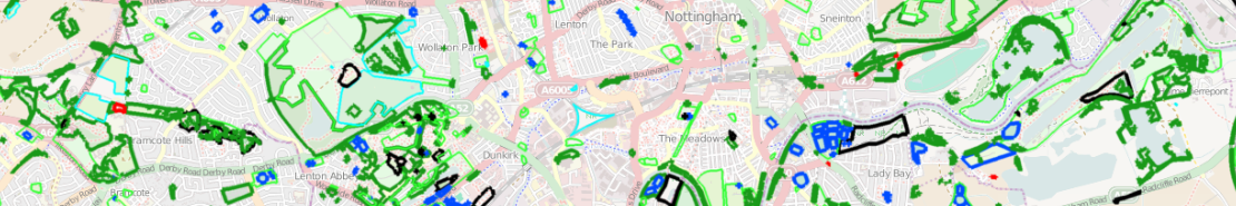
An image of ITO Map's Greenery access layer.
This layer highlights open, planty spaces in OSM as well as whether or not they are publically accessable.
![]()
Contains map data © OpenStreetMap contributors, made available under the terms of the Creative Commons Attribution-ShareAlike 2.0 (CC-BY-SA-2.0).
File history
Click on a date/time to view the file as it appeared at that time.
| Date/Time | Thumbnail | Dimensions | User | Comment | |
|---|---|---|---|---|---|
| current | 16:41, 5 May 2011 | 1,110 × 185 (362 KB) | EricITO (talk | contribs) | An image of ITO Map's Greenery access layer. This layer highlights open, planty spaces in OSM as well as whether or not they are publically accessable. |
You cannot overwrite this file.
File usage
The following 4 pages use this file: