File:Litovel map.jpg
Jump to navigation
Jump to search


Size of this preview: 462 × 599 pixels. Other resolutions: 185 × 240 pixels | 370 × 480 pixels | 592 × 768 pixels | 789 × 1,024 pixels | 1,480 × 1,920 pixels.
Original file (1,480 × 1,920 pixels, file size: 348 KB, MIME type: image/jpeg)
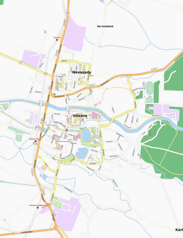
map of Litovel, Czech Republic
| Contains map data © OpenStreetMap contributors, made available under the terms of the Open Database License (ODbL).
The ODbL does not require any particular license for maps produced from ODbL data, produced maps may be subject also to other licences. |
File history
Click on a date/time to view the file as it appeared at that time.
| Date/Time | Thumbnail | Dimensions | User | Comment | |
|---|---|---|---|---|---|
| current | 15:55, 26 December 2007 | | 1,480 × 1,920 (348 KB) | Walley (talk | contribs) | map of Litovel, Czech Republic |
| 13:54, 30 April 2007 | 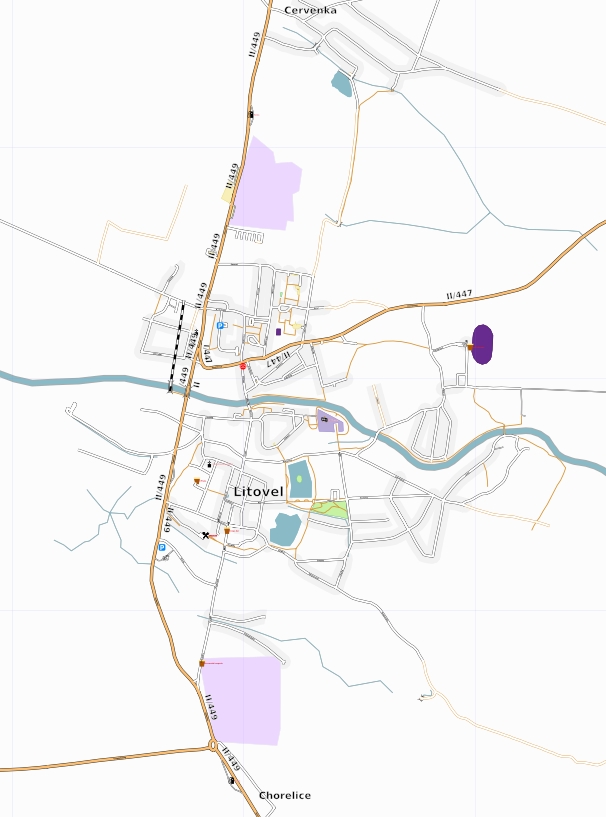 | 606 × 817 (156 KB) | Walley (talk | contribs) | new version, more streets, more accurate street types | |
| 19:18, 7 February 2007 | 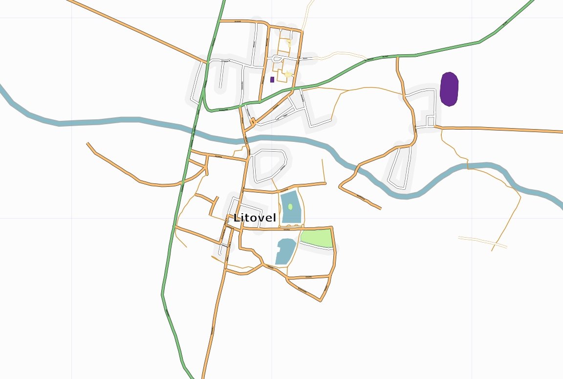 | 1,152 × 775 (78 KB) | Walley (talk | contribs) | map ov Litovel, Czech Republic |
You cannot overwrite this file.
File usage
The following 2 pages use this file: