File:Maghbazar, Dhaka, Bangladesh dense mapping.png
Jump to navigation
Jump to search

No higher resolution available.
Maghbazar,_Dhaka,_Bangladesh_dense_mapping.png (742 × 533 pixels, file size: 272 KB, MIME type: image/png)
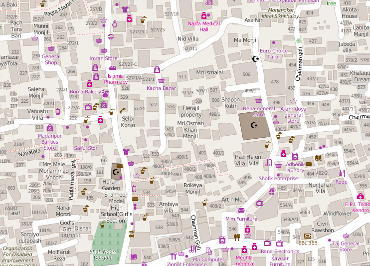
The Bangladesh OpenStreetMap community (facebook group) together with the Red Cross have been mapping the dense district Moghbazar in Dhaka
"standard" OSM style view of here on the map:http://www.openstreetmap.org/#map=18/23.75545/90.40802
Licensing
![]()
![]()
This screenshot contains OpenStreetMap Carto rendering.
The OpenStreetMap Carto map style is made available under the Creative Commons CC-0 1.0 Universal Public Domain Dedication.
- Attribution to the map data:
| Contains map data © OpenStreetMap contributors, made available under the terms of the Open Database License (ODbL).
The ODbL does not require any particular license for maps produced from ODbL data, produced maps may be subject also to other licences. |
File history
Click on a date/time to view the file as it appeared at that time.
| Date/Time | Thumbnail | Dimensions | User | Comment | |
|---|---|---|---|---|---|
| current | 23:41, 4 September 2016 | | 742 × 533 (272 KB) | Atikur Rahman atik (talk | contribs) | The Bangladesh OpenStreetMap community ([https://www.facebook.com/groups/152627941462625/ facebook group]) together with the Red Cross have been mapping the dense district Maghbazar in Dhaka "standard" OSM style view of here on the map:http:/... |
You cannot overwrite this file.
File usage
The following 2 pages use this file: