File:Piste-Maroc.jpeg
Jump to navigation
Jump to search

Size of this preview: 800 × 600 pixels. Other resolutions: 320 × 240 pixels | 640 × 480 pixels | 1,024 × 768 pixels | 1,280 × 960 pixels.
Original file (1,280 × 960 pixels, file size: 264 KB, MIME type: image/jpeg)
Summary
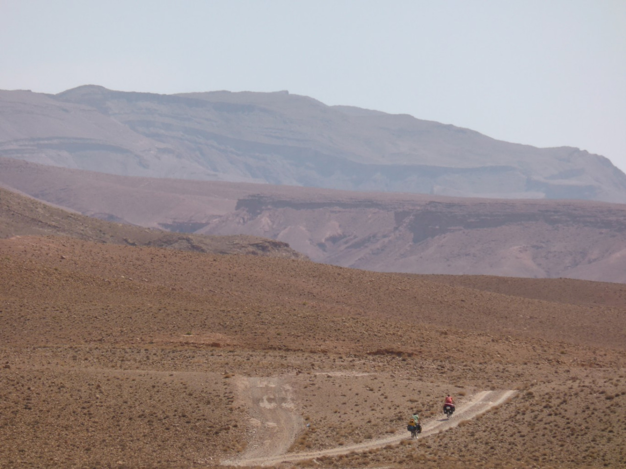
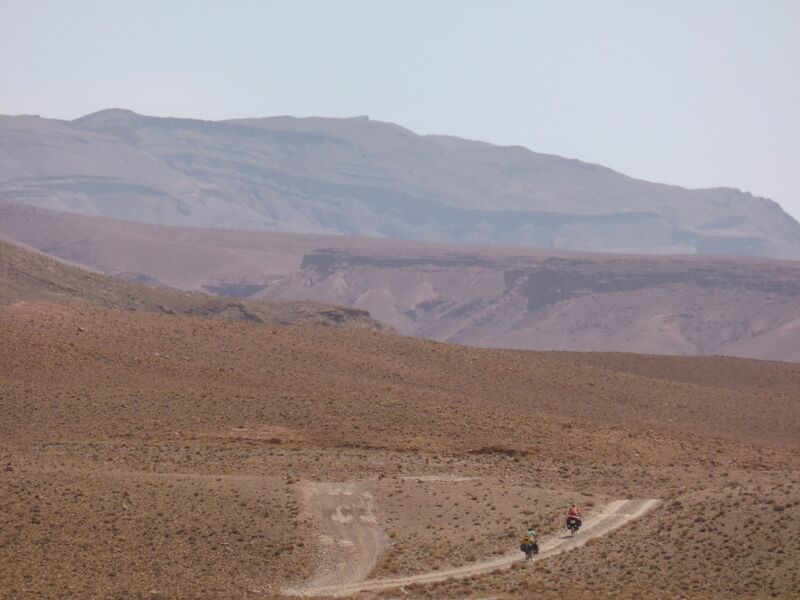
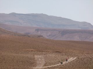
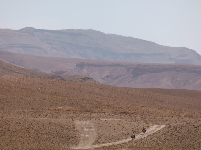
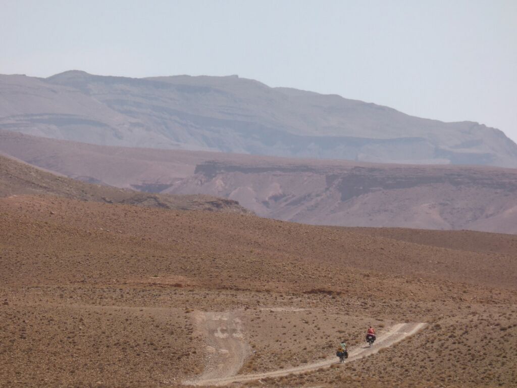
A typical unclassified road in Morocco, connecting dwellings, not serving any agricultural purpose. Local French name would be "piste", which leads to the "highway=track" identification. This one goes from Boutaghrar to Aït-Youl.
Licensing
![]()
![]()
![]()
This work is licensed under the Creative Commons Attribution-ShareAlike 4.0 License.
Missing attribution. You have to add the authors!
THIS LICENSE REQUIRES ATTRIBUTION!
Use {{CC-BY-SA-4.0|Authors}}
Missing attribution. You have to add the authors!
THIS LICENSE REQUIRES ATTRIBUTION!
Use {{CC-BY-SA-4.0|Authors}}
File history
Click on a date/time to view the file as it appeared at that time.
| Date/Time | Thumbnail | Dimensions | User | Comment | |
|---|---|---|---|---|---|
| current | 23:26, 17 December 2020 | | 1,280 × 960 (264 KB) | Mariotomo (talk | contribs) | A typical unclassified road in Morocco, connecting dwellings, not serving any agricultural purpose. Local French name would be "piste", which leads to the "highway=track" identification. This one goes from Boutaghrar to Aït-Youl. |
You cannot overwrite this file.
File usage
There are no pages that use this file.