File:RouteYou screenshot routing Hères Théré.png
Jump to navigation
Jump to search

Size of this preview: 800 × 511 pixels. Other resolutions: 320 × 204 pixels | 640 × 409 pixels | 1,024 × 654 pixels | 1,277 × 816 pixels.
Original file (1,277 × 816 pixels, file size: 342 KB, MIME type: image/png)
Summary
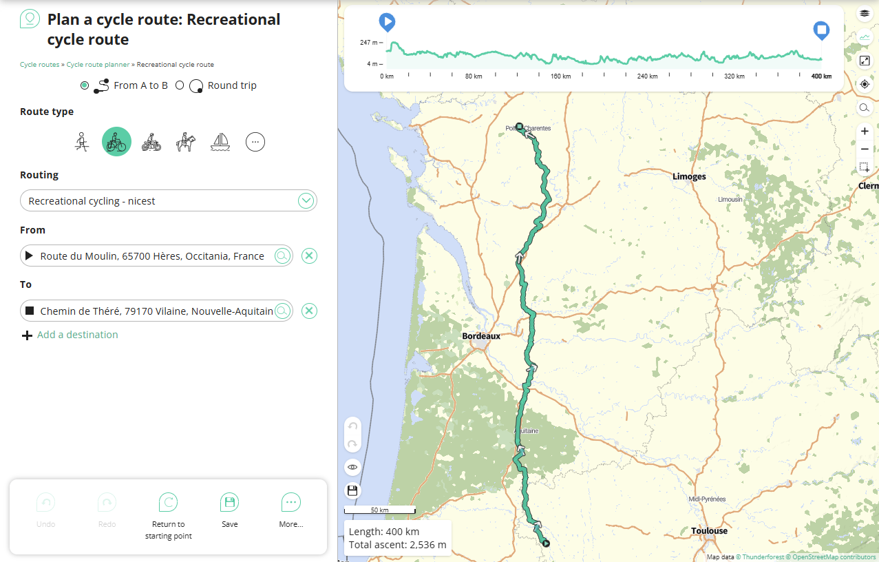
| Description | RouteYou screenshot recreational cycling routing from Hères to Théré |
|---|---|
| Author | |
| Source | RouteYou |
Licensing
![]()
![]()
![]()
This work is licensed under the Creative Commons Attribution-ShareAlike 4.0 License.
Attribution: RouteYou, Thunderforest
Attribution: RouteYou, Thunderforest
| Contains map data © OpenStreetMap contributors, made available under the terms of the Open Database License (ODbL).
The ODbL does not require any particular license for maps produced from ODbL data, produced maps may be subject also to other licences. |
File history
Click on a date/time to view the file as it appeared at that time.
| Date/Time | Thumbnail | Dimensions | User | Comment | |
|---|---|---|---|---|---|
| current | 15:35, 10 March 2025 | | 1,277 × 816 (342 KB) | LennertS (talk | contribs) | {{Information | description= RouteYou screenshot recreational cycling routing from Hères to Théré | source= RouteYou | date= | author= | other_versions= }} {{CC-BY-SA-4.0|RouteYou, Thunderforest vector tiles, Openstreetmap contributors}} |
You cannot overwrite this file.
File usage
The following 2 pages use this file: