File:Vaxjo.jpg
Jump to navigation
Jump to search

Size of this preview: 600 × 600 pixels. Other resolutions: 240 × 240 pixels | 480 × 480 pixels | 768 × 768 pixels | 1,024 × 1,024 pixels | 2,000 × 2,000 pixels.
Original file (2,000 × 2,000 pixels, file size: 400 KB, MIME type: image/jpeg)
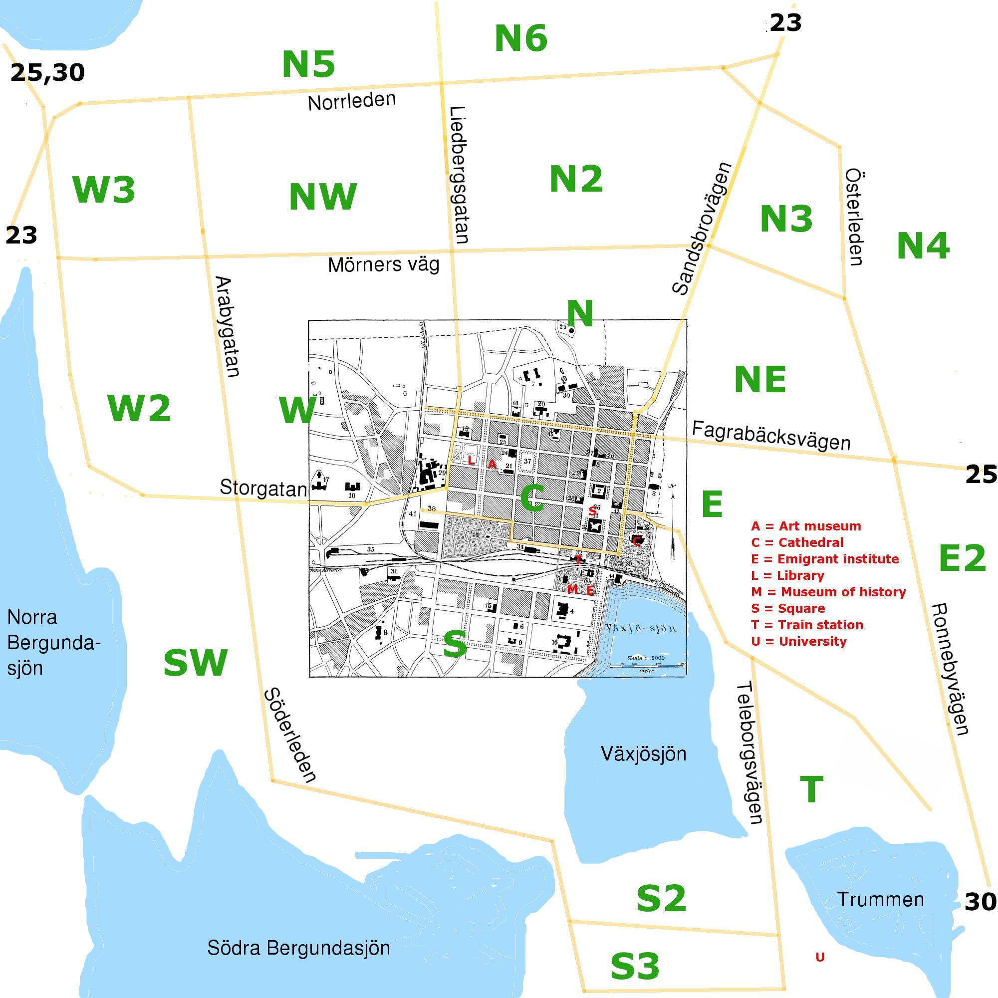
Rough planning map of Växjö, based in part on the city map from the out-of-copyright encyclopedia Nordisk familjebok (1922). Major streets are marked in yellow, dividing the city in sectors marked in green. Some interesting places are marked with red letters as explained in the image.
File history
Click on a date/time to view the file as it appeared at that time.
| Date/Time | Thumbnail | Dimensions | User | Comment | |
|---|---|---|---|---|---|
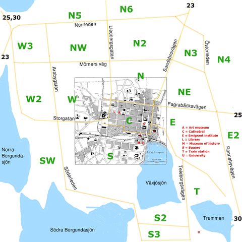
| current | 07:43, 22 September 2006 | | 2,000 × 2,000 (400 KB) | Boivie (talk | contribs) | lite mer text och vatten på kartan |
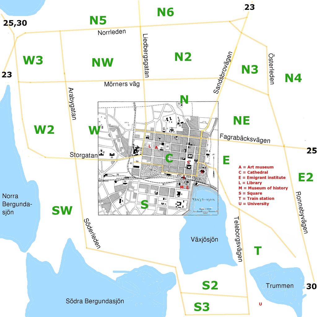
| 23:29, 24 August 2006 |  | 2,000 × 2,000 (386 KB) | LA2 (talk | contribs) | Rough planning map of Växjö, based in part on the city map from the out-of-copyright encyclopedia ''Nordisk familjebok'' (1922). Major streets are marked in yellow, dividing the city in sectors marked in green. Some interesting places are marked with re |
You cannot overwrite this file.
File usage
The following 2 pages use this file: