Proposal:Mapping disputed boundaries/renderings
< Proposal:Mapping disputed boundaries(Redirected from Proposed features/Mapping disputed boundaries/renderings)
Jump to navigation
Jump to search
Some possible renderings
Please note that these are only for illustration. The proposal takes no position on rendering; it is a tagging proposal.
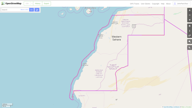
These sample renderings use dashed lines to separate Zones of Control and assume creation of a Conflict Area for Western Sahara.
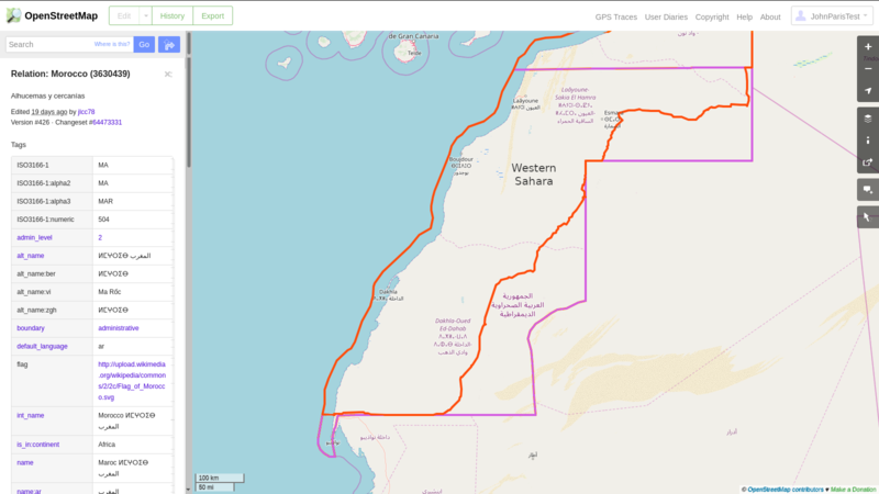
Here is Morocco. The boundary is the same as the existing de facto boundary.
Here is Sahrawi Arab Democratic Republic. The boundary is the same as the existing de facto boundary.
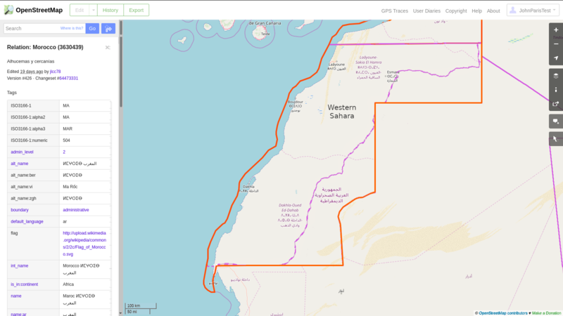
Morocco's Master Claim includes all of Western Sahara. This is how Morocco would portray itself.
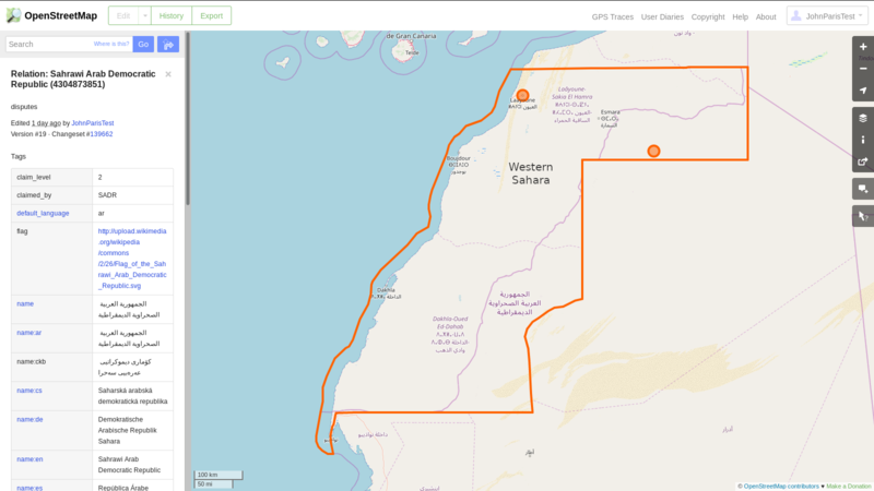
SADR's Master Claim also includes all of Western Sahara. This is how SADR would portray itself. (SADR has a de facto capital and claims Laayoune as its permanent capital.)


