Southampton Mapping Party 2007
When
28-29 April 2007
What's the aim of the weekend
Southampton, the home city of a certain well-known mapping organisation, is one of the better mapped cities of the UK in OSM, but there's still plenty that could be done and if a good number attend, there is the possibility of generating some real complete mapping of the city and its surroundings. Indeed, it's quite feasible that the city could be completely mapped (as much of it has been done already) which would be the first city of 100,000+ to have complete OSM mapping.
A secondary aim of the weekend is to try and focus on things which are not highlighted much on Ordnance Survey maps and such like. For example, what if you want to know where all the footways are that provide short cuts between housing estates? Or say you want to make a quick escape into the country along some permissive paths on the edge of town? In addition to completing the roads, the weekend will aim to produce a map showing these features, as well as mapping assorted points of interest - such as takeaways and live music venues - not often shown on standard town maps.
General plan
All the through (highway=unclassified or greater) roads are already done, to the best of my knowledge. Thus the mapping will focus on three areas, filling in residential streets; footways in and just out of town; and points of interest.
More details such as a "cake" later.
Venue
Nick Whitelegg can now confirm that we have a room booked for the Southampton mapping party at Southampton Solent University on both April 28th (Sat) and 29th (Sun).
The venue is RM322, Reginald Mitchell Building, Southampton Solent University, East Park Terrace, Southampton. The room is available from 9am to 4pm each day and has a PC. I'll try and pre-install JOSM on it; the only problem is it
- may* not have a serial port so it would be good if someone could bring a
laptop as backup.
http://www.openstreetmap.org/index.html?lat=50.907&lon=-1.4&zoom=16
The University is just north of the secondary road running east-west at the bottom of East Park Terrace.
Contact
If you need to contact me (Nick W) for any reason, my number is 07950347717.
Order of events
The order of events will be approximately as follows:
9am - 10am Meet in RM322, Reginald Mitchell Building, Southampton Solent University, to introduce the weekend and plan where to map. On Sunday, upload traces from Saturday afternoon.
10am - 1pm Mapping
1pm - 2pm Upload morning traces.
2pm - 6pm (or 7pm?) More mapping
Evening - find a drinking/eating venue (to be confirmed) sponsored by http://www.rightmove.co.uk/.
Accommodation
I can probably put up about 2 people. Otherwise plenty of B+Bs and the like in the area.
Who's coming?
Andy S (signed up for South Hampshire)
Nick B - For at least one of the days
Gregory - Saturday. (may have to leave bout 6pm-ish).
Jodi - Possibly.
Dean Earley - Most of both days, but has other arrangements
Results
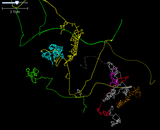
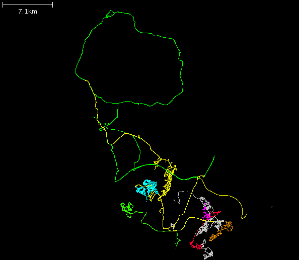
Most GPX traces shown - one or two missing.

