User:Ben
(Redirected from User:Ben.)
Jump to navigation
Jump to search
| I don't give a flying monkey's for tag voting, automatic changebots, endless discussions, categories, or any of that crap, but prefer to get on and actually do stuff. |
Me
I have a Garmin 76csx, and some concerning addiction to OSM. This combination seems to work out OK though. I use my bike for getting the majority of data, and then sometimes foot, and occasionally car.
Hobbies Currently consists of kayaking, Trails Riding, Exploration of anywhere, Roller Hockey, Skateboarding, Snowboarding, Climbing, Openttd, Openstreetmap, Punking, Pitting, Computer Modelling things, building stuff, taking candy from children...um that's about it...
Images
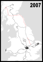
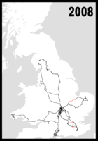
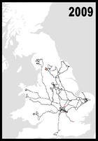
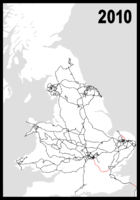
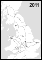
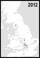
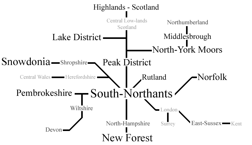
Here are maps of places I've mapped each year. The red areas are the bits I had to turn my gps off in, usually because I could only hold a small amount of data.
Places I've mapped
.
Places of interest that I've mapped
Mountains/Hills
- Scottish Highlands
- An Stuc, Aonach Beag, Aonach Mor, Ben Lawes, Ben Macdui, (Northern Route up/down), Ben Nevis, (Northern Route), Beinn Ghlas, Braeriach, Cairn Gorm, Cairn Toul, Carn Mor Dearg, Meall Garbh and Sgor an Lochain Uaine.
- Lake District
- Allen Crags, Blencathra/Saddleback, Bowfell, Brandreth, Broad Crag, Crinkle Crags, Dale Head (multple routes), Dollywagon Pike, Esk Pike, Fairfield, Glaramara, Grasmoor, Great Borne, Great Dodd, Great End, Great Friar, Great Gable (multple routes), Green gable, Grey Knott (multple routes), Grisedale Pike, Haycock, Hay Stacks, Helvellyn (multple routes), High Raise, High Seat, High Stile, High Street, High Spy, Hopegill Head, Ill Crag, Kirk Fell, Langdale Pikes, Nethernmost Pike, Pike of Plisco, Pillar, Raise, Red Pike, Scafell, Scafell Pike, Skiddaw, Starling Dodd, Stony Cove, Stybarrow Dodd, Swirl How, St Sunday Crag, The old man of Coniston, Ullscarf, Watson's Dodd and Whiteside. (multple routes).
- Snowdonia
- Carnedd Dafydd, Carnedd Llewelyn, Carnedd y Cribau, Cnicht (multple routes), Craig Cwm Silyn, Craig Wen (multple routes), Creigiau Gleision, Crib-Goch, Crimpia, Elidir Fawr, Foel-fras, Foel Goch (Snowdon Massif), Foel Goch (Glyder Massif), Foel Grach, Foel Gron, Garnedd Goch, Garnedd Uchaf, Garnedd Ugain (multple routes), Glyder Fach (multple routes), Glyder Fawr (multple routes), Moel Cynghorion, Moel Eilio, Meol Siabod (multple routes), Moelwyn Bach, Moelwyn Mawr, Mynydd Perfedd, Mynydd Tal-y-mignedd, Pen Llithrig y Wrach, Pen yr Helgi Du, Pen yr Ole Wen (multple routes), Rhinog Fach, Rhinog Fawr, Snowdon (multple routes), Tryfan (multple routes), Y Foel Coch, Y Garn (Nantlle), Y Garn (Snowdon Massif), Y Llethr, Y Lliwedd (multple routes), Yr Arddu, Yr Aran.
- Brecon Beacons - The Black Mountains, Pen-y-fan set and Black Mountain.
- Peak District - Dark peak, and White peak. (At least 1 route up most hills added)
- Yorkshire Dales - Ingleborough, Whernside, Great Whernside, Pen-y-ghent and Buckden Pike. (All routes on Ingleborough)
Other
- Silverstone Race Circuit: Have mapped the Majority of the circuit and its additional roads/airstrips/rally tracks/roads.
- 'Center Parc' Sites: - Whinfell and Nottingham
Contact
Discussion Pages
Notes
MegaStar
 Ben is awarded a MegaStar for uploading one million track points.

