3D-mapland
Jump to navigation
Jump to search
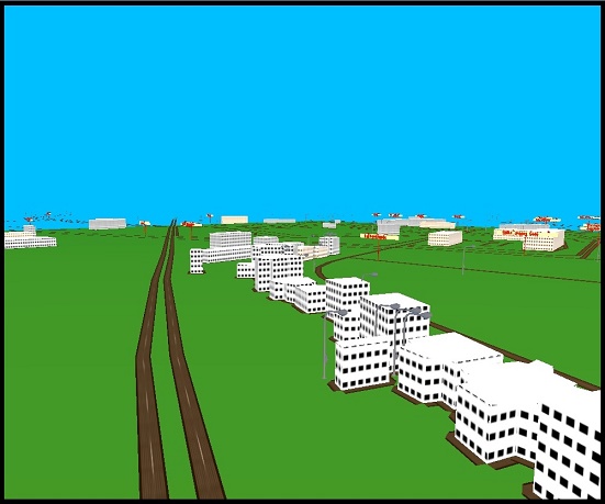
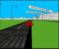
Drive around in a 3D scene created by giving coordinates of any location. Made using openGL and C++.
Information
Map data of openStreetMap has been used, and it can render 3D view of entire world. User user can provide the coordinates of any point on earth and a certain radius around that coordinate is rendered. Road and building data is used, height of buildings is random. Restaurants, hospitals, schools, parking lots, traffic lights, roundabouts are also shown.
This project is an experimental project. The code is open source and is available at:
- Source code: https://github.com/Anubha-Banerjee/3d-mapLand
Gallery
Installation
Installation steps:
- Download the project from github (https://github.com/Anubha-Banerjee/3d-mapLand)
- Double click 3d-mapLand.exe in release folder to run the application.
- Choose any option among sample places, or provide the coordinates of the place to render.
- Click on window to focus.
Controls
- Left arrow Turns left
- Right arrow Turns right
- Up arrow Moves forward
- Down arrow reverses the car
- 1 Normal speed
- 2 High speed
- 3/4/5/6: Switch views
- c Toggle collision detection
- n Toggle street names
- f Full Screen
- Update: An preview of version of the project made in unreal:


