Alaska/Matanuska-Susitna Borough/MSB Aerial Imagery
< Alaska
Jump to navigation
Jump to search
Imagery
Mat-Su Borough Aerial Imagery (MSB Aerial Imagery) is published by the Borough GIS Division. Over the past several years, the Borough has worked to established a recurring imagery program that regularly refreshes the captures of the ground.
License
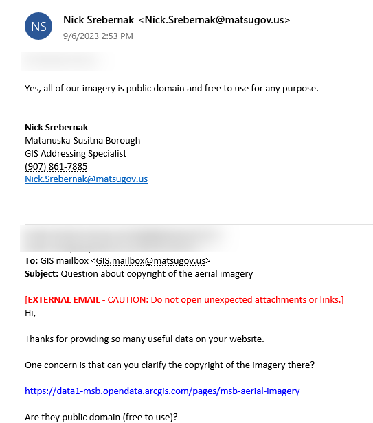
Imagery Program Manager Nick Srebernak has clarified the imagery as public domain: 
Usage
MSB Aerial Imagery has been included in iD since 2.28.0. If you wish to use this imagery out of iD, please follow the instruction at https://github.com/osmlab/editor-layer-index.