Bedford
Jump to navigation
Jump to search
- For other uses of Bedford, see Bedford (disambiguation).
| V・T・E |
| latitude: 52.13, longitude: -0.46 |
| Browse map of Bedford 52°07′48.00″ N, 0°27′36.00″ W |
| Edit map |

|
|
External links:
|
| Use this template for your locality |
Bedford is a town in Bedfordshire at latitude 52°07′48.00″ North, longitude 0°27′36.00″ West.
Bedford (158396![]() 158396) is a town and unitary authority within the East of England region. It became a unitary authority on 1 April 2009 replacing the previous two-tier system of county and district councils. Together with the unitary authorities of Central Bedfordshire and Luton it forms the ceremonial county of Bedfordshire.
158396) is a town and unitary authority within the East of England region. It became a unitary authority on 1 April 2009 replacing the previous two-tier system of county and district councils. Together with the unitary authorities of Central Bedfordshire and Luton it forms the ceremonial county of Bedfordshire.
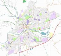
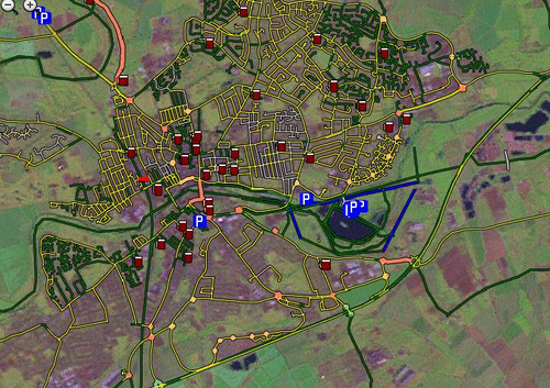
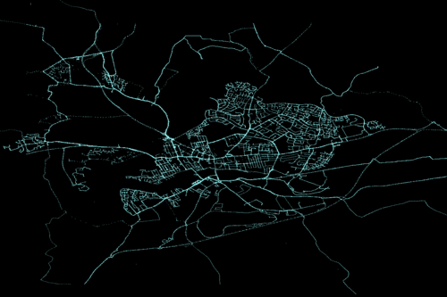
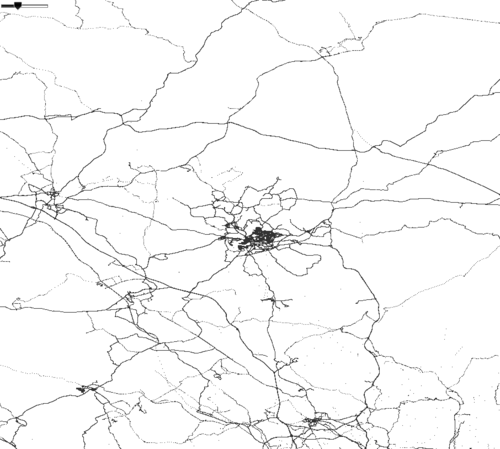
More maps at the bottom of the page.
Centre
| Location | Tracklogs | Labelled maps | Notes |
|---|---|---|---|
| Town centre (about) | 99% | 99% | All highways should be done. |
| Bedford area (about) | Comprehensive landuse areas of main Bedford in progress. Village activity will probably pick up come the summer.}} |
North
| Location | Tracklogs | Labelled maps | Notes |
|---|---|---|---|
| Oakley (about) | 100% | 80% | Should be complete |
| Clapham (Bedfordshire) (about) | 80% | 80% | Footpaths to do |
| Milton Earnest (about) | 30% | 30% | is mostly main roads, which are mapped already |
| Riseley (about) | 50% | 30% | Very partial coverage |
| Thurleigh (about) | 30% | 20% | Very partial coverage |
| Keysoe (about) | |||
| Brickhill (about) | 100% | 100% | All done. |
| Putnoe (about) | 100% | 90% | All done except for a chunk in the NW missing roadnames. |
| Renhold (about) | |||
| Pavenham (about) | 50% | 50% | Main roads done |
| Sharnbrook (about) | 30% | 20% | Main roads only |
| Bridleways around Twinwood farm (about) | 80% | 75% |
West
| Location | Tracklogs | Labelled maps | Notes |
|---|---|---|---|
| Bromham (about) | 80% | 80% | Nearly done I think! |
| Biddenham (about) | 100% | 100% | Footpaths complete |
| Turvey (about) | 90% | 90% | Footpaths to do |
| Stagsden (about) | |||
| Carlton (about) | 98% | 98% | Footpaths not done |
| Harrold (about) | 40% | 40% | Main roads only |
South
| Location | Tracklogs | Labelled maps | Notes |
|---|---|---|---|
| Kempston (about) | 99% | 99% | Should all be done. |
| Elstow (about) | 99% | 99% | Just missing a few interesting footways which I have yet to explore. |
| Shortstown (about) | 90% | 90% | Main roads marked but not named; no footpaths done yet. |
| Wooton (about) | 90% | 70% | Some footpaths complete; roads all traced except some really tiny ones but not all named |
| Wilstead (about) | 50% | 50% | North half done; many country footpaths completed. |
| Silsoe (about) | 98% | 98% | Silsoe |
| Cranfield (about) | 75% | 75% | |
| Henlow (about) | % | % |
East
| Location | Tracklogs | Labelled maps | Notes |
|---|---|---|---|
| Fenlake (about) | 99% | 99% | Should be done. |
| Cardington (about) | 99% | 99% | Should be done. |
| Great Barford (about) | 90% | 90% | Some little footpath/alleys missing. Also Great Barford's weird footpath |
| Willington (about) | 90% | 80% | |
| Cople (about) | 90% | 90% | |
| Blunham (about) | 70% |
Towns
| Location | Tracklogs | Labelled maps | Notes |
|---|---|---|---|
| St Neots (about) | |||
| Arlesey (about) | 60% | 50% | User:Steevc active here. Also mapping footpaths. Please post to Arlesey discussion page if any issues with tagging |
| Biggleswade (about) | |||
| Sandy, Bedfordshire (about) | 60% | 60% | Residential areas in north half of town still need attention |
Roads
| Location | Tracklogs | Labelled maps | Notes |
|---|---|---|---|
| Road to Rushden and Wellingborough (N) | |||
| Road to St Neots (NE) | done | done | |
| Road to Cambridge (E) | done? | done? | |
| Road to Baldock (SE) | ? | ? | |
| Road to Luton (S) | done | done | |
| Road to Milton Keynes (SW) | done | done | |
| Road to Newport Pagnell (W) | done | done | |
| Road to Northampton (NNW) | done | done | |
| Road to Sandy (E) | done | done |
|
Please update this table if you add maps to the area, or if you notice missing areas from our coverage
See creating status pages for help editing these tables


