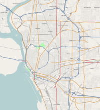
Buffalo, New York
| V・T・E |
| latitude: 42.9179, longitude: -78.8401 |
| Browse map of Buffalo 42°55′04.44″ N, 78°50′24.36″ W |
| Edit map |

|
|
External links:
|
| Use this template for your locality |
Buffalo is a city in New York, United States at latitude 42°55′04.44″ North, longitude 78°50′24.36″ West.
Progress Mapping Buffalo
Highways
As of 1-MAY-2008 - Most of the highways in and around Buffalo have been imported, but imported poorly. They are all shown as one lane and most have no route markers. I've begun working on the I-190 and NY-33
August-2008 - 33, 90, 190, 290, 990, 400, 198 & highway portion of rt-5 (skyway) have been complete. Need to watch development of new rt-5 and change map as needed
Bikeways
As of 1-MAY-2008 - Almost no bikeways have been mapped in Buffalo. I've begun with the bike lane on Richmond Avenue and the Riverwalk.
Parks
As of 1-MAY-2008 - I've mapped out Delaware Park, South Park, Cazenovia Park, Lasalle Park, Day's Park, Arlington Park, Lafeyette Square, Niagara Square, Symphony Circle, Ferry Circle, Colonial Circle, Soldiers' Circle, Gates Circle, Bidwell Parkway, Chapin Parkway.
Still Needed: Front Park, MLK Park, Riverside Park, others
- Aug-2008 - these parks are complete.
