File:AP fuel import before and after.gif
Original file (926 × 693 pixels, file size: 702 KB, MIME type: image/gif, looped, 43 frames, 8.4 s)
Note: Due to technical limitations, thumbnails of high resolution GIF images such as this one will not be animated.
Summary
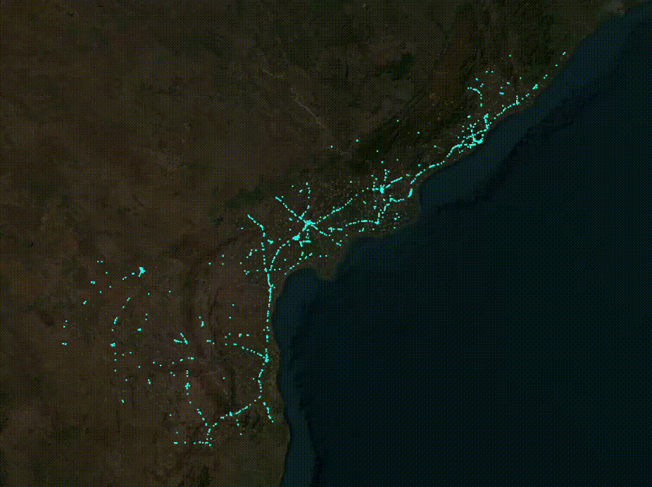
| Description | GIF of AP Fuels data before and after PMGSY Import in August 2024 |
|---|---|
| Author | Sai Phanindra |
| Source | own work |
| Date | 20241-08-17 |
Licensing
![]()
Esri (ArcGIS.com): "(...) Esri and its imagery contributors grant Users the non-exclusive right to use the World Imagery map to trace features and validate edits in the creation of vector data. Users that create vector data from the World Imagery map may want to publicly share that vector data through a GIS data clearinghouse of its own or through another open data site. This public sharing could be achieved through ArcGIS Open Data or the OpenStreetMap (OSM) Initiative. For ArcGIS users that want to contribute such vector data to OSM, Esri provides applications and services directly accessible from ArcGIS platform. Users acknowledge that any vector data contributed to OSM is then governed by and released under the OpenStreetMap License (e.g. ODbL).
Except for the additional limited rights granted above, any and all other uses of the World Imagery map remain subject to the terms and conditions set forth in the Esri Master Agreement or Terms of Use, as applicable. Esri and its imagery contributors retain all right, title, and interest in and to their respective imagery data contributed to the World Imagery map." (→ source)
"For More Info, visit: https://goto.arcgisonline.com/maps/World_Imagery "
File history
Click on a date/time to view the file as it appeared at that time.
| Date/Time | Thumbnail | Dimensions | User | Comment | |
|---|---|---|---|---|---|
| current | 16:28, 17 August 2024 | | 926 × 693 (702 KB) | Ph4ni (talk | contribs) | {{Information | description= | source= | date= | author= | other_versions= }} |
You cannot overwrite this file.
File usage
The following page uses this file: