File:BurgLandeck-WW-N.jpg
From OpenStreetMap Wiki
Jump to navigation
Jump to search
![File:BurgLandeck-WW-N.jpg](https://upload.wikimedia.org/wikipedia/commons/thumb/4/4e/BurgLandeck-WW-N.jpg/400px-BurgLandeck-WW-N.jpg)
Size of this preview: 400 × 600 pixels. Other resolutions: 160 × 240 pixels | 320 × 480 pixels | 512 × 768 pixels | 682 × 1,024 pixels | 1,365 × 2,048 pixels | 3,848 × 5,772 pixels.
Original file (3,848 × 5,772 pixels, file size: 6.5 MB, MIME type: image/jpeg)
This file and its description are from Wikimedia Commons.
Summary
Germany
Rhineland-Palatinate - Pfälzerwald 297 m ü. NHN
DescriptionBurgLandeck-WW-N.jpg |
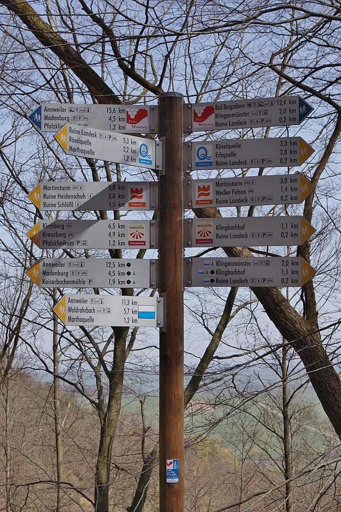
Deutsch: Wegweiser nördlich Burg Landeck für Pfälzer Weinsteig, Quellen-, Burgen- & Panoramaweg, sowie weitere vom Pfälzerwald-Verein. |
Date | Taken on 8 April 2018, 13:44:25 |
Source | Own work |
Author | FkMohr |
Camera location | 49° 08′ 35.32″ N, 8° 00′ 19.95″ E ![]() ![]() | View this and other nearby images on: OpenStreetMap | ![]() |
---|
RP {BF180408-1344}
Licensing
Friedrich-Karl Mohr, the copyright holder of this work, hereby publishes it under the following license:
![w:en:Creative Commons](https://upload.wikimedia.org/wikipedia/commons/thumb/7/79/CC_some_rights_reserved.svg/90px-CC_some_rights_reserved.svg.png)
![attribution](https://upload.wikimedia.org/wikipedia/commons/thumb/1/11/Cc-by_new_white.svg/24px-Cc-by_new_white.svg.png)
![share alike](https://upload.wikimedia.org/wikipedia/commons/thumb/d/df/Cc-sa_white.svg/24px-Cc-sa_white.svg.png)
This file is licensed under the Creative Commons Attribution-Share Alike 3.0 Germany license.
Attribution: Friedrich-Karl Mohr
- You are free:
- to share – to copy, distribute and transmit the work
- to remix – to adapt the work
- Under the following conditions:
- attribution – You must give appropriate credit, provide a link to the license, and indicate if changes were made. You may do so in any reasonable manner, but not in any way that suggests the licensor endorses you or your use.
- share alike – If you remix, transform, or build upon the material, you must distribute your contributions under the same or compatible license as the original.
![](https://upload.wikimedia.org/wikipedia/commons/thumb/b/ba/Flag_of_Germany.svg/90px-Flag_of_Germany.svg.png)
Captions
Add a one-line explanation of what this file represents
Wegweiser nördlich Burg Landeck [RP] 297 m ü. NHN
8 April 2018
49°8'35.322"N, 8°0'19.955"E
0.0015625 second
40 millimetre
100
image/jpeg
f24f49ecf42422a87d921df107679876a5f8aebb
6,813,942 byte
5,772 pixel
3,848 pixel
File history
Click on a date/time to view the file as it appeared at that time.
Date/Time | Thumbnail | Dimensions | User | Comment | |
---|---|---|---|---|---|
current | 20:42, 11 April 2018 | ![]() | 3,848 × 5,772 (6.5 MB) | wikimediacommons>FkMohr | User created page with UploadWizard |
File usage
The following page uses this file:
Metadata
This file contains additional information, probably added from the digital camera or scanner used to create or digitize it.
If the file has been modified from its original state, some details may not fully reflect the modified file.
Image title |
|
---|---|
Camera manufacturer | SONY |
Camera model | SLT-A65V |
Author | DSC02949;Friedo |
Copyright holder |
|
Exposure time | 1/640 sec (0.0015625) |
F Number | f/9 |
ISO speed rating | 100 |
Date and time of data generation | 13:44, 8 April 2018 |
Lens focal length | 40 mm |
Latitude | 49° 8′ 35.32″ N |
Longitude | 8° 0′ 19.96″ E |
Altitude | 297 meters above sea level |
Orientation | Normal |
Horizontal resolution | 350 dpi |
Vertical resolution | 350 dpi |
Software used | Microsoft Windows Photo Viewer 6.1.7600.16385 |
File change date and time | 13:44, 8 April 2018 |
Y and C positioning | Co-sited |
Exposure Program | Normal program |
Exif version | 2.3 |
Date and time of digitizing | 13:44, 8 April 2018 |
Meaning of each component |
|
Image compression mode | 2 |
APEX brightness | 9.321875 |
APEX exposure bias | −1.3 |
Maximum land aperture | 4.96875 APEX (f/5.6) |
Metering mode | Pattern |
Light source | Daylight |
Flash | Flash did not fire, compulsory flash suppression |
Supported Flashpix version | 1 |
Color space | sRGB |
File source | Digital still camera |
Scene type | A directly photographed image |
Custom image processing | Normal process |
Exposure mode | Auto exposure |
White balance | Manual white balance |
Focal length in 35 mm film | 60 mm |
Scene capture type | Standard |
Contrast | Normal |
Saturation | Normal |
Sharpness | Normal |
Unique image ID | C1C897937AA6489EAFBE46A9B998A7C1 |
GPS time (atomic clock) | 11:44 |
Receiver status | Measurement in progress |
Measurement mode | 3-dimensional measurement |
Measurement precision | Good (2.0799) |
Speed unit | Kilometers per hour |
Speed of GPS receiver | 1.522 |
Reference for direction of movement | True direction |
Direction of movement | 279.69 |
Reference for direction of image | True direction |
Direction of image | 69.52 |
Geodetic survey data used | WGS-84 |
Latitude destination | 49° 8′ 36.54″ N |
Longitude of destination | 8° 0′ 24.92″ E |
GPS date | 8 April 2018 |
GPS differential correction | 0 |
GPS tag version | 2.2.0.0 |
Short title |
|
Code for country shown | DEU |
Sublocation of city shown | Burg Landeck |
City shown | Pfälzerwald |
Country shown | Deutschland |
Province or state shown | Rheinland-Pfalz |
IIM version | 4 |
Retrieved from "https://wiki.openstreetmap.org/wiki/File:BurgLandeck-WW-N.jpg"