File:Hiratsuka Kamogawa OSM improvement.gif
Jump to navigation
Jump to search

Size of this preview: 640 × 599 pixels. Other resolutions: 256 × 240 pixels | 645 × 604 pixels.
Original file (645 × 604 pixels, file size: 734 KB, MIME type: image/gif, looped, 21 frames, 10 s)
Summary
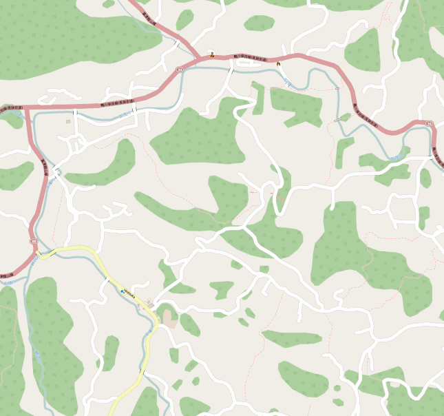
Mapping progress of improving OSM at Hiratsuka near Kamogawa, japan during my vacation.
Licensing
![]()
![]()
This screenshot contains OpenStreetMap Carto rendering.
The OpenStreetMap Carto map style is made available under the Creative Commons CC-0 1.0 Universal Public Domain Dedication.
- Attribution to the map data:
| Contains map data © OpenStreetMap contributors, made available under the terms of the Open Database License (ODbL).
The ODbL does not require any particular license for maps produced from ODbL data, produced maps may be subject also to other licences. |
![]()
This file has been released into the public domain by the copyright holder, its copyright has expired, or it is ineligible for copyright. This applies worldwide.
Please, please use more specific template such as {{PD-self}} / {{PD-creator}} / {{PD-shape}} / {{PD-USGov}} / {{PD-old}} / {{PD-RU-exempt}} ... This template is not making clear why this work is in the public domain.
Please, please use more specific template such as {{PD-self}} / {{PD-creator}} / {{PD-shape}} / {{PD-USGov}} / {{PD-old}} / {{PD-RU-exempt}} ... This template is not making clear why this work is in the public domain.
File history
Click on a date/time to view the file as it appeared at that time.
| Date/Time | Thumbnail | Dimensions | User | Comment | |
|---|---|---|---|---|---|
| current | 11:21, 1 December 2015 | | 645 × 604 (734 KB) | Planemad (talk | contribs) | Mapping progress of improving OSM at Hiratsuka near Kamogawa, japan during my vacation. |
You cannot overwrite this file.
File usage
There are no pages that use this file.