Guildford
| V・T・E |
| latitude: 51.234683, longitude: -0.577344 |
| Browse map of Guildford 51°14′04.86″ N, 0°34′38.44″ W |
| Edit map |

|
|
External links:
|
| Use this template for your locality |
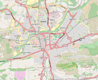
Guildford is a town in Surrey at latitude 51°14′04.86″ North, longitude 0°34′38.44″ West.
About Guildford
Guildford is a town to the South West of London. It's the County Town of Surrey, even though Surrey CC headquarters are in Kingston (which is no longer in Surrey). It is just outside the London#Yahoo! Aerial imagery coverage.
OSM Mapping coverage / progress
Jonobennett, Mezzanine and TimSC are mapping this area.
Guildford is mostly traced and tagged but there are many small improvements and tidying to be done.
To do:
- The Fox Way, a 40 mile orbital walk of Guildford. [1] 38496
 38496
38496 - Surrey Cycle Network routes nearby Guildford.
- Scholar's Trail
If you see any idea needing improving, please list below.
Map Problems by Area
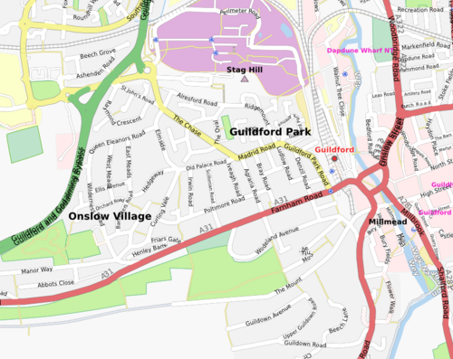
- Onslow Village
- POIs like bus stops and post boxes mostly missing
- Guildford Park
- POIs missing as above
- Guildown residential streets (south of Hog's Back, west of Portsmouth Road)
- Buryfields and Portsmouth Road as far as Artington
- Slyfield
- Bellfields
- Woodbridge Hill
- Town centre
- University Stag Hill campus
- Surrey Research Park
- Access roads to hospital
- University Manor Farm campus
- Area under construction and needs updating.
- Stoughton
- Ryde's Hill
- Park Barn
- Burpham
- A few roads have no names.
- Merrow
- A few roads have no names.
Colour and symbol legend
The status of each map region is indicated by a symbol, which describes the type of feature, and a colour, which indicates the completeness of that feature in a map region.
Usage
The status is displayed using a template Template:State
{{State|Key=progress}}- progress - 1/2/3/4/NA
Meaning of symbols
 - Street names are labelled. This means that the map can be used to find an address - Key: l
 - All housenumbers are present - Key: h
 - All footways are present - Key: fo
 - All wheelchair access is present - Key: d
 - All cycleways, and field and forest roads suitable for bicycles are present - Key: b
 - Roads for car traffic are present. One way streets and pedestrian streets are present. This means that the map can be used for car navigation - Key: c
 - All public transports are present (including name of the bus stop/station names) - Key: tr
 - All stop/station/harbour names are present - Key: ha
 - All bus lines are present (including name of the bus stop names) - Key: bu
 - All trolley/guided bus lines are present (including name of the station names) - Key: ty
 - All tram lines are present (including name of the tram station names) - Key: tm
 - All fast railway lines transports are present (including name of the train station names) - Key: tn
 - All U-Bahn (subway in Germany) lines are present (including name of the station names) - Key: u
 - All S-Bahn (regional commuter train in Germany) lines are present (including name of the station names) - Key: s
 - All steam railway lines transports are present (including name of the train station names) - Key: st
 - All ship lines are present (including name of the harbour station names) - Key: sh
 - All public institutions are present (Churches, sports facilities, venues, schools, hospitals, city hall) - Key: p
 - All petrol stations are present - Key: fu
 - All restaurants and hotels are present - Key: r
 - All tourist attractions are present - Key: t
 - All natural resources are mapped (e.g Water, Lakes and Woodland) - Key: n

