Hedge End & Botley
Jump to navigation
Jump to search


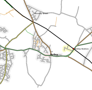
Hedge End and Botley are two neighbouring villages east of Southampton in Hampshire and were being mapped by Deanna Earley.
Both are complete road wise bar a few service roads, although the Dowd's farm estates need to be finished off.
Of course, both are subject to minor tweaks as more traces are generated and processed.