Hyderabad, India
Jump to navigation
Jump to search
| V・T・E |
| latitude: 17.3884, longitude: 78.4664 boundary: 72559867255986, label: 245640543245640543 |
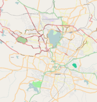
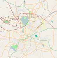
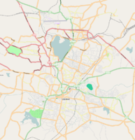
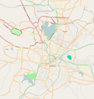
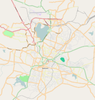
| Browse map of Hyderabad ((te)హైదరాబాదు, (ur)حیدرآباد) 17°23′18.24″ N, 78°27′59.04″ E |
| Edit map |
|
|
External links:
|
| Use this template for your locality |
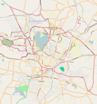
Hyderabad ((te)హైదరాబాదు, (ur)حیدرآباد) is a city in Telangana, India at latitude 17°23′18.24″ North, longitude 78°27′59.04″ East.
Officially 4.89 million inhabitants.
OSM coverage
Good.
Todos
Things that cannot be mapped from Yahoo Aerial and require local users:
- street names and correct highway types and restrictions (maxspeed, oneway)
- residential streets
- mayor public buildings
- points of interest
- landuse
- expansion of mapped area
- Rajiv Gandhi International Airport

