Spatial Data Infrastructure of the Balearic Islands
Infraestructures de Dades Espacials de les Illes Balears (IDEIB) is a web page depending of the Conselleria de Medi Ambient i Mobilitat, of Govern de les Illes Balears. This page pretends to have a set of data, technologies, politics and standards and publishes geographic information on the Balearic Islands
Visor
In this page, there is a map visor, in which there are several layers: ortophotos (satellite/aeroplane images), zone topographic images, altitude, streams, roads, hospitals, etc. You can see the road layer as an example. The data of the visor belong to different sources: Sitibsa (public enterprise depending of the Government of the Balearic Islands), the Council of Majorca, the Council of Menorca, the Council of Eivissa, the Council of Formentera, Consell de Mallorca, el Consell de Menorca, el Consell d'Eivissa, el Consell de Formentera, town councils, the catastro and others.
License
Each layer has a specific use policy. In the service section in the catalog, you could find information about the policy of each layer. In principle, each layer has copyright of respective owners and specific license. Although it seems that the policy of use of the web page is compatible with the OSM license, the specific license of each layer predominates. So, in principle, you could not use the layer for editing OSM maps. It seems that the policy of the web page only applies when we use the visor. For the other hand, for using a layer as a WMS, the license of the layer is applied, because it does not use in the web page.
Use as layers in OSM
We have permission for use only the aerial images as a WMS layer (for example with JOSM program) for editing and creating points in OpenStreetMap. Specifically, we can use the ortophotos of 2006. You could use the layer with the above URLs. Always we have to mention the source. The best is that you tag with "source=ideib.cat" the objects you edit with this layer. Also, for convenience, you could put "source:ideib.cat" in the "comment" tag (if you use JOSM program, it's the comment you edit just before upload data, for resume the changes). This tag appears in the upload data comments in OSM. You could not use any else layer.
Getting permission
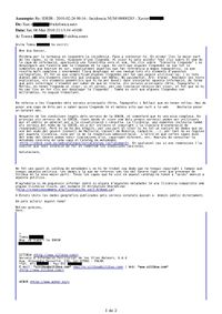
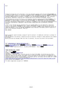
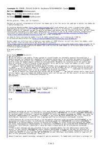
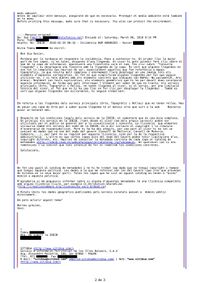
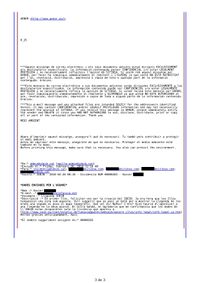
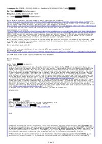
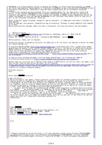
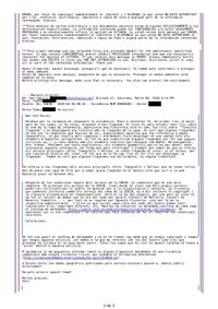
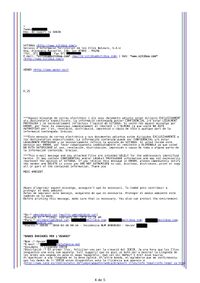
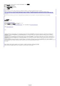
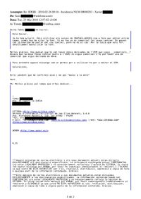
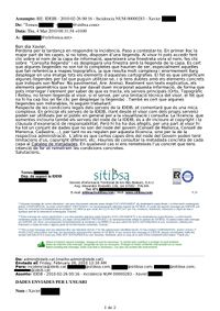
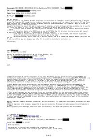
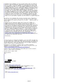
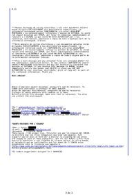
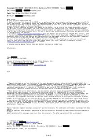
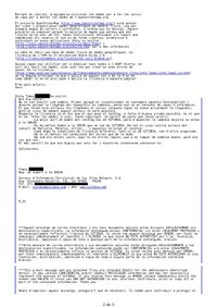
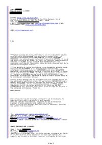
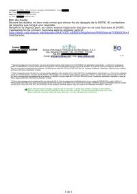
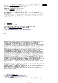
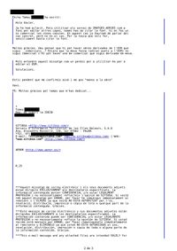
We obtained the permission after which the somenxavier has an issue on the ideib.cat and subsequently contacted by an IDEIB responsible. You can check all the emails received and sent to obtain the permit (in Catalan) below. The mails have the surnames, telephones and emails removed to protect the privacy. Mail where explicitly gives permission to use the aerial imagery layer whenever the source is called number 6 y number 7 of the receipts.
How to use this WMS layer into JOSM?
The JOSM is one of the simplest programs for editing OSM. For add the ideib layer to JOSM you have to:
- Go to "Edit"--> "Preferences (F12)" --> "WMS"
- Click on "Add" and put to "Name" ideib or something else and to "URL" the following URL:
or, alternatively, the previous mentioned URL (which ends with jpg).
Remember: you have to mention the source if you want to use this layer (see above)
