Import/Catalogue/NYC Buildings Addresses
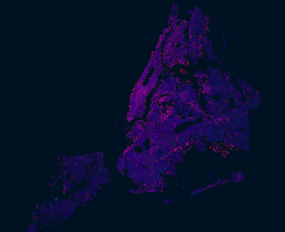
An import of New York, New York building perimeter outline and address point data by NYC DoITT City Wide GIS Services to OpenStreetMap
Current status
All data is uploaded. As of mid-2014 we are in final cleanup mode. Remaining tasks are captured on Github: https://github.com/osmlab/nycbuildings/issues/
Proposal
In March 2012, New York City released all government data to the public. Of particular interest to OpenStreetMap are building perimeter outlines and address point data, both datasets are of high quality and labor intensive to collect manually. This proposal suggests a full community supported import of all NYC building and address data, reconciling overlaps with OSM data. This proposal is complementary to changewithin a tool used by the NYC government to detect building and address changes in OSM to drive updates to their public datasets.
The idea of this proposal is not only to improve OpenStreetMap in New York City with vital building and address data, but set a strong example of how governments can engage with OpenStreetMap by opening geo data and thus benefiting by gaining an additional vector for detecting changes in the real world.
NYC building data
Data
License
Per Local Law 11 of 2012, all NYC government data is to be provided "without any registration requirement, license requirement or restrictions on their use" (23-502 d), effectively putting it in the public domain.
Both, address point data and building data fall under this law, hence have the label "Public" under access on the web site:
- Local Law of 2012 establishing the public status of NYC data
- NYC Open Data Policy and Technical Standards Manual
Import process
- Process building+address shapefiles into election district size .osm files (done)
- Peer review by NYC community, imports-us and imports working group
- Upload data by volunteer group of mappers please apply to participate
Upload workflow
The .osm files generated by the conversion scripts are all to be reviewed manually and then uploaded with JOSM. We will use a tasking manager job to coordinate the effort. Most users won’t need to run the script, but just pick off a task from the tasking manager, which will open the right import file in JOSM.
- Reserve an election district size area on the NYC task on tasks.openstreetmap.us
- Open corresponding area in JOSM. This loads the relevant .osm file with buildings and addresses and downloads existing OSM data from OSM.org
- Manually conflate duplicate buildings, addresses and attributes.
- Run JOSM validation
- Address validation warnings and errors
- Upload under a dedicated upload account per user
Dedicated upload account
Uploads need to be done with dedicated upload accounts. Follow this pattern for creating a user account name just for this import:
<username>_nycbuildings
So for user lxbarth, the name for the import account would be:
lxbarth_nycbuildings
Conversion code and converted data
We have created scripts that process NYC building and address shapefiles into election district size .osm files. They relate addresses to buildings, concatenate and clean up addresses and export addresses separate from buildings where more than one address relates to a building. The script simplifies building polygons and handles multipolygons.
- See all details in the script’s README.
- Sample: Building and address OSM file ready for manual review and upload http://cl.ly/2f0E1d3e2k1z
Attribute mapping (tags)
[Refer to corresponding section on Github project osmlab/nycbuildings
Timeline
- Proposal review September 3rd - September 13th 2013.
- Full release of data on NYC Open Data - ~ September 15th 2013
- Incorporate feedback and test imports by September 20th 2013
- First small group imports September 20th - October 12th 2013
- Community import sessions October 12 and 13 2013
- Finalize import throughout end of October and beginning of November 2013
