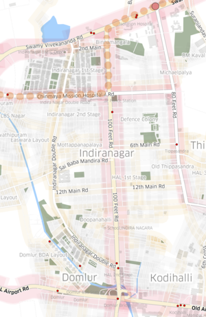
India/Events/Bangalore Mapping Party 1
Lets get together and do some mapping!
- Date: Sunday 8th March 2015
- Time: Start at 2pm
- Place: Mapbox Bengaluru, Indiranagar 1st Stage (Map)
Things to do
- Intros
- Do some neighborhood mapping in the locality
- Eat some snacks
- Improve OSM, Kannada names
- Play with localized rendering [1]
- Discuss future mapping parties and local map issues
- Back home by 5pm
Directions
- Mapbox is located on the 2nd Floor above the SBI Women's Branch, behind Indiranagar BDA Complex/RTO
- Landmark: Adigas on Indiranagar Double Road
- Public transport: 10 minutes walk from KFC junction bus stop and Indiranagar metro station
- Reaching Mapbox Bengaluru Map
Attending
Announcements
Report
While I was lounging around in the Mapbox couches, Arjuna from the Wikimedia India Chapter along with his daughter Srujana and her friend Krithika were the first to arrive. Anmol who organises Bangalore RHoK soon joined in and I got started preparing the fieldpapers of our neighborhood that we were going to survey on foot. Srividya and Yogesh who have been doing some excellent field mapping in northwestern rural Karnataka also joined us in a few minutes and we were all set to kick off.
We started of with brief introductions, and I gave a 5 minute overview on the Openstreetmap project for the benefit of those were new to the concept of open source maps. Copies of the Indiranagar fieldpapers were distributed and we started planning our next steps on the map, quite literally. We divided the neighborhood into 4 sectors and two of us each picked a sector to survey and collect details of the physical space - street names, house numbers, eating places, doctors, speed breakers, trees, trash bins or anything else we felt needed to be on the map. After getting equipped with our sophisticated tools - the fieldpapers printout, a notepad and a pen each, we were out immersing ourselves into everything the public spaces had to offer us.
We promptly regrouped in an hour at 4pm, with the exception of Srividya and Anmol who were still finding their way back. After some fruits and juices to refresh ourselves, we discussed any interesting encounters or observations that is common on such foot explorations. Once everyone was back, we got around to adding our data onto OSM. After everyone had setup an account and logged in, we had a quick tour of the map editor and editing process. Soon everyone started trying this out for themselves on their laptops and there was only mouse clicks to be heard for some time as data quickly got transferred from paper to the digital world.
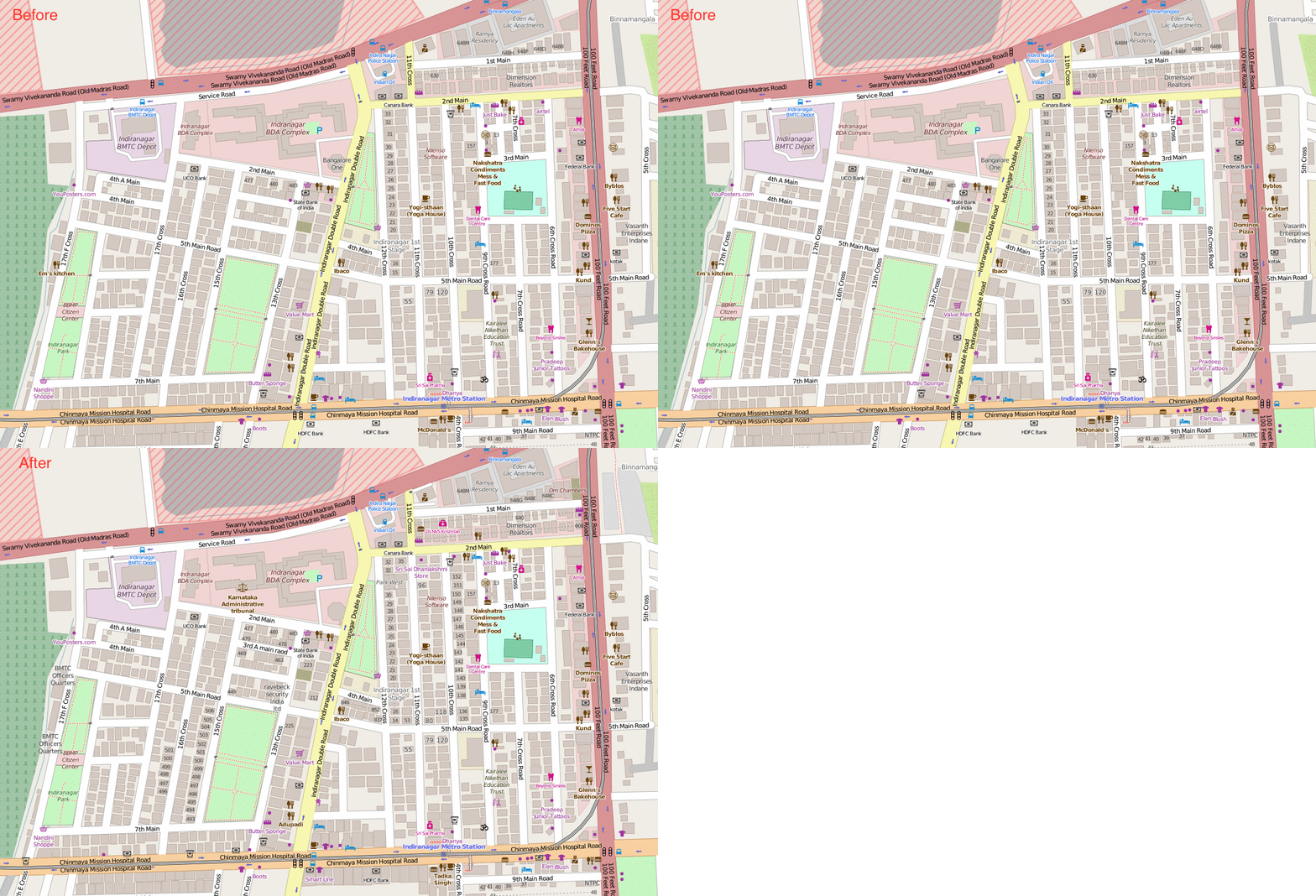
In 30 minutes, everyone was done, and we checked out how the map had changed before and after our work [2]. Srujana and Krithika completely enjoyed the whole process and were eager to do a similar activity in their own neighborhood with friends. Arjuna was interested to know how these maps can be used on Wikipedia articles and we discussed various export options[3] including images and svg that can be customized in inkscape. We briefly touched upon using OSM data in QGIS to make custom maps if needed.
Later in the evening Yogesh and I got started on trying out rendering a map in the local language Kannada. After some experimentation and failed attempts, we figured out the process in Mapbox Studio and were pretty excited to see it live on the web in a few minutes. He has written a quick post on how it was done. You can see the wonderful map here - Indiranagar Kannada Street Map.


