Key:police
Jump to navigation
Jump to search
| Description |
|---|
| Used for all police facilites except public-facing police stations. |
| Group: police |
| Used on these elements |
| Documented values: 13 |
| See also |
| Status: approved |
| Tools for this tag |
|
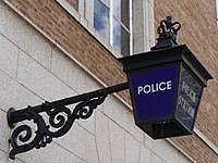
The key police=* is used for all police facilities that are not public-facing police stations (which are tagged with amenity=police instead). Please refer to country-specific documentation in order to find out what is considered "police" in the respective region (e.g. military police units may be considered police or military in different countries).
Values
LOADING TAG LIST...
