Kinshasa
| V・T・E |
| latitude: -4.32, longitude: 15.3 |
| Browse map of Kinshasa 4°19′12.00″ S, 15°18′00.00″ E |
| Edit map |

|
|
External links:
|
| Use this template for your locality |
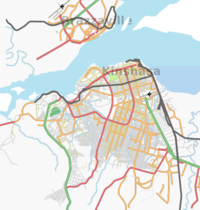
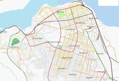
Kinshasa is a city in Congo-Kinshasa, Africa at latitude 4°19′12.00″ South, longitude 15°18′00.00″ East.
Kinshasa est la capitale de la République Démocratique du Congo.
Attention : l’imagerie haute définition Bing est décalée, utilisez la correction 24.80; 3.30.
Kinshasa is the capital of the Congo (DRC) which has French as its official language. Lingala, one of the four national languages, is also widely used in the city, while the other languages are used in specific communities. See WikiProject Congo-Kinshasa for country level coordination and more community links
Mapping progress
Browse the current map to see mapping progress.
Mapping of Kinshasa progressed rapidly back in 2007 (quite early in OpenStreetMap's history), and since then Kinshasa has been the focus of several humanitarian mapping initiatives as a well as having an active local mapping community.

Limites des communes et districts
Ville-province de Kinshasa : 5646651![]() 5646651
5646651
district de la Funa :
| Bandalungwa | 388091 |
| Bumbu | 388134 |
| Kalamu | 388127 |
| Kasa-Vubu | 388094 |
| Makala | 388133 |
| Ngiri-Ngiri | 388092 |
| Selembao | 388135 |
district de la Lukunga
| Barumbu | 388104 |
| Gombe | 388098 |
| Kinshasa | 388103 |
| Kintambo | 388090 |
| Lingwala | 388097 |
| Mont Ngafula | 389761 |
| Ngaliema | 389760 |
district du Mont Amba
| Kisenso | 389536 |
| Lemba | 389335 |
| Limete | 388599 |
| Matete | 389334 |
| Ngaba | 388139 |
district de la Tshangu
| Kimbanseke | 389614 |
| Maluku | 389746 |
| Masina | 389694 |
| Ndjili | 389659 |
| Nsele | 389689 |
