Lake District Mapping Week 2007
We had a Lake District Mapping Week in July 2007. This is a past event
Introduction
Dates: July 3rd - 8th, 2007
This was a countryside mapping event following on from the New Forest event 2006.
The idea was to focus on one particular area, to make a start and to encourage others to continue. In view of relatively easy accessibility combined with good scenery, we chose the Grasmere-Langdale-Ambleside area (see map below), extending to Coniston or over the top to Borrowdale, depending on people's preferences and the weather.

To get a significant amount mapped, I arranged for it to be a week-long event, running from Tuesday July 3rd to Sunday July 8th. However, people either stayed for the whole time or dropped in and out as they felt like it.
Who was there?
Well here's the original sign up list.
Nick Whitelegg will be there for the whole period and is staying in B&B in Ambleside. Contact details: nick@hogweed.org or 07950 347717.
Blackadder - Arriving Friday evening through to Sunday afternoon. Camping at Tarn Foot Campsite.
Steve8 Travelling up early Thursday morning, back home on Monday - mapping mostly biking routes. Booking B&B for Thursday night (Ambleside), staying with mate in Staveley Fri, camping at Tarn Foot Farm Sat and Sun.
Neville Palmer will be staying Thursday to Saturday, probably camping.
Warren Earle will likely be staying Saturday to Sunday.
Ben - Arriving Friday evening through to Sunday afternoone. Camping at Tarn Foot Campsite.
Planning
No subdivision as it depended on each's preferences - whether it be high walking, low walking, cycling, roads, villages/towns, or some combination of these. It is important however to have coordinated approach to what is being done, and what is achieved. To this end there was either morning or evening planning sessions (or both) - with evenings doubling as socials.
Morning planning venue: We were very grateful for the provision of free use of a room at Brathay Hall Training Centre [1] for planning meetings for 1 hour on Fri, Sat and Sun (9-10am). This is just outside Ambleside (see map above), and also not far from camping site.
Evening planning/social venue: Royal Oak Inn [2] (Ambleside). Pub in central Ambleside that has free wifi.
Results
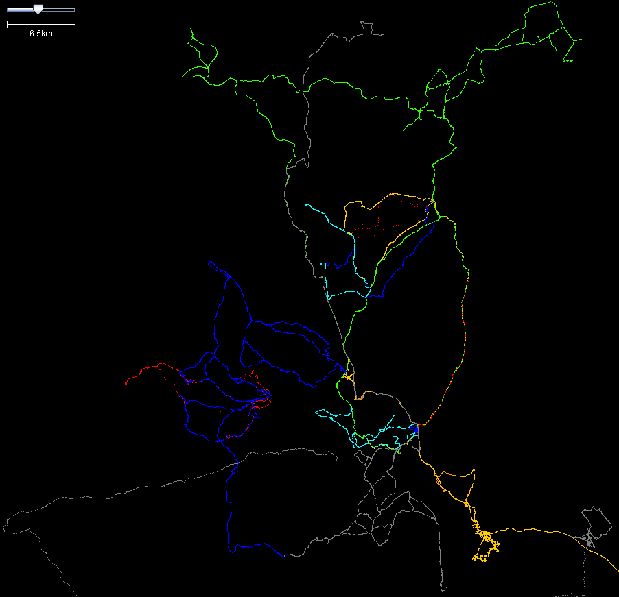
Screenshot of GPS traces produced, coloured for individual contributors (whose time varied from just the weekend to several days). Does not include long run in to area by blackadder, and a long drive by Steve8 to pick up main access road to Lakes from South.
Photos from party
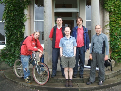 Team on the steps of Brathay Hall, our planning venue each day (Ben, Andy, Rob, Nick and Neville)
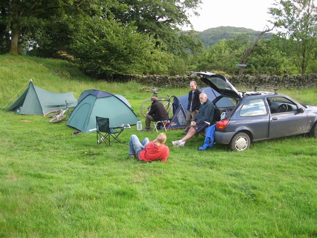 Camp OSM at Tarn Foot Farm, Loughrigg.
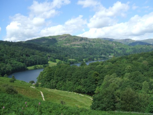 Highway=bridleway, view=superb - surveying the Loughrigg Terrace bridleway
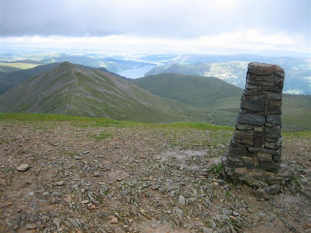 The summit of Helvellyn. Andy, Rob, Nick and Neville all made it to the top at some point on Saturday.
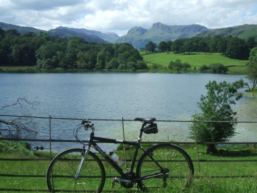 The view from by the campsite - Langdale Pikes over Loughrigg Tarn
