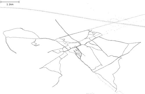
Leefdaal
Jump to navigation
Jump to search
| V・T・E |
| latitude: 50.847532, longitude: 4.590182 |
| Browse map of Leefdaal 50°50′51.12″ N, 4°35′24.66″ E |
| Edit map |
|
External links:
|
| Use this template for your locality |
Leefdaal is a town in Belgium at latitude 50°50′51.12″ North, longitude 4°35′24.66″ East.
Mapping day Leefdaal
Leefdaal mapping started on November 11th, 2006. Nothing was done in this area yet so all inital data was gather on the Leefdaal mapping day, a 2 hour long mapping session by foot, bike and car. This was probably one of the first mapping days in Belgium so thanks RichardH, Pimpel, Jelle and Cimm for making this happen.
To do
- No street names for the Shollenberg neighbourhood, which street is were exactly?
- No street names for the Veldbloemenstraat neighbourhood
- Some missing streets and neighbourhoods between the Mezendreef and the Boskee
Related resources
Almien rendering of Leefdaal from the same OSM data.
Previous versions
<gallery> Image:Leefdaal.png|Status on 2006.11.19 <gallery>

