Michigan Lefts
A Michigan Left is an at-grade intersection design that replaces a traditional left turn maneuver with a right turn and a u-turn. Michigan Lefts are predominately found in the state of Michigan. Other states that have been observed to incorporate Michigan Left roadway design include Louisiana, Texas, Utah, North Carolina, and Arizona. Michigan Lefts have also been observed in Australia and Mexico.[1]
How To Map Michigan Lefts
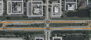
As mentioned above, the Michigan Left replaces the traditional left turn maneuver with a right turn and u-turn maneuver. Michigan Lefts in OpenStreetMap are digitally represented by (i) using the turn:lanes tag and (ii) creating No Left Turn turn restrictions. Examples of Michigan Lefts are depicted in the table below.
| This is an example of a Michigan left turn intersection (available here)
Add turn restrictions to all left turns to and from the main road. | |
| Once the turn lane appears, split the road. Add the lanes count, including the turn lane. Then add the turn:lanes value. | |
On the link road, add the lanes count. Then add the turn:lanes value.
| |
Note that the left turn may also serve as a turn lane for another road, in this case ensure at least one lane is left;through in turn:lanes to allow routers to access the other road.
|


