Montreal mapping party
Visitez le site local de la communauté montréalaise
The Montreal Mapping Party will occur on 20-21th September 2008, to map the Island of Montreal. All participants should meet at Brûlerie St-Denis on September 20 at 10 AM. We will again meet in the evening at Bar La Quincaillerie for a drink.
Notice for French speakers: Même si cette page est en anglais, plusieurs participants parleront français. N'ayez donc pas peur de vous joindre à nous! Voici d'ailleurs l'annonce en français de l'événement, et l'événement Facebook.
Organizer: User:Elecnix
Useful links:
Note that there will be a mapping party in Sherbrooke city on the same day.
Map Montreal without a GPS
The Yahoo! Aerial Imagery negates the need for a GPS in Montreal. The idea will be to map using the imagery for geometry and going round finding street signs. No GPS required!
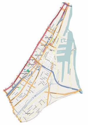
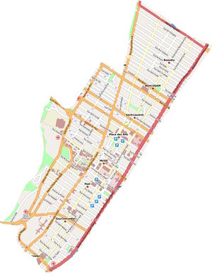
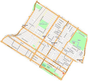
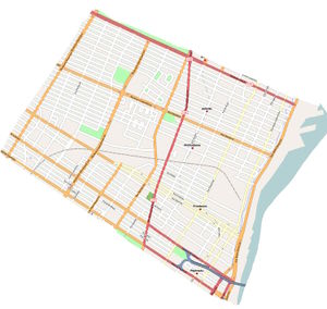
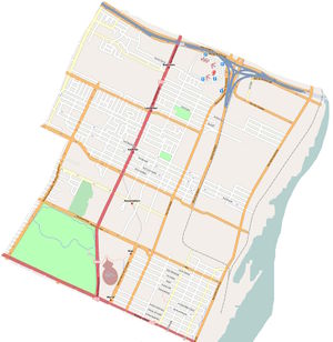
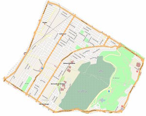
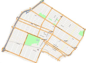
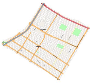
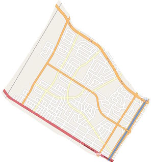
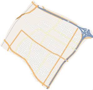
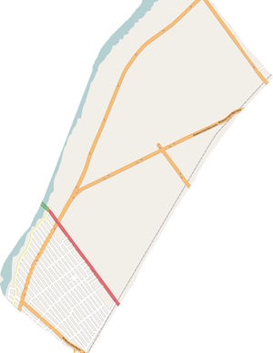
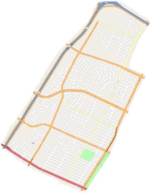
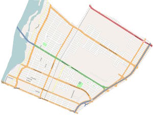
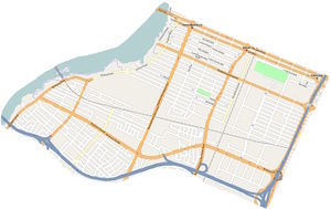
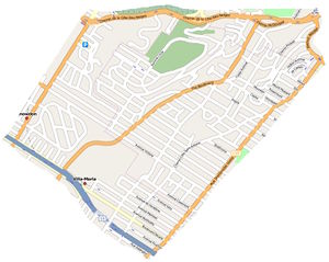
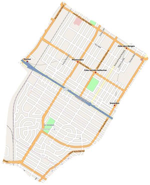
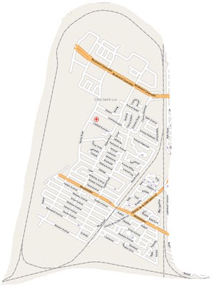
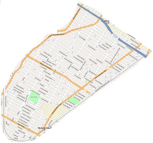
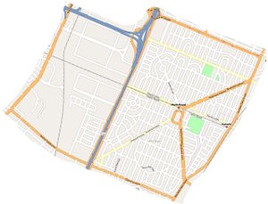
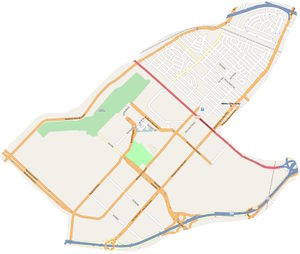
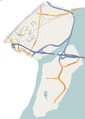
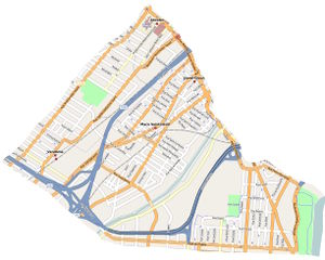
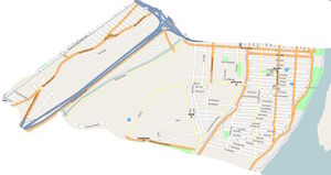
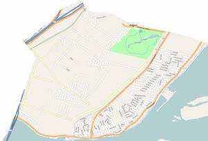
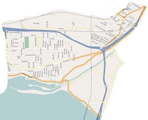
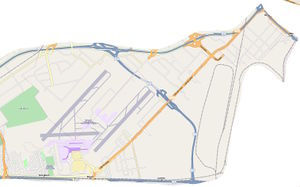
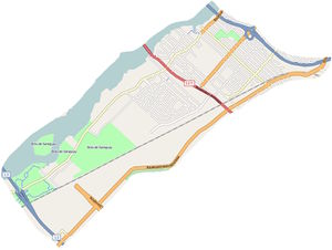
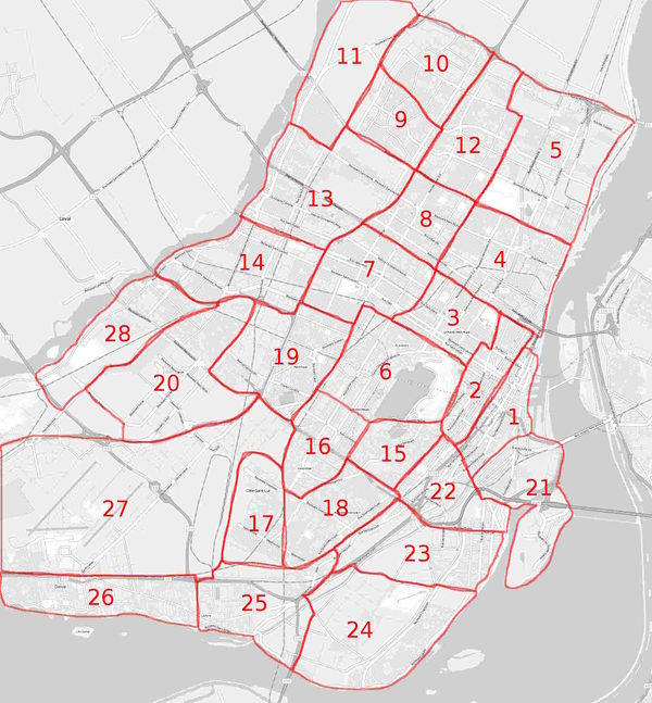
The following screenshot shows most of the island and is divided into sectors for coverage by individuals, pairs or groups on each day. Each sector will have a map of the existing OSM coverage and a printout of the Yahoo imagery overlain with the existing data (see illustrations).
Areas
| |||
| Area | Maps | Description | Who will map this area |
|---|---|---|---|
| 1 | Slippy Map | Old Montreal | |
| 2 | Slippy Map | Downtown | |
| 3 | Slippy Map | Plateau Mont-Royal: From Sherbrooke / Des Pins to Rosemont and from Parc to Papineau | |
| 4 | Slippy Map | Maisonneuve: From Papineau to Pie-IX, and from Notre-Dame to Rosemont | |
| 5 | Slippy Map | Hochelaga: From Pie-IX to the 25, and from Notre-Dame to Rosemont | |
| 6 | Slippy Map | Outremont: From Des Pins to Jean-Talon, and from Côte-des-neiges to Parc | |
| 7 | Slippy Map | Parc-Extension | |
| 8 | Slippy Map | Saint-Michel | |
| 9 | Slippy Map | Saint-Léonard (ouest) | |
| 10 | Slippy Map | Saint-Léonard (est) | |
| 11 | Slippy Map | Montréal-Nord | |
| 12 | Slippy Map | Anjou | |
| 13 | Slippy Map | Ahuntsic (est) | |
| 14 | Slippy Map | Ahuntsic (ouest) | |
| 15 | Slippy Map | Westmount | |
| 16 | Slippy Map | Côte-des-Neiges / Hampstead | |
| 17 | Slippy Map | Côte-Saint-Luc | |
| 18 | Slippy Map | Notre-Dame-de-Grâce | |
| 19 | Slippy Map | Mont-Royal | |
| 20 | Slippy Map | Saint-Laurent | |
| 21 | Slippy Map | Île-des-Soeurs | |
| 22 | Slippy Map | Saint Henri | |
| 23 | Slippy Map | Verdun (est) | |
| 24 | Slippy Map | Verdun (ouest) | |
| 25 | Slippy Map | LaSalle | |
| 26 | Slippy Map | Dorval | |
| 27 | Slippy Map | Aéroport de Montréal | |
| 28 | Slippy Map | Saint-Laurent (nord) | |
Printable maps
Planning to attend
- User:Elecnix
- Sylvain Carle (User:sylvaincarle)
