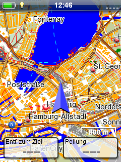
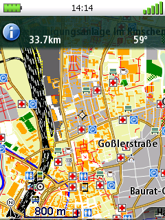
OSM Map On Magellan
This page provides information on how to use OSM data with Magellan GPS units. Currently the map format of the devices is very good understood for simple raster maps. Support for Vector maps is intermediate (no routing, ...) with Open Source software, but there is a full featured commercial SDK by Magellan for creating maps. And you can also install third party navigation software (iGO, CityGuide, Navitel, 7ways, etc.) on touch-screen models (Triton 1500, 2000, eXplorist 510, 610,710) using microSD memory card and "tritonmod" or "eXmod" launcher.
Vector maps


Pre-made map downloads
| Country | Provider | Updated | Routable | Notes |
|---|---|---|---|---|
| All European Countries Asia Middle America North America South America Africa Middle East GB Germany ...some smaller regions |
maps4me.net | quarterly | no | need to pay for larger maps, mixed with other free mapssources |
| Croatia Croatia, Slovenia, Bosnia, Monte Negro |
osm-hr.org by User:Hbogner | no | Created with pymagellan | |
OpenSeaMap Europe |
maps4me.net | 02/2014 | overlay only |
Raster maps
Raster maps just include the images of the map. So zooming will reduce quality and you can't do any routing. The only step to do is, to embeds OSM prerendered tiles in the Magellan specific map package format.
Pre-made map downloads
| Country | Provider | Updated | Routable | Notes |
|---|---|---|---|---|
| EU Asia Middle America Middle East GB Germany ...some smaller regions |
maps4me.net | ? |
? |
need to pay for download access |
Generators
- RMP Creator by Pico
- RMPCreator by antalos
- Mobile Atlas Creator
- geotiff2rmp.py by bazuchan
- mm.gen