Proposal:Advanced stop line
| Advanced stop line | |
|---|---|
| Proposal status: | Abandoned (inactive) |
| Proposed by: | awardle |
| Tagging: | cycleway=advanced_stop_line |
| Applies to: | node |
| Definition: | Used to show junctions that have advanced stop lines |
| Statistics: |
|
| Rendered as: | * |
| Draft started: | 2010-05-19 |
| RFC start: | 2010-05-19 |
| Vote start: | 2010-06-17 |
| Vote end: | 2010-07-01 |
Summary
Many junctions how have advanced stop lines for cyclists. There is no way to show these on a map currently. The tag would be used on a node that was placed where the advanced stop line is. This node would be part of the road. Therefore at a junction where 4 advanced stop lines, 4 nodes would have to be placed.
Rationale
Advanced stop lines are an area in front of traffic lights at a junction that allow cyclists to position themselves in front of the queueing traffic. These area are reserved for cyclists to make sure that they are clearly seen. They also help cyclists would need to turn right allowing them to position themselves on in the middle of the road. As advanced stop lines make cycling on roads more convenient (but not necessarily safer: http://www.bikexprt.com/bikepol/facil/stopline.htm), it is useful to know where they are when planning a route. Currently there is no way of knowing where these advanced stop lines are.
Advanced stop have started to appear in most cities across the world, therefore there is a lot of place where this tag could be used.
This tag would allow users to find routes that are more convenient for cycling. It would also allow people to find out how an area was designed for cyclists.
Rendering
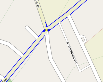
A possible way of rendering advanced stop lines on the map
Comments
- Agree with the desire to map these - I'd been wondering how to do it myself, particularly on roads where there is no cycleway, except for these boxes. I don't like "cycleway=asl" though (not at all intuitive), maybe "cycleway=stop_box" or something. You could also clarify that the nodes are part of the road ways - I assume that's what you meant. One issue with your rendering is the renderer needs to know which side of the road one drives on - not sure they currently do. Stevage 04:41, 22 May 2010 (UTC)
- I think the bigger problem is, that a node in the pgsql table does not know about its orientation. (correct me if I'm wrong.) So it's not possible to draw it on one side of the highway. --t-i 05:17, 22 June 2010 (UTC)
- In Japan this kind of line is called 二段停止線(means two step stop lines) and mainly for motorcycle. Also it's only a single stop line not connected to cycleway.- higa4 07:30, 22 May 2010 (UTC)
- I chose cycleway=asl because people have already used this tag. However I do agree that it is not intuitive. I not sure about cycleway=stop_box though, it doesn't seem very clear about one is. - awardle 2010-05-22 08:26 (UTC)
- Is cycleway=advanced_stop_line as proposed here better? Mateusz Konieczny (talk) 10:53, 17 July 2019 (UTC)
Voting
 I approve this proposal. -- Dieterdreist 20:59, 17 June 2010 (UTC)
 I oppose this proposal. --amai 17:35, 12 July 2010 (UTC)
 I approve this proposal. --MojaveNC 21:40, 2 August 2010 (BST)
Before you start the voting please post the link to the request for comments thread on the talk mailing list.--Lulu-Ann 14:52, 13 July 2010 (UTC)

