Proposal:Path defined by
| path_defined_by | |
|---|---|
| Proposal status: | Abandoned (inactive) |
| Proposed by: | Rostranimin |
| Tagging: | path_defined_by=full_construction:partial_construction:worn_line:indistinct_worn_line:animal_wear:gap_in_vegetation:route_markers |
| Applies to: | |
| Definition: | A new key to make it easy to record path status |
| Statistics: |
|
| Rendered as: | variation in symbology for path or footway |
| Draft started: | 2019-05-20 |
Proposal
This proposal is for a very simple scheme for categorising paths and capturing path status, using one single simple key "path_defined_by"
What forms a 'path' varies greatly, and the differences matter in practice.
Existing attempts to classify or rank paths (and footways) have not been successful, or use very specialist tags covering only very limited circumstances. The idea that objective facts about paths can be mapped in sufficient detail to make it possible to categorise them is unrealistic in the short term (and perhaps the long-term).
Rationale
The problem
Paths vary hugely in character - but current mapping struggles to capture the differences.
There have been various attempts to agree a simple method to categorise or rank paths and path status. Two key proposals were ( pathtype which has seen a very small use, and ( pathtype(alternative) which has not been used at all. There is also the more specialist sac_scale and mtb_scale) which seems successful in only limited circumstances - and in particular is of little use for covering general urban or semi-urban paths or footways.
What people call a 'path' varies hugely. In theory it might be best to record path attributes and to categorise paths according to this data, but in practice this is entirely unrealisitc (at least in the short term). To classify a path adequately it is necessary to take into account at least path width, incline, tilt, variation in tilt/incline, degree of camber, edge quality and character, surface material, surface material grade, surface compactness, surface slipperyness, smoothness, and visibility. Partly issues also arise because paths are used by people with such different needs - whether for example on foot, in small motorised vehicles, on one of many very different bicycle designs, in one of many wheelchair designs, or pushing many different forms of wheeled equipment. This means that it becomes almost impossible to agree on simple definitions of some important characteristics (such as 'smoothness').
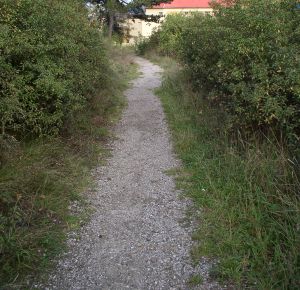
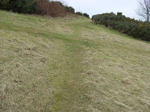
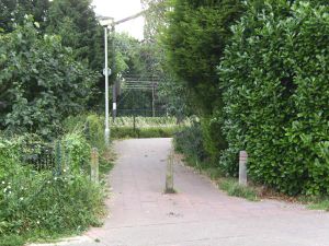
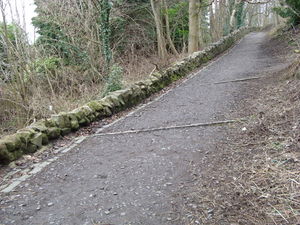
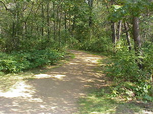
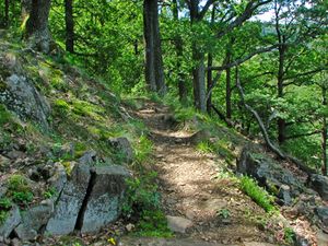
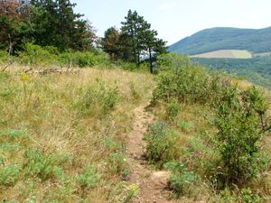
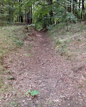
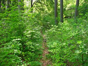
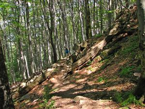
The following three images indicate radically different types of path - all which might currently be mapped using the same basic keys and values, so that they will normally be indistinguishable on any rendered map.
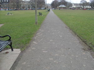 |
A formal flat urban path/footway |
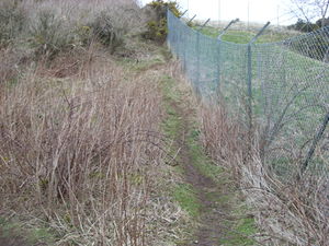 |
An urban informal worn narrow steep path |
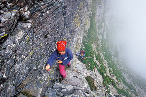 |
A marked mountain path with an obvious route but no 'path' actually visible |
Proposal to use 'path_defined_by'
It is proposed that we introduce a single new key "path_defined_by".
This should capture very basic information, as below, about what it is which defines the existence of a path. It is proposed that this would, in effect, indicate the relative status of paths, and would provide essential information about the general status of a path and possible or likely challenges in negotiating it.
Initial values for "path_defined_by" would be as in the table below, but additional values would likely emerge in the normal way if these were insufficient. It is proposed that where more than one value was appropriate mappers would be advised to choose only one - using the more commonly used value, or the one which most defined the path:
Applies to
Ways: highway=path or highway=footway
Rendering
It is likely that the differences between the status of paths could best be shown using wider/thinner lines, or longer/shorter dashes. Clearly the 'full_construction' and 'partial_construction' values indicate paths which tend to be more obvious and significant, 'wear_line' paths less significant, and 'animal_wear' paths the least significant.
Features/Pages affected
Ways: highway=path or highway=footway
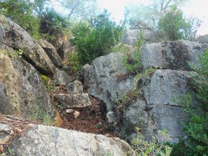
Additional example images
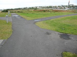
The proposed examples are very broad, so it may be helpful to add some additional images
External discussions
(none at the time of writing)
Comments
Please comment on the discussion page.
