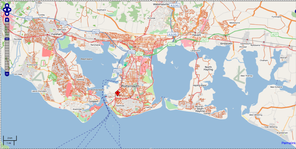
South Hampshire Mapping Party 09
South Hampshire is one of the best mapped areas of the UK, with good street coverage, largely traced from Yahoo! aerial imagery. However there is one big problem... many of the streets are unnamed! This is particularly the case in Portsmouth, Havant and Fareham. So... the idea of this weekend is to put this right!
Aims of the weekend
The aim of the weekend (March 14/15) will be to fill in as many street names as possible in Portsmouth, Havant and Fareham, also Waterlooville and Gosport (though street name coverage in those areas is rather better). Because it's a street name mapping party, GPS will not be essential... though do bring one if you have one, because, following one or two experiences at the south east London mapping party, aerial-imagery traced streets are not always accurate!
Where will we meet?
Meeting point is the Isambard Kingdom Brunel map, central Portsmouth, a Wetherspoons pub with (crucially) free wifi and within easy walking distance of Portsmouth and Southsea station. We'll meet there in the morning then go off mapping for the day, and meet back there in the early evening to review the day's activity and then find somewhere to eat. Because of the large area to be covered (some of the areas are 6 or 7 miles from the meeting venue, though readily accessible on public transport), I'm not anticipating a lunch-time meet. So the timetable is as follows:
- 09:45 - 10:30 meet at the Isambard Kingdom Brunel for planning
- 10:30 - 18:00 mapping, mappers doing nearby areas can make own lunch arrangements
- 18:00 - 19:00 meet back at Isambard Kingdom Brunel, review day, traces if applicable
- 19:00 onwards (Saturday only) find somewhere to eat
Any queries, please email me at nick_whitelegg at yahoo dot co dot uk.
Sign up
TimSC (Sat only, did additional tracing Sunday)
Smsm1 (Sat only, have Foundation GPS and Banner)
add your name here.
Before the party: 0800 14/03/09
(A quick screenshot of the NoName layer)
Results
Am waiting for new NoName layer to come out, but we managed to get quite a bit done. Many streets in northern and eastern Portsmouth were done, along with the Hardway area of Gosport. I believe large areas of Fareham were done too though the tagging is not in yet.
In Portsmouth itself these areas remain undone:
- The Paulsgrove Estate
- An area immediately north of Portsmouth city centre, south of the M275
- A new estate to the northeast of Portsea Island
- A few isolated roads in Southsea
