Southeast Alaska/Hydrology Import
Overview
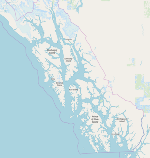
This page tracks and documents the effort to import hydrology for the Southeast Alaska area and update existing OSM data to inherit the superior geometry included in that dataset. Hydrology consists of coastlines, lakes, and streams.
Import Data
Data
Alaska Center for Conservation Science and University of Alaska Anchorage have made a great effort to clean-up and share the Alaska Hydrography Database. Three layers in this dataset are relevant to OpenStreetMap. Lake, Mean High-Water (MHW), and Stream would correspond to tag:natural=water;water=lake/pond, tag:natural=coastline, and tag:waterway=stream.
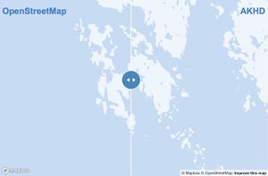
Here is a map comparing AK NHD with current OSM features. https://jfactory.xyz/maps/hydrography/ This map covers the islands closest to my location- Admiralty, Baranof, Chichagof, and Kuiu Islands.
License
This data is a product of the US Government and therefore in the public domain.
Process
Paul Norman's ogr2osm was used to convert the shapefile data into .osm data. JOSM was used to check this data for conflicts with current OpenStreetMap data. Many segments of coastline will need to inherit existing relationships and tags; preservation of ID history may be needed, too.
Contacts
- Joshua Houston: User page

