Uploads by Aharvey
Jump to navigation
Jump to search
This special page shows all uploaded files.
| Date | Name | Thumbnail | Size | Description | Versions |
|---|---|---|---|---|---|
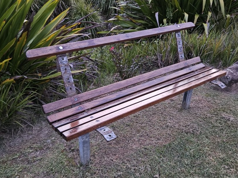
| 09:19, 14 March 2025 | Photo of a bench with damaged backrest.jpg (file) |  |
245 KB | crop photo | 2 |
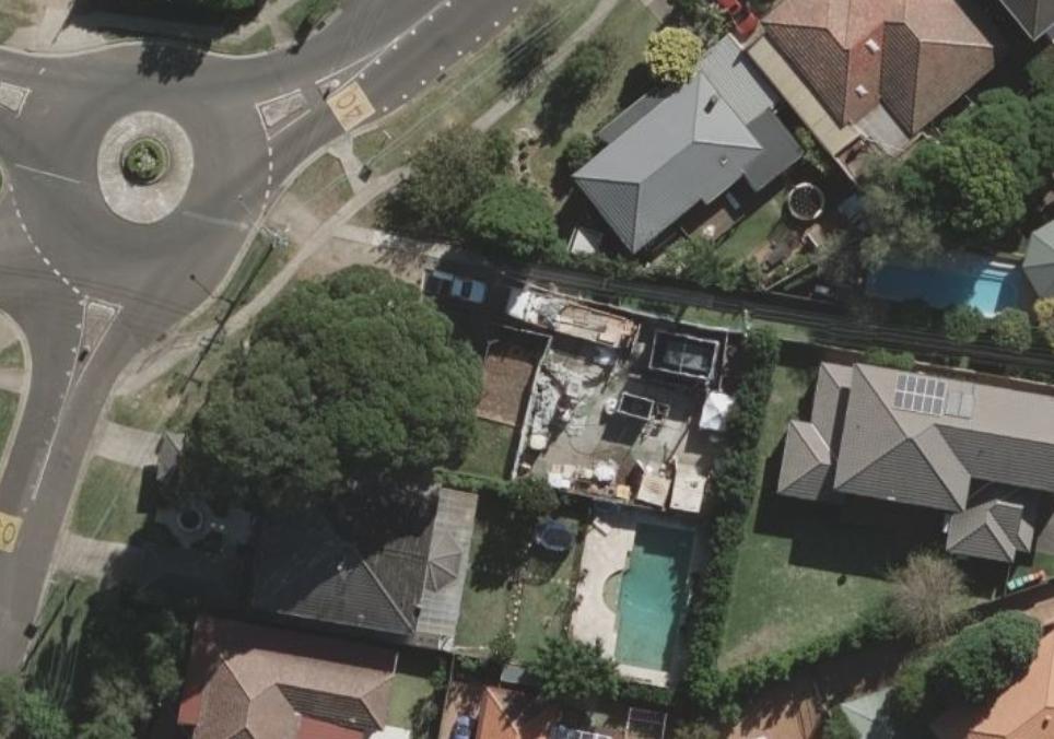
| 11:42, 2 March 2025 | SydneyWater NSOOS TambourineBayRoad Riverview Site Bing.jpg (file) |  |
86 KB | {{Information | description=Sydney Water NSOOS works site for tunnel access at 106 Tambourine Bay Road, Riverview. | source=Bing aerial imagery | date= | author=Microsoft Bing Maps | other_versions= }} | 1 |
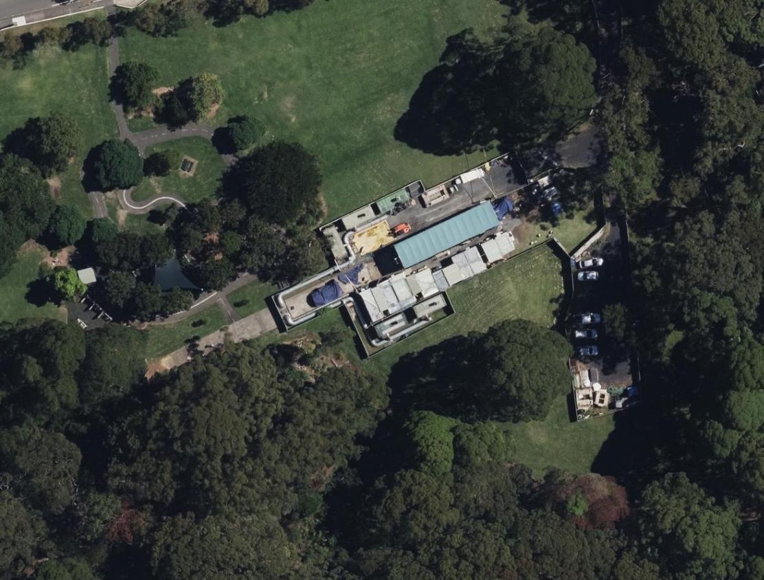
| 03:43, 2 March 2025 | SydneyWater NSOOS BrightmoreReserve Cremorne Site Feb2022.jpg (file) |  |
137 KB | {{Information | description=DCS NSW Aerial Imagery from 16th February 2022 showing the Sydney Water NSOOS works site for tunnel access. | source=https://www.spatial.nsw.gov.au/products_and_services/web_services | date=16/02/2022 | author=State of New South Wales (Spatial Services, a business unit of the Department of Customer Service NSW) | other_versions= }} | 1 |
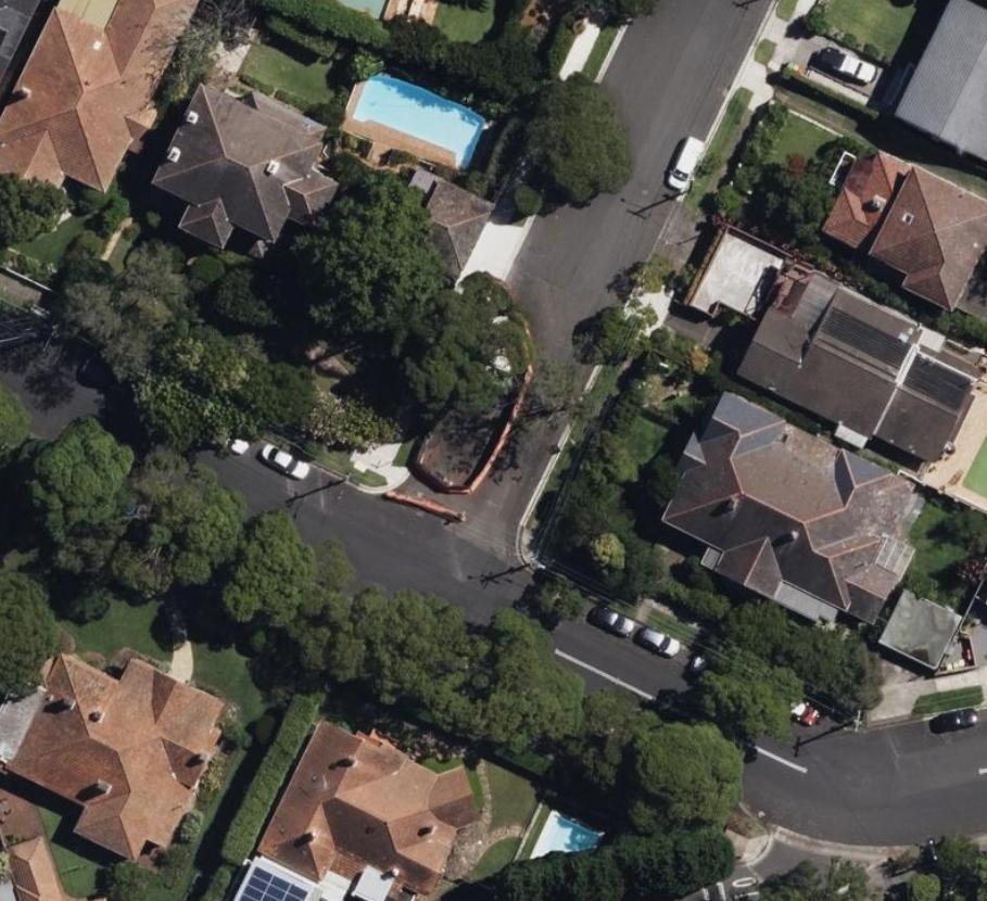
| 03:26, 2 March 2025 | SydneyWater NSOOS CarlyleStreet Wollstonecraft Site Feb2022.jpg (file) |  |
120 KB | {{Information | description=DCS NSW Aerial Imagery from 16th February 2022 showing the Sydney Water NSOOS works site for silt and debris removal. | source=https://www.spatial.nsw.gov.au/products_and_services/web_services | date=16/02/2022 | author=State of New South Wales (Spatial Services, a business unit of the Department of Customer Service NSW) | other_versions= }} {{CC-BY-4.0|State of New South Wales (Spatial Services, a business unit of the Department of Customer Service NSW)}} | 1 |
| 10:46, 19 February 2025 | MapillaryPhoto 358172743986944.jpeg (file) |  |
171 KB | markup footpath | 2 |
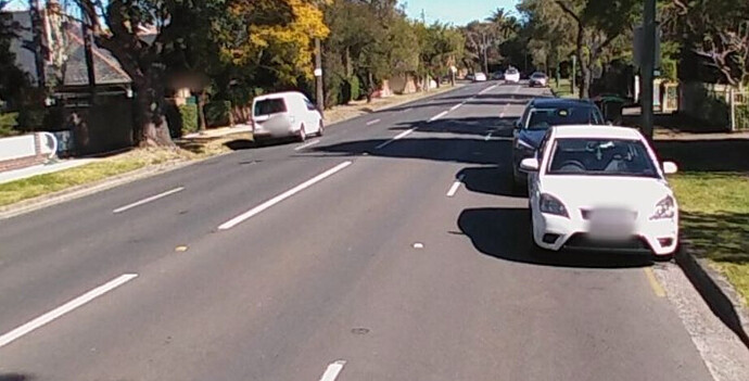
| 11:32, 14 February 2025 | Two lane road with parking in the shoulder on Hampden Road Atarmon.jpeg (file) |  |
55 KB | {{Information | description=A two lane road with parking in the shoulder outside the traffic lanes | source=https://www.mapillary.com/app/?pKey=835720643713059 | date= | author= | other_versions= }} | 1 |
| 11:27, 14 February 2025 | Parking within a lane on Mowbray Road Chatswood.jpeg (file) |  |
73 KB | {{Information | description=A 4 lane road where parking is permitted in the outer two lanes. | source=https://www.mapillary.com/app/?pKey=785673438819511 | date= | author=Andrew Harvey | other_versions= }} | 1 |
| 21:47, 23 January 2025 | 73 Billabong Parade Chisolm NSW AU.png (file) |  |
815 KB | {{Information | description=Screenshot of iD at 73 Billabong Parade Chisolm NSW AU showing a property parcel overlapping admin boundaries leading to an ambiguous suburb address. | source=OpenStreetMap data presented within the iD editor, with ESRI World Imagery in the background. | date=2025-01-24 | author=OpenStreetMap Contributors, Esri | other_versions= }} | 1 |
| 03:35, 16 January 2025 | ARV OSM CCBY permission waiver.pdf (file) |  |
81 KB | {{Information | description=OSMF CC BY 4.0 waiver completed by Alpine Resorts Victoria | source=Alpine Resorts Victoria | date=2025-01-16 | author=Alpine Resorts Victoria | other_versions= }} | 1 |
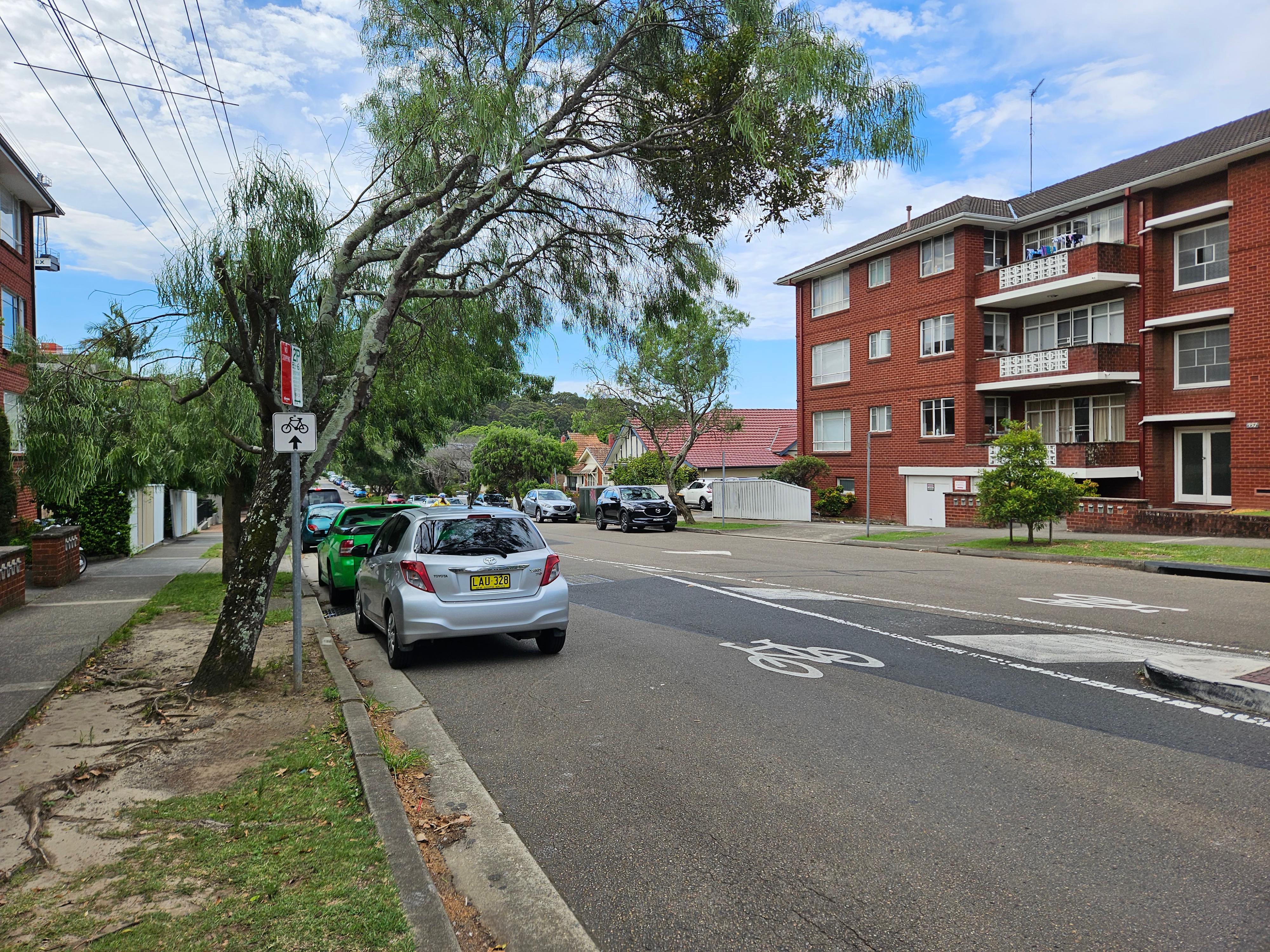
| 00:39, 15 January 2025 | Havilah Street bicycle network signage.jpg (file) |  |
2.36 MB | 1 | |
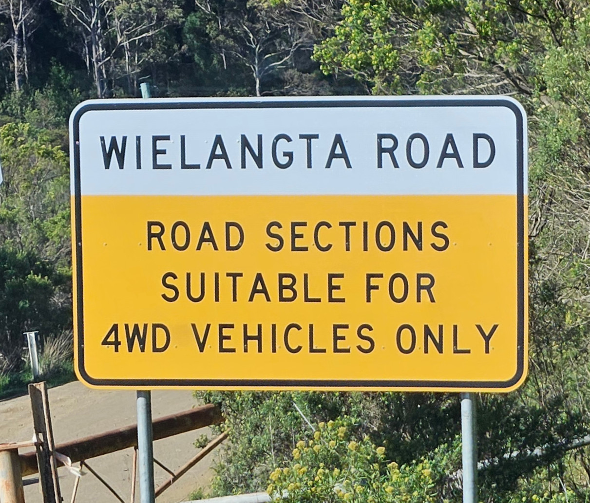
| 01:31, 19 November 2024 | WielangtaRoad RoadSectionsSuitableFor4WDVehiclesOnly.jpg (file) |  |
405 KB | {{Information | description=Road sign at Wielangta Road indicating road sections suitable for 4WD vehicles only | source=Own photo | date=2024-11-10 | author=Andrew Harvey | other_versions= }} | 1 |
| 03:53, 19 September 2024 | A collection of single object changesets.png (file) |  |
68 KB | {{Information | description=This is an example of a user creating multiple houses in the same area within one editing session but with one object per changeset, rather than grouping those changes together into a single changeset. | source=OpenStreetMap | date=2024-09-19 | author=OpenStreetMap contributors | other_versions= }} | 1 |
| 10:47, 3 May 2023 | Land Tasmania Signed Waivers.pdf (file) |  |
1.33 MB | {{Information | description=CC BY Waivers for Land Tasmania data | source= | date= | author= | other_versions= }} | 1 |
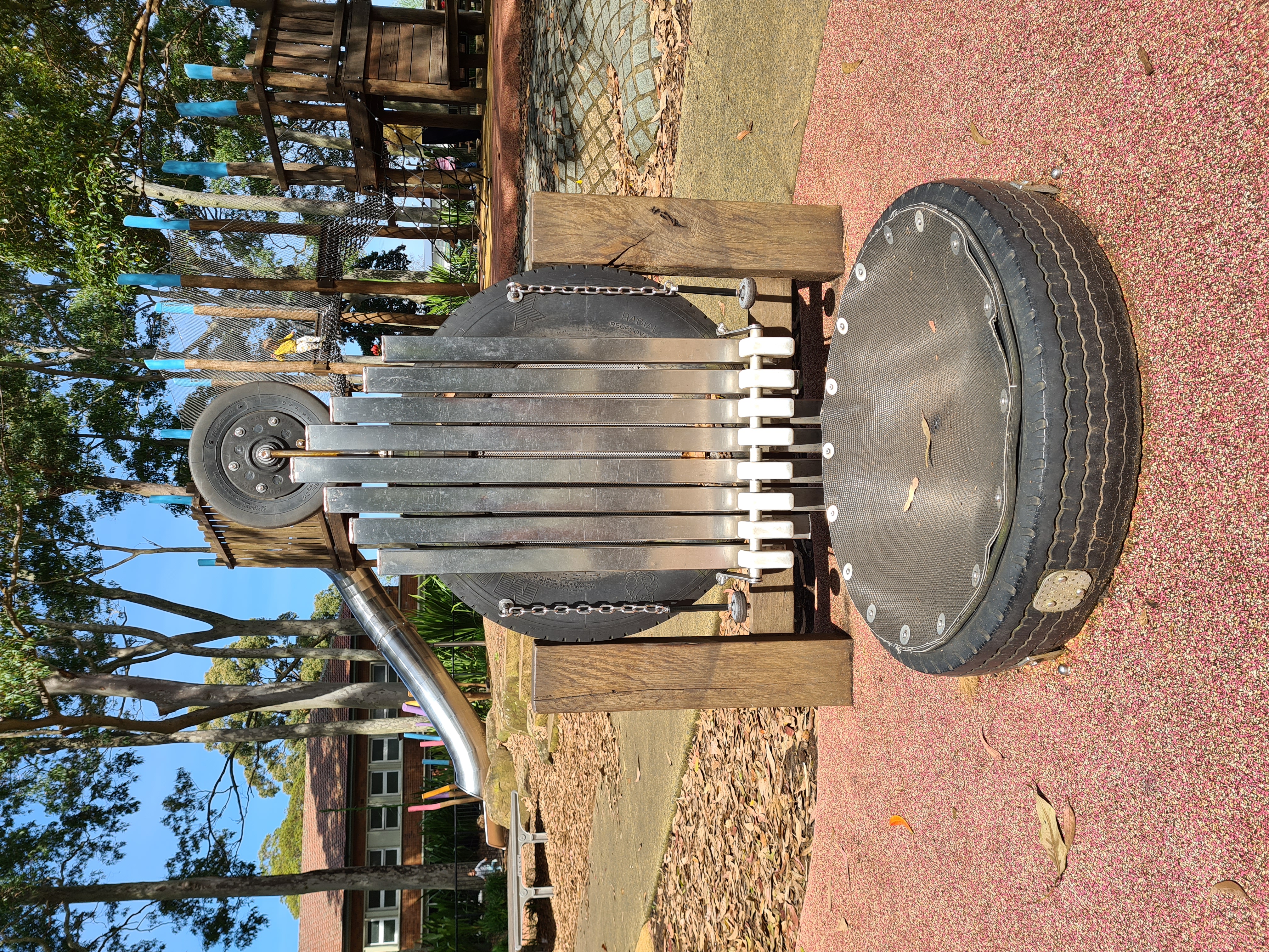
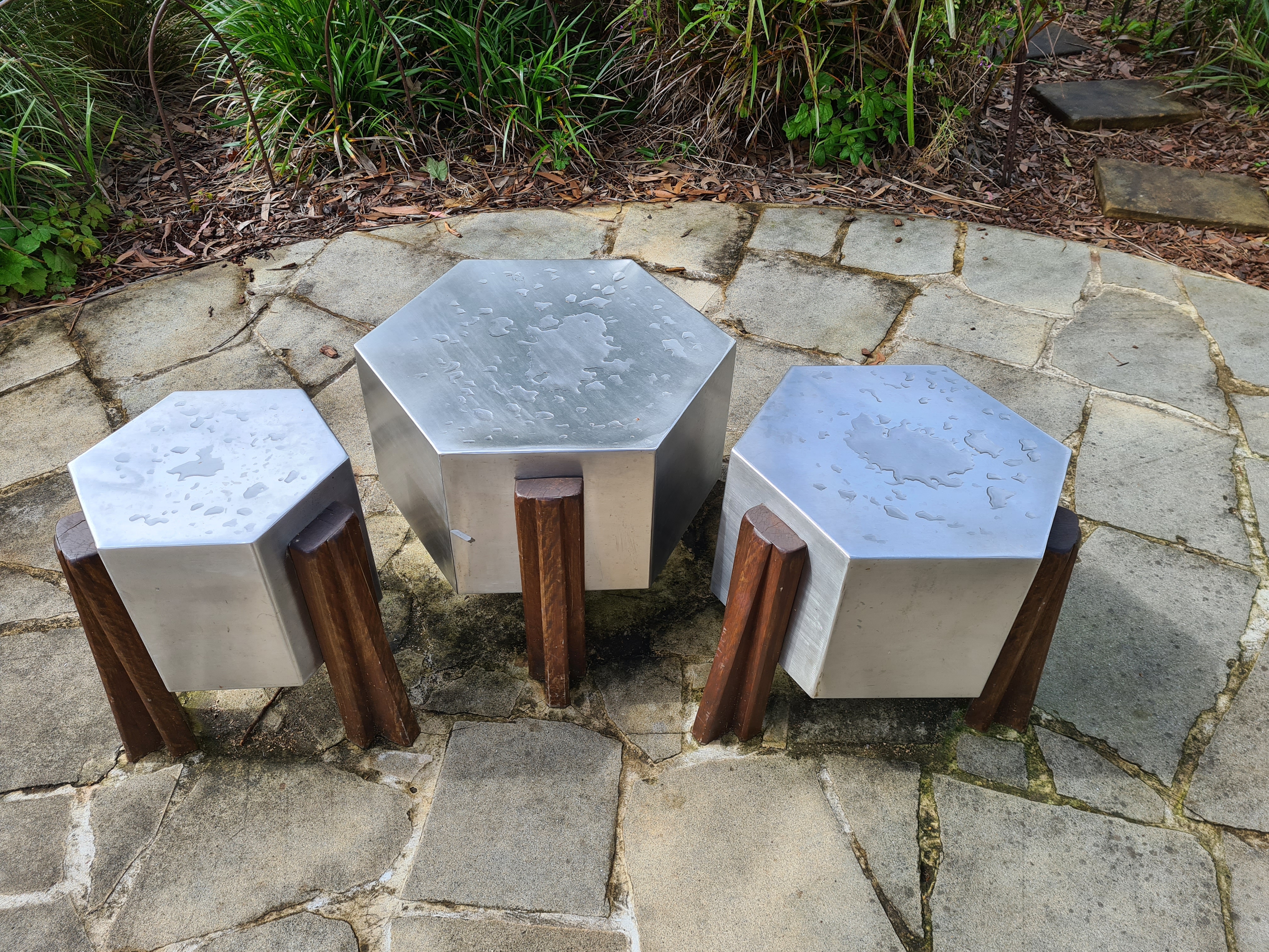
| 03:54, 21 October 2022 | Play xylophone in a playground.jpeg (file) |  |
6.68 MB | {{Information | description= | source= | date= | author=Andrew Harvey | permission=CC0 | other_versions= }} | 1 |
| 00:26, 17 October 2022 | Musical drums in a playground.jpeg (file) |  |
5.19 MB | {{Information | description=Musical drums in a playground | source= | date= | author=Andrew Harvey | permission=CC0 | other_versions= }} | 1 |
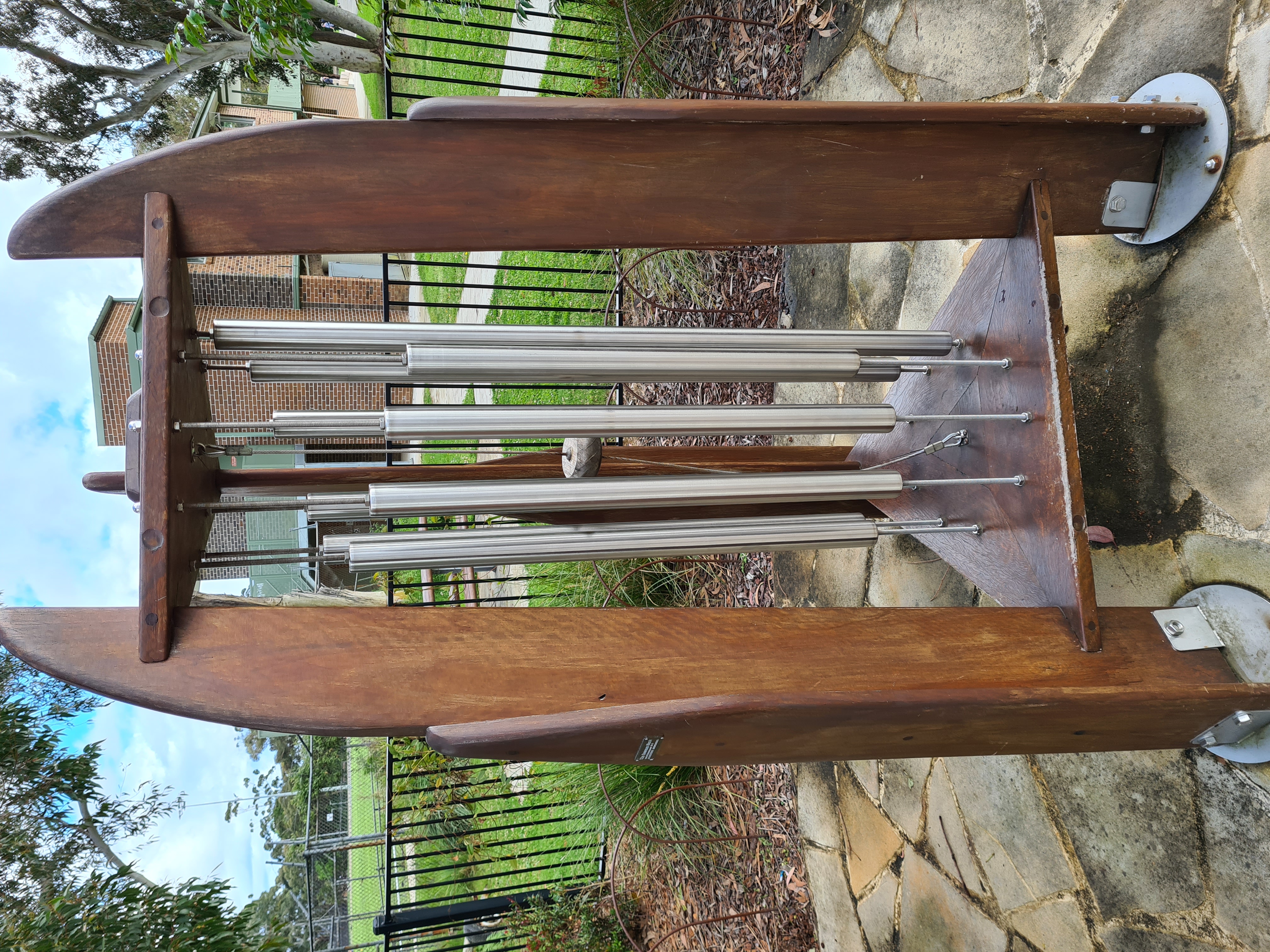
| 00:22, 17 October 2022 | Playground chimes.jpeg (file) |  |
4.4 MB | {{Information | description=Musical chimes in a playground for children to play | source= | date= | author=Andrew Harvey | permission=CC0 | other_versions= }} | 1 |
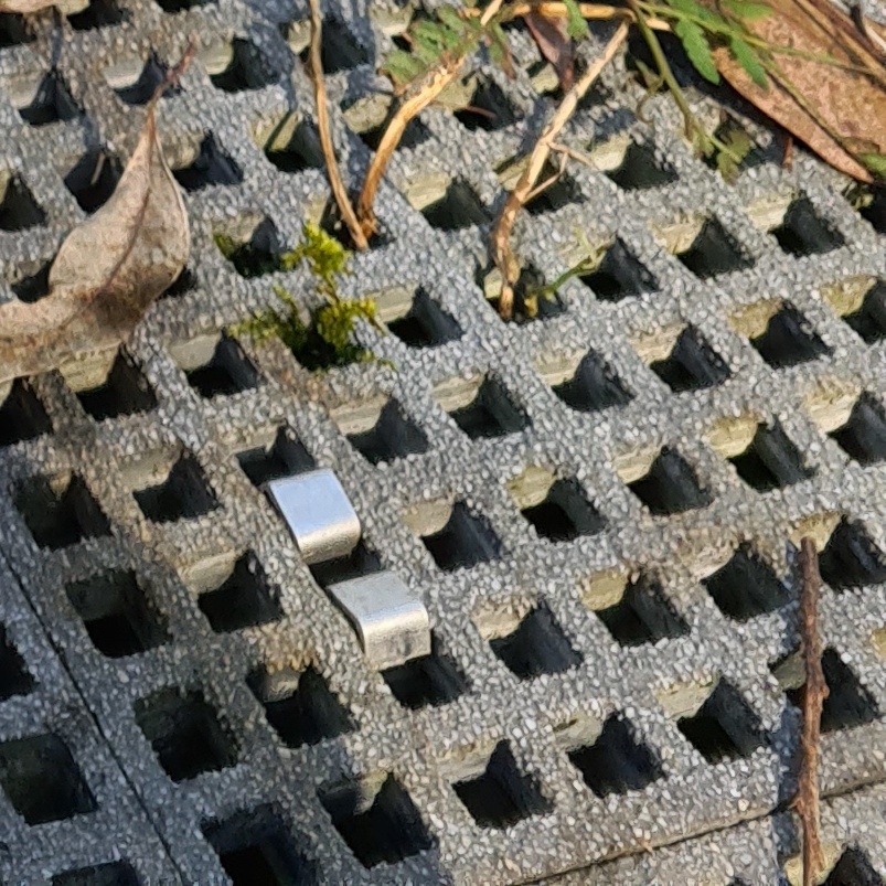
| 00:15, 18 July 2022 | Fibre reinforced polymer grate suface.jpg (file) |  |
281 KB | 1 | |
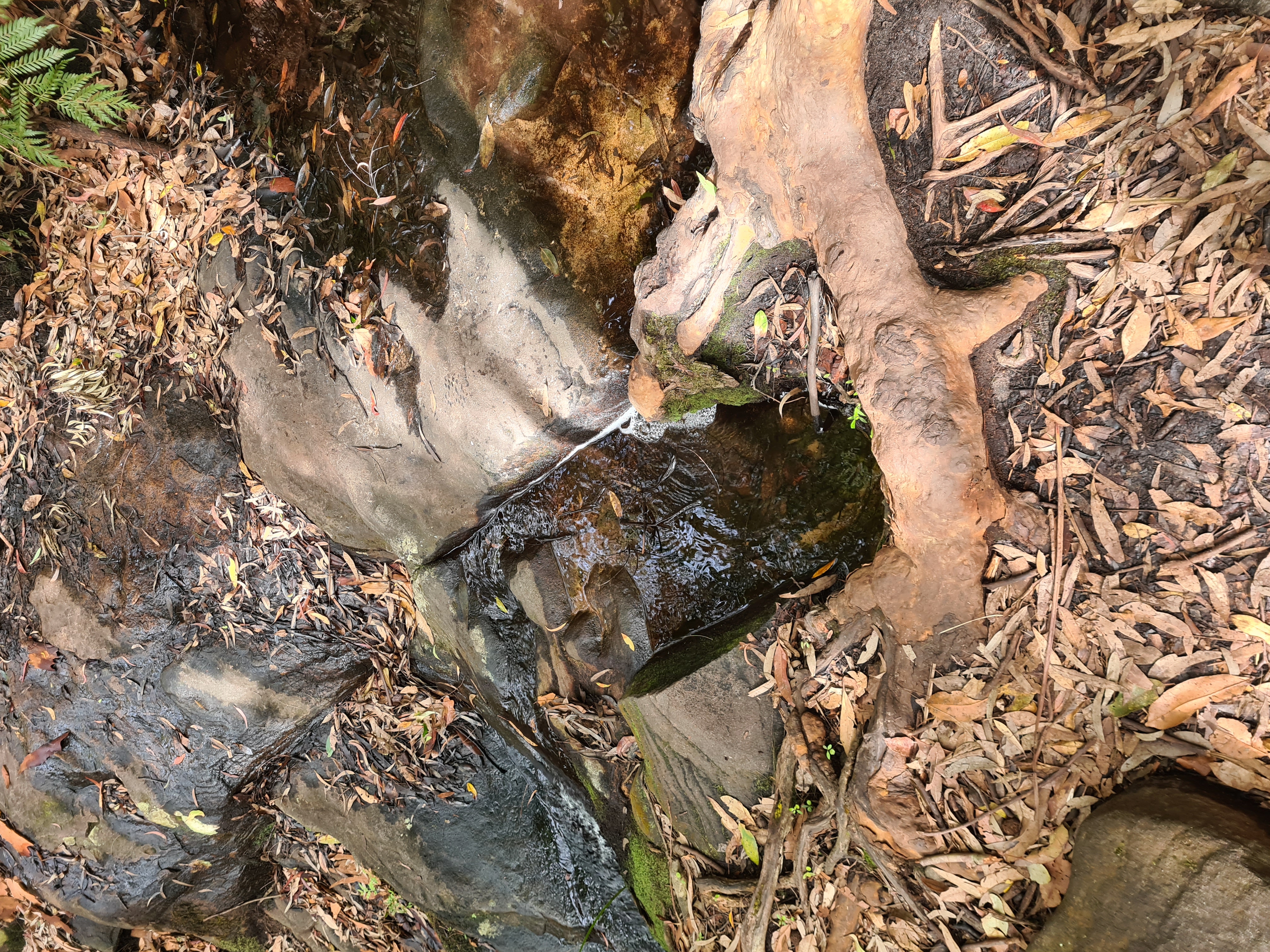
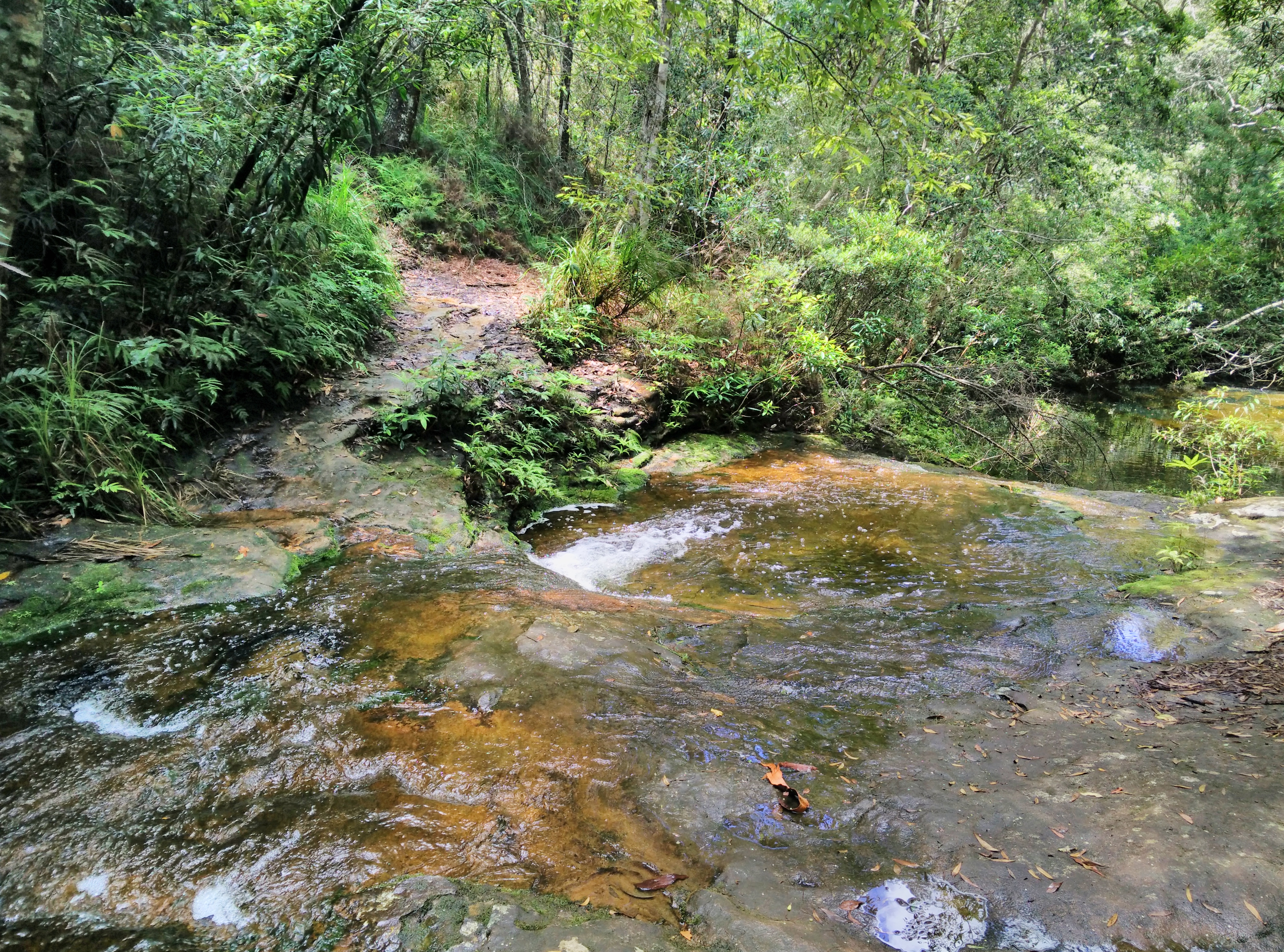
| 05:45, 13 February 2022 | Walking track passing a creek suitable to step over.jpeg (file) |  |
5.5 MB | Walking track passing a creek suitable to step over | 1 |
| 04:30, 27 January 2022 | Sample River Crossing Icons.svg (file) | 28 KB | Derived from Public Domain SJJB Icon assets | 1 | |
| 04:02, 27 January 2022 | Wet soles creek crossing.jpg (file) |  |
6.39 MB | 1 | |
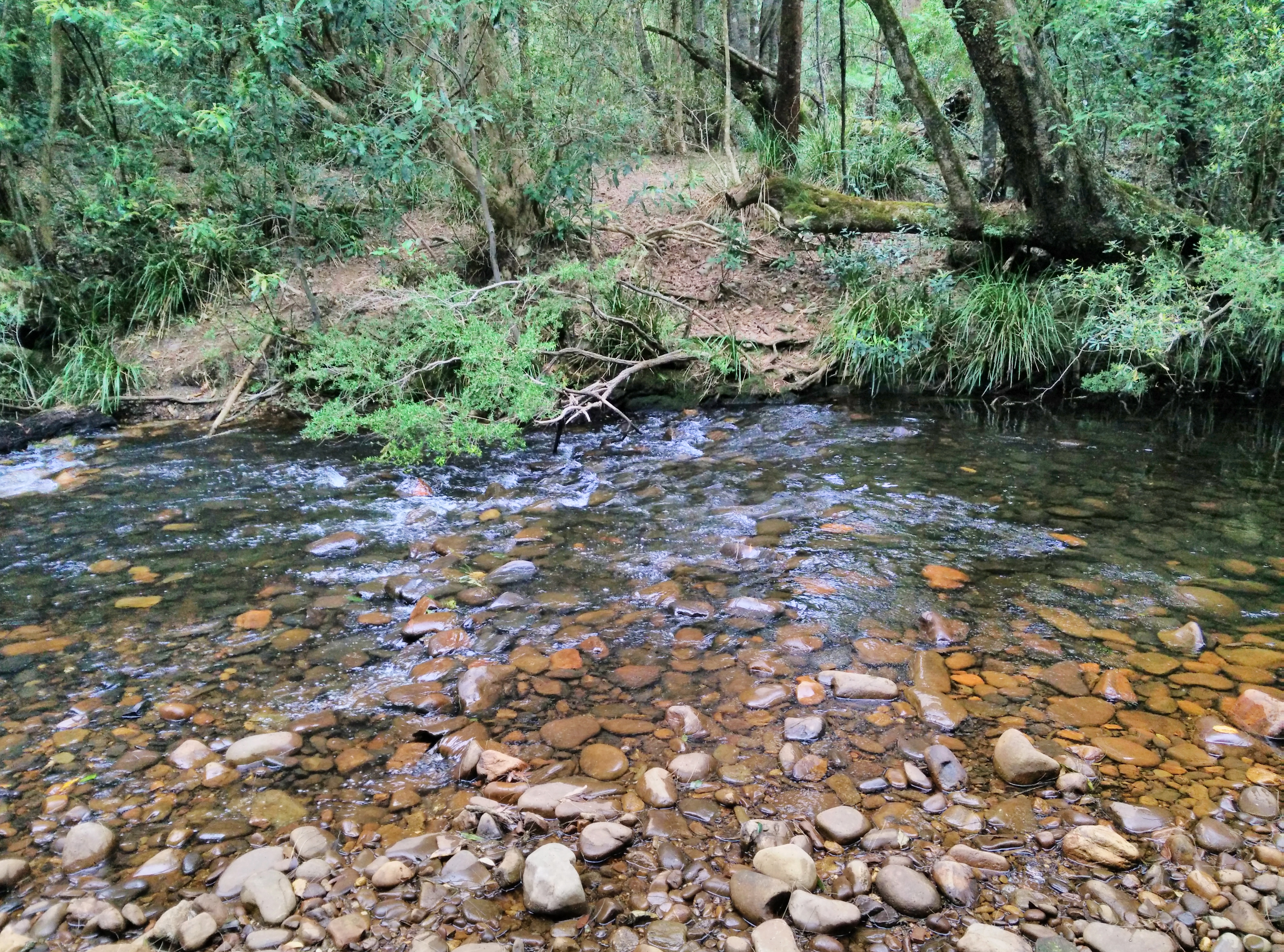
| 23:17, 26 January 2022 | Yadboro River crossing at The Castle Walking Track.jpg (file) |  |
5.42 MB | 1 | |
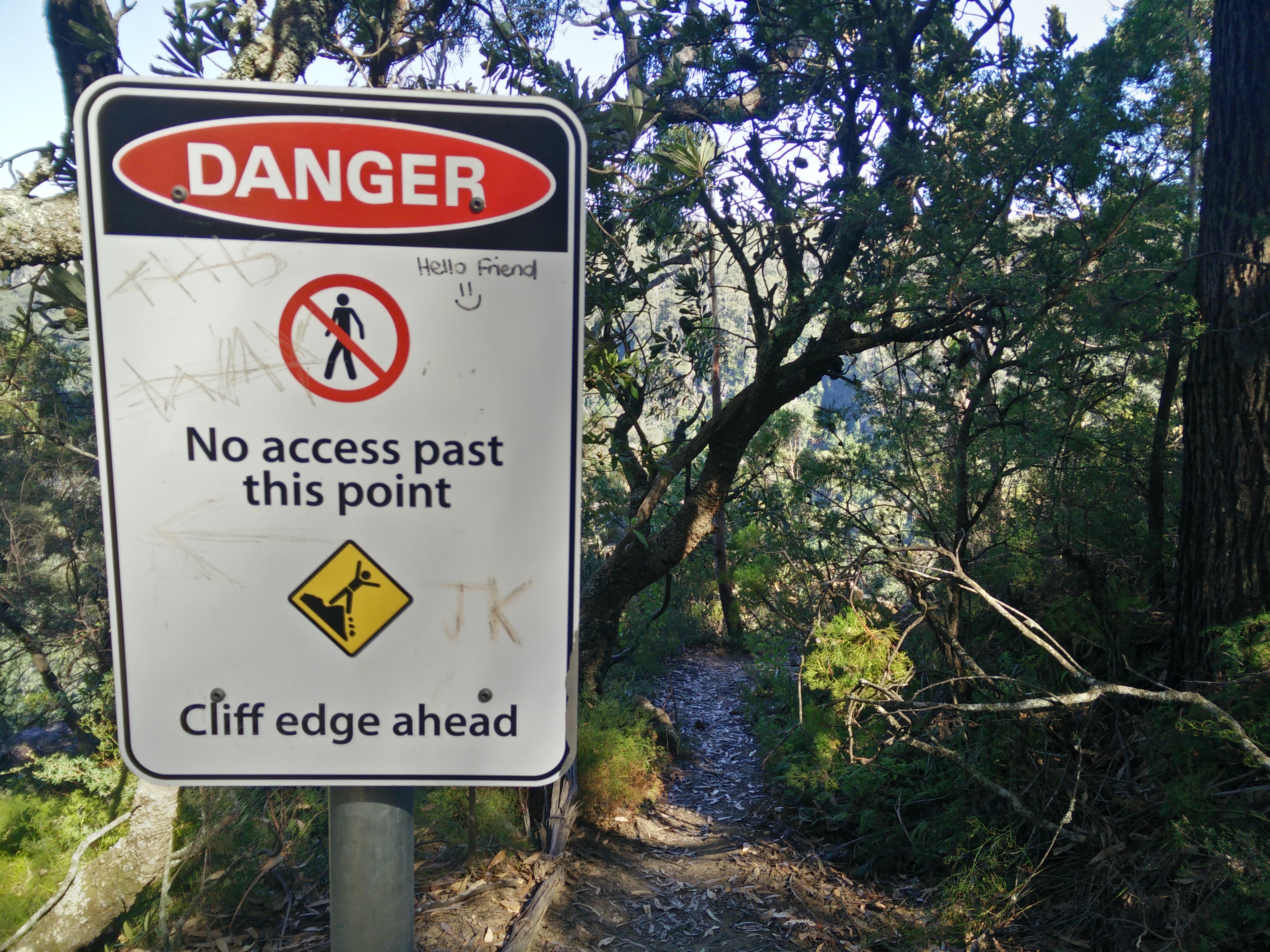
| 02:57, 25 January 2022 | Closed walking track.jpg (file) |  |
4.39 MB | 1 | |
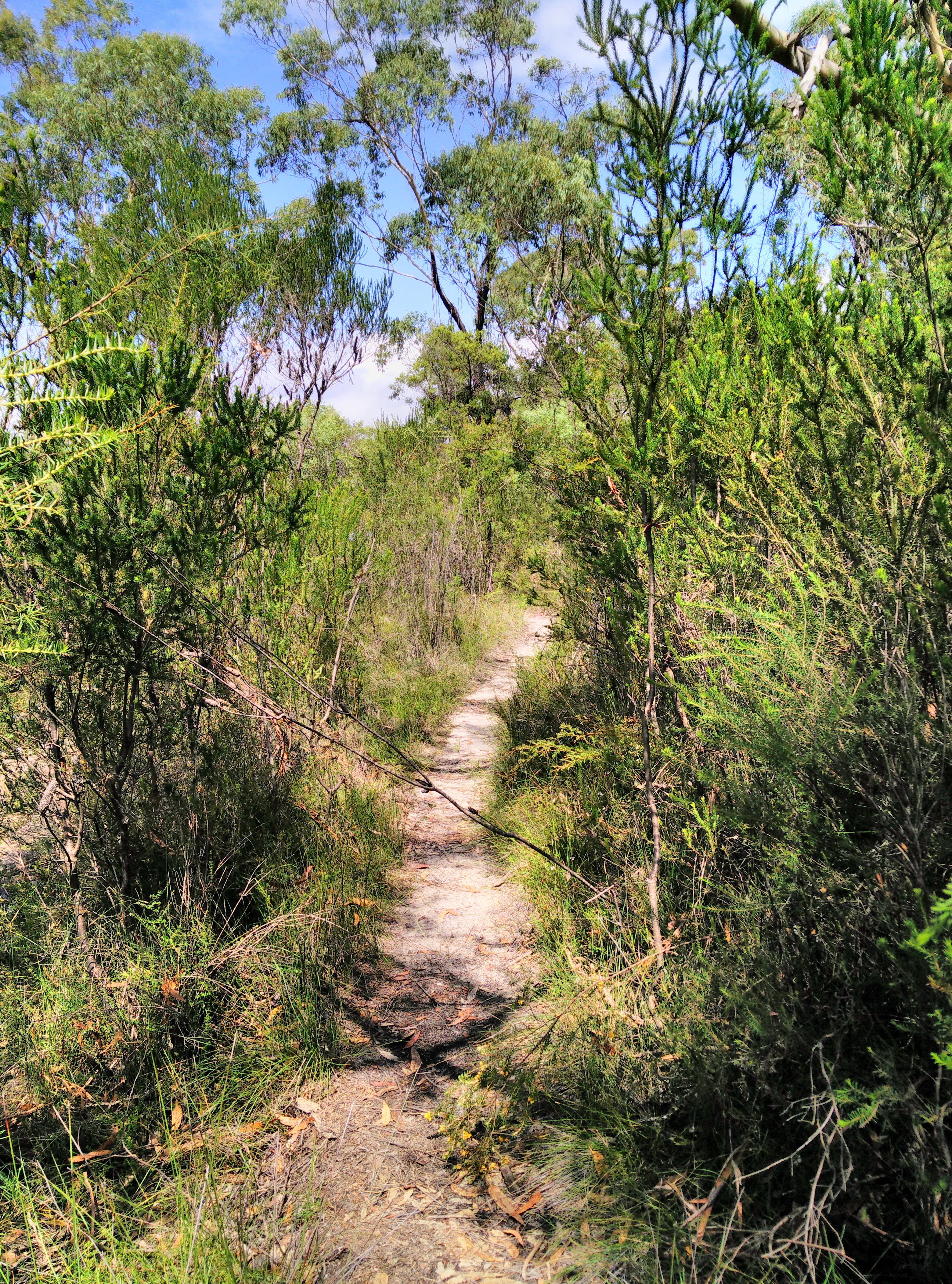
| 02:53, 25 January 2022 | Worn walking track without evidence of track construction.jpg (file) |  |
8.39 MB | 1 | |
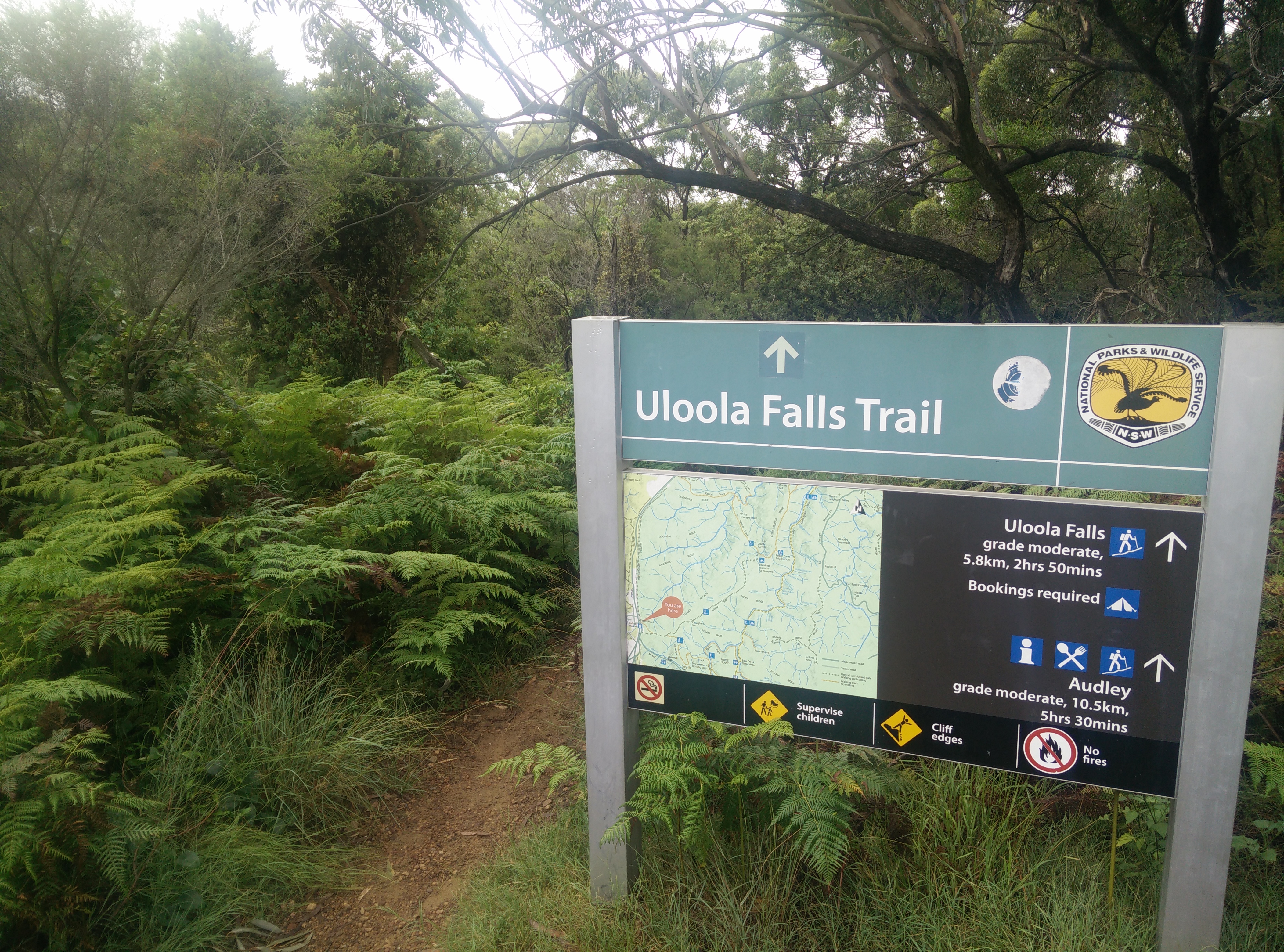
| 02:49, 25 January 2022 | Uloola Falls Trailhead Sign.jpg (file) |  |
5.3 MB | 1 | |
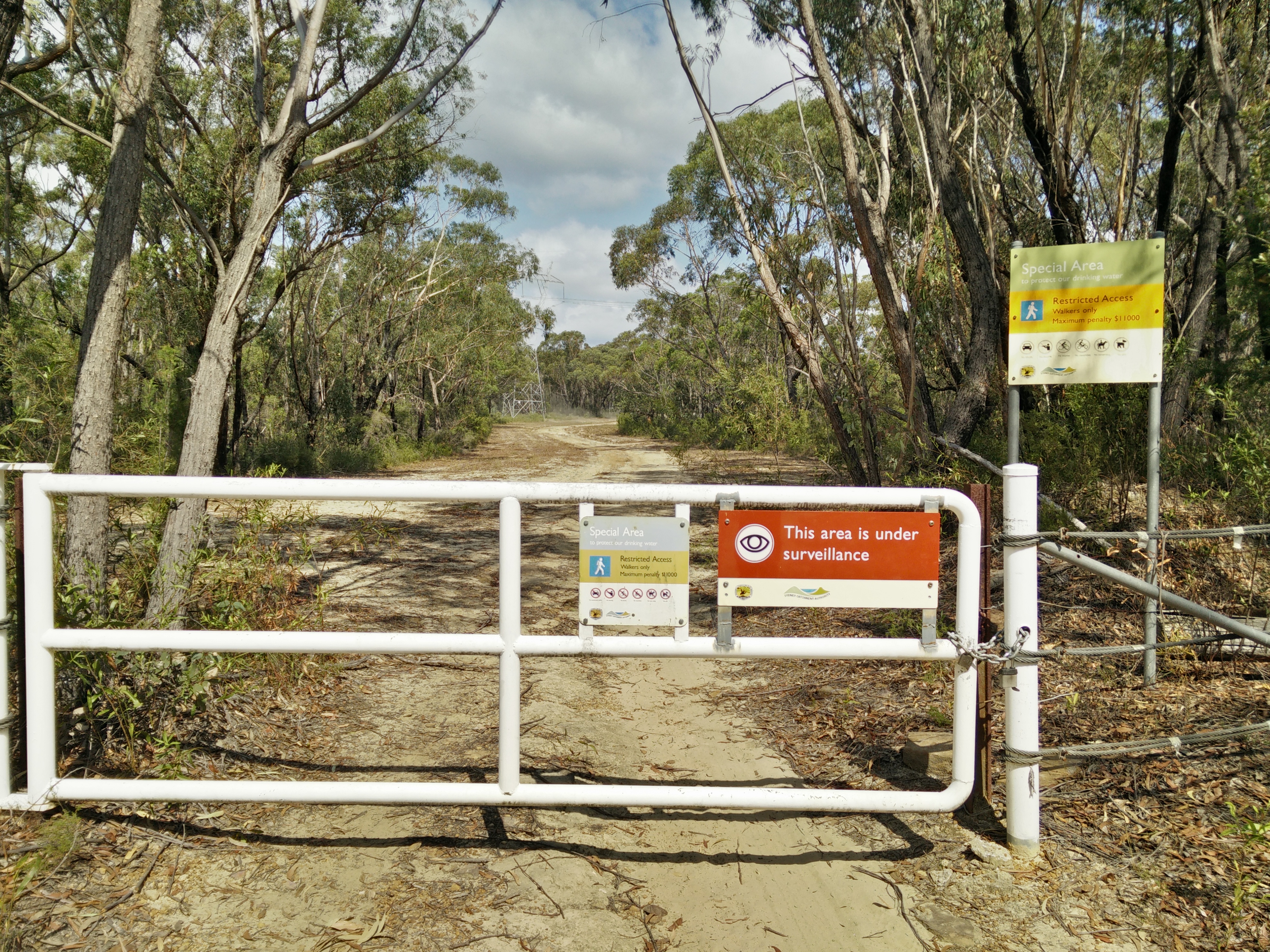
| 02:44, 25 January 2022 | Maintenance track accessible by foot.jpeg (file) |  |
5.67 MB | A maintenance track for use by authorised vehicles only, with walking permitted | 1 |
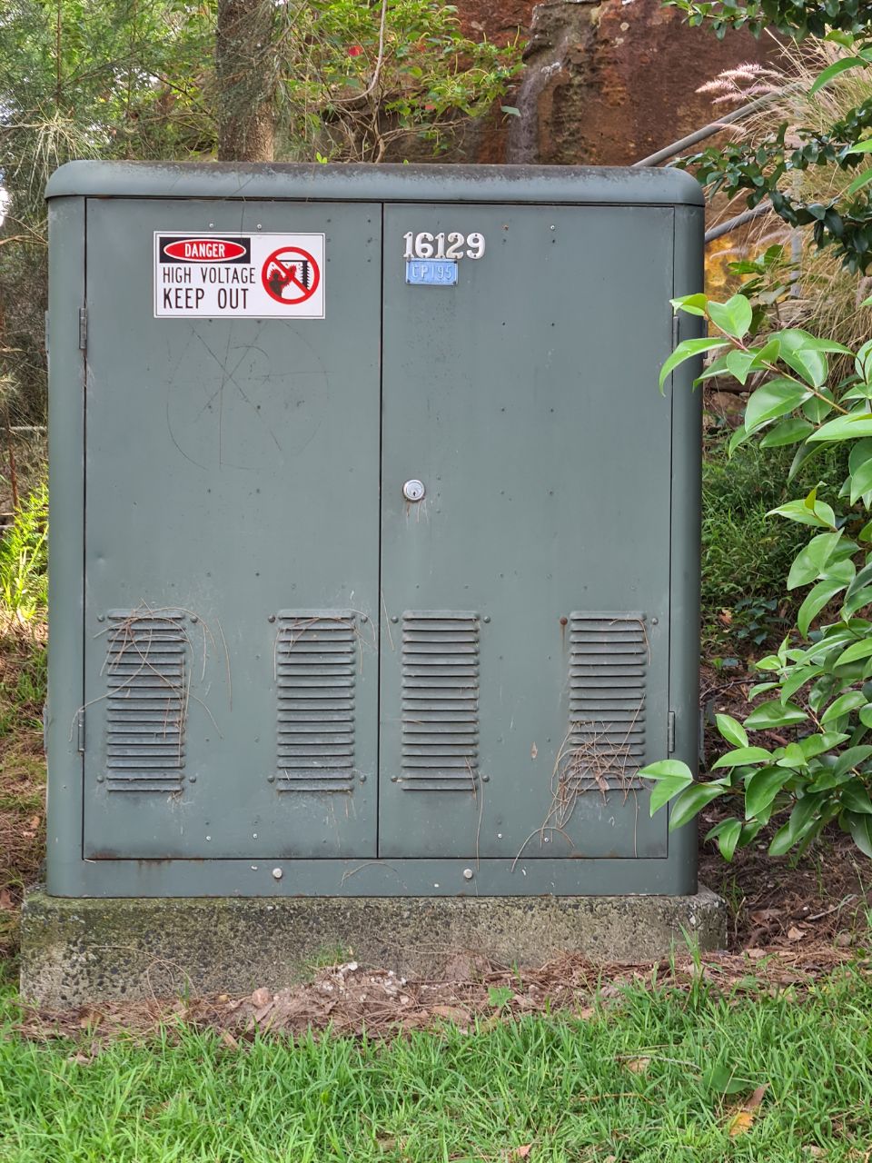
| 01:27, 26 December 2021 | Australian Green Transformer Box Street Cabinet.jpeg (file) | 281 KB | Australian Green Transformer Box Street Cabinet | 1 | |
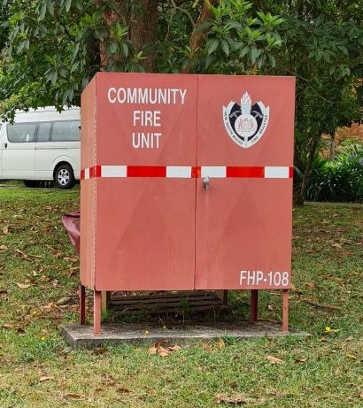
| 01:12, 26 December 2021 | NSW Community Fire Unit Fixed Container.jpeg (file) |  |
84 KB | Australian NSW Community Fire Unit Fixed Container | 1 |
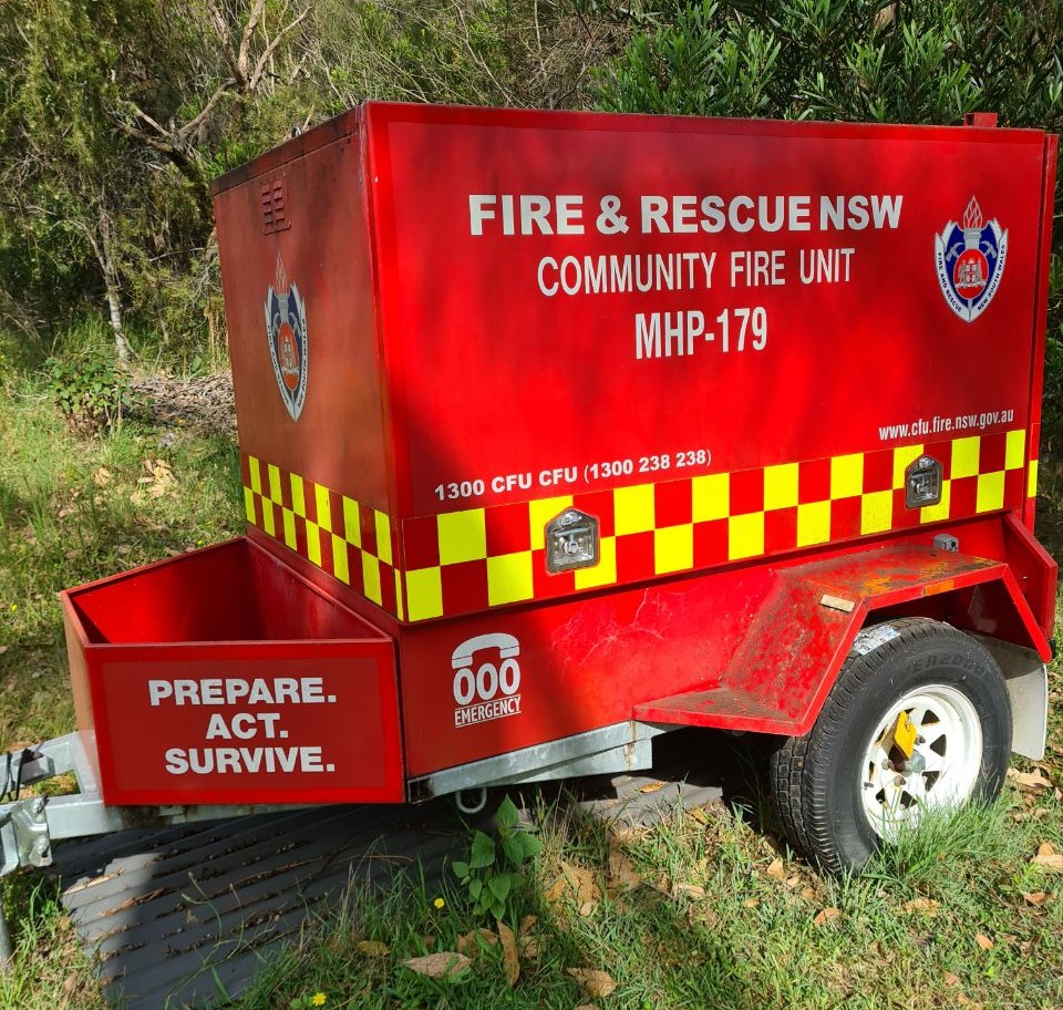
| 23:57, 25 December 2021 | Fire and Rescue NSW Community Fire Unit Trailer.jpeg (file) |  |
324 KB | An Australian Fire & Rescue NSW Community Fire Unit Trailer | 1 |
| 01:00, 19 October 2021 | Geoscape OpenStreetMap waiver 2021 Signed.pdf (file) |  |
41 KB | Geoscape Administrative Boundaries for Australia CC BY waiver | 1 |
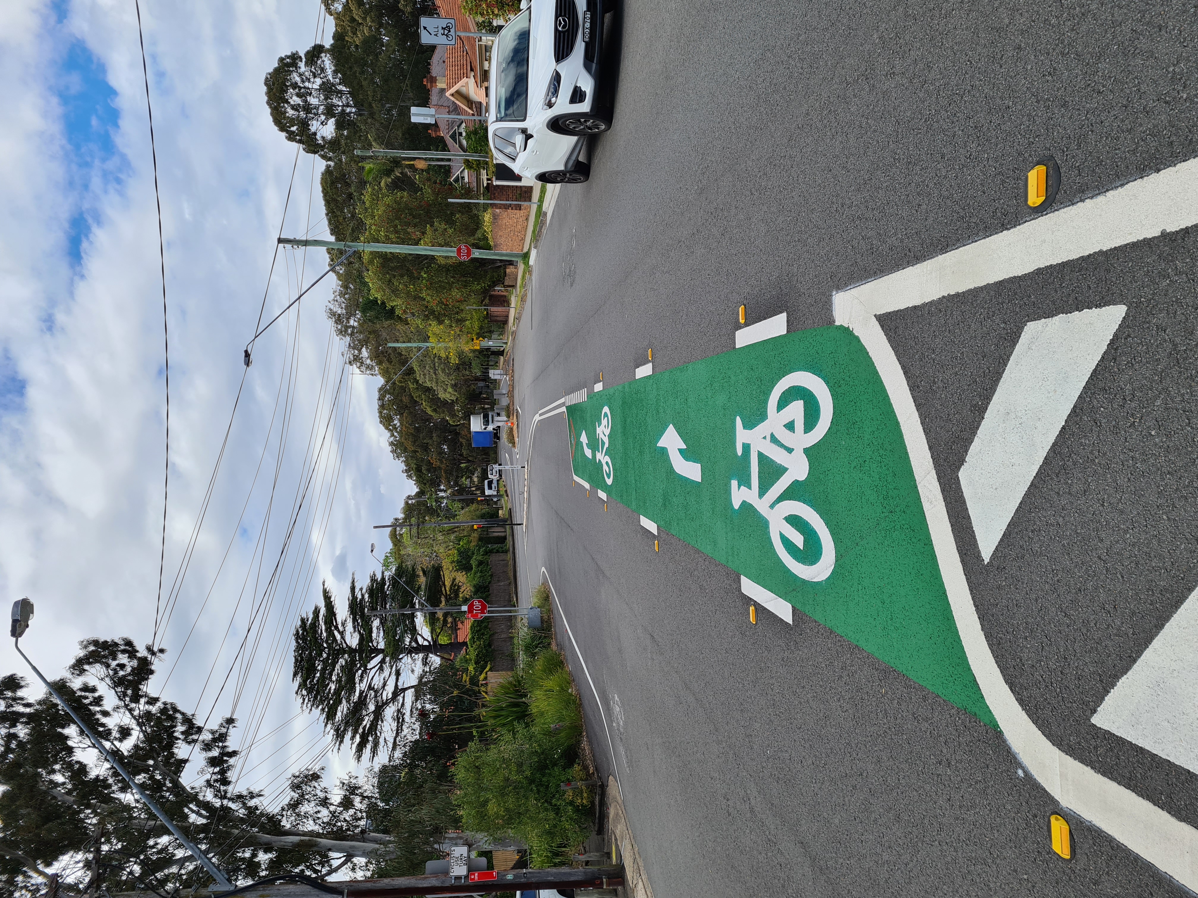
| 02:23, 21 September 2021 | Australian bicycle turn lane in the middle of a road.jpg (file) |  |
4.63 MB | 1 | |
| 00:06, 26 July 2021 | SpatialServices NSW OSM Waiver2 completed.pdf (file) |  |
147 KB | 1 | |
| 07:05, 5 November 2020 | AADC CC-BY Permission JK signed.pdf (file) |  |
184 KB | Waiver originally sourced by https://wiki.openstreetmap.org/wiki/User:Breno-au | 1 |
| 04:09, 28 October 2020 | VPCM OpenStreetMap Approval.pdf (file) |  |
155 KB | Victorian Ports Corporation (Melbourne) (VPCM) CC BY waiver | 1 |
| 04:56, 27 October 2020 | OpenStreetMap Waiver 20201027 NEA AWsigned.pdf (file) |  |
347 KB | Nearmap OSM waiver for SSSI Mapathon | 1 |
| 11:09, 15 October 2020 | SpatialServices NSW OSM Waiver completed.pdf (file) |  |
124 KB | 1 | |
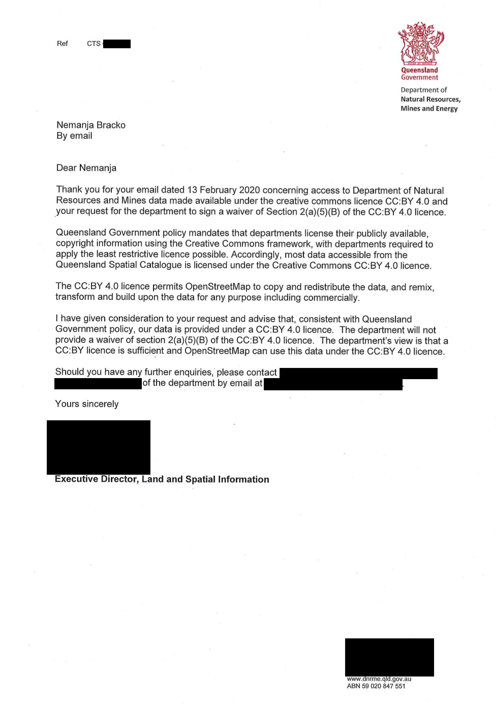
| 04:48, 21 July 2020 | QLD DNRM CCBY letter.png (file) |  |
333 KB | Originally from https://github.com/microsoft/Open-Maps/issues/49#issue-656373903, a letter from Dept of Natural Resources Mines and Energy, Queensland clarifying their stance on use of their CC BY 4.0 licensed data in OSM. Feedback from LWG was along the lines of this letter is the equivalent of a waiver and it demonstrates that: [Queensland Goverenment] do not believe there is incompatibility between CC-BY 4.0 and ODbL, and thus their data can be used for OSM. CC-BY is a contract between... | 1 |
| 10:12, 26 March 2020 | Beyondtracks-map.png (file) |  |
764 KB | 1 | |
| 03:53, 21 February 2020 | OpenStreetMap Waiver 21022020 NEA.pdf (file) |  |
230 KB | Permission to use Nearmap imagery during the SSSI Map-a-thon on the 9th of February 2020. | 1 |
| 03:39, 7 February 2020 | PlanetLabs SSFO-645-4 20020617490.pdf (file) |  |
71 KB | Planet Labs CC BY waiver for Planet Labs Weekly Basemaps from December 1, 2019 to January 31, 2020 of Australian fires. | 1 |
| 06:06, 5 February 2020 | OSM waiver AirborneResearchSouthAustralia.pdf (file) |  |
47 KB | 1 | |
| 05:31, 30 January 2020 | TfNSW OSM CCBY Signed Waiver.pdf (file) |  |
64 KB | 1 | |
| 22:01, 22 January 2020 | EnvironmentCanterbury AerialimagerywaiversfortracingforOpenStreetMap.pdf (file) |  |
70 KB | 1 | |
| 00:44, 4 December 2019 | AU Noosa CCBY Waiver.pdf (file) |  |
136 KB | Noosa, Australia completed CC BY waiver | 1 |
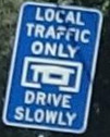
| 08:19, 11 November 2019 | AU-NSW-LocalTrafficOnly.jpg (file) |  |
7 KB | AU, NSW, Local Traffic Only Sign https://www.mapillary.com/map/im/FkY8gmlGX2NmhUARyveMQw | 1 |
| 08:03, 28 September 2019 | Maxspeed-wet.png (file) |  |
117 KB | Australia, New South Wales speed limit road sign with wet and dry conditional speeds. | 1 |
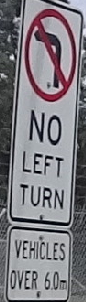
| 08:39, 23 September 2019 | AU NSW no left turn conditional length.png (file) |  |
43 KB | Australia, NSW, no left turn for vehicles over 6m | 1 |
| 01:13, 31 July 2019 | CityOfLaunceston CCBY+ImageryWaiver.pdf (file) |  |
329 KB | City of Launceston, Tasmania, Australia Aerial imagery tracing waiver, CC BY open data waiver. http://launceston.maps.arcgis.com/home/index.html | 1 |
| 12:03, 29 November 2018 | City of Melbourne OSMF CCBY waiver.pdf (file) |  |
142 KB | 1 | |
| 01:55, 15 November 2018 | AU QLD TMR 2018-11-13 OSM Permission.pdf (file) |  |
66 KB | CC BY waiver for AU-QLD, Transport and Main Roads, State controlled roads survey centerline | 1 |
| 00:23, 10 September 2018 | BCC OSM Waiver - Signed 30Aug2018.pdf (file) |  |
68 KB | Brisbane City Council open data https://www.data.brisbane.qld.gov.au/data/group/assets CC BY waiver. | 1 |