Uploads by Bass
Jump to navigation
Jump to search
This special page shows all uploaded files.
| Date | Name | Thumbnail | Size | Description | Versions |
|---|---|---|---|---|---|
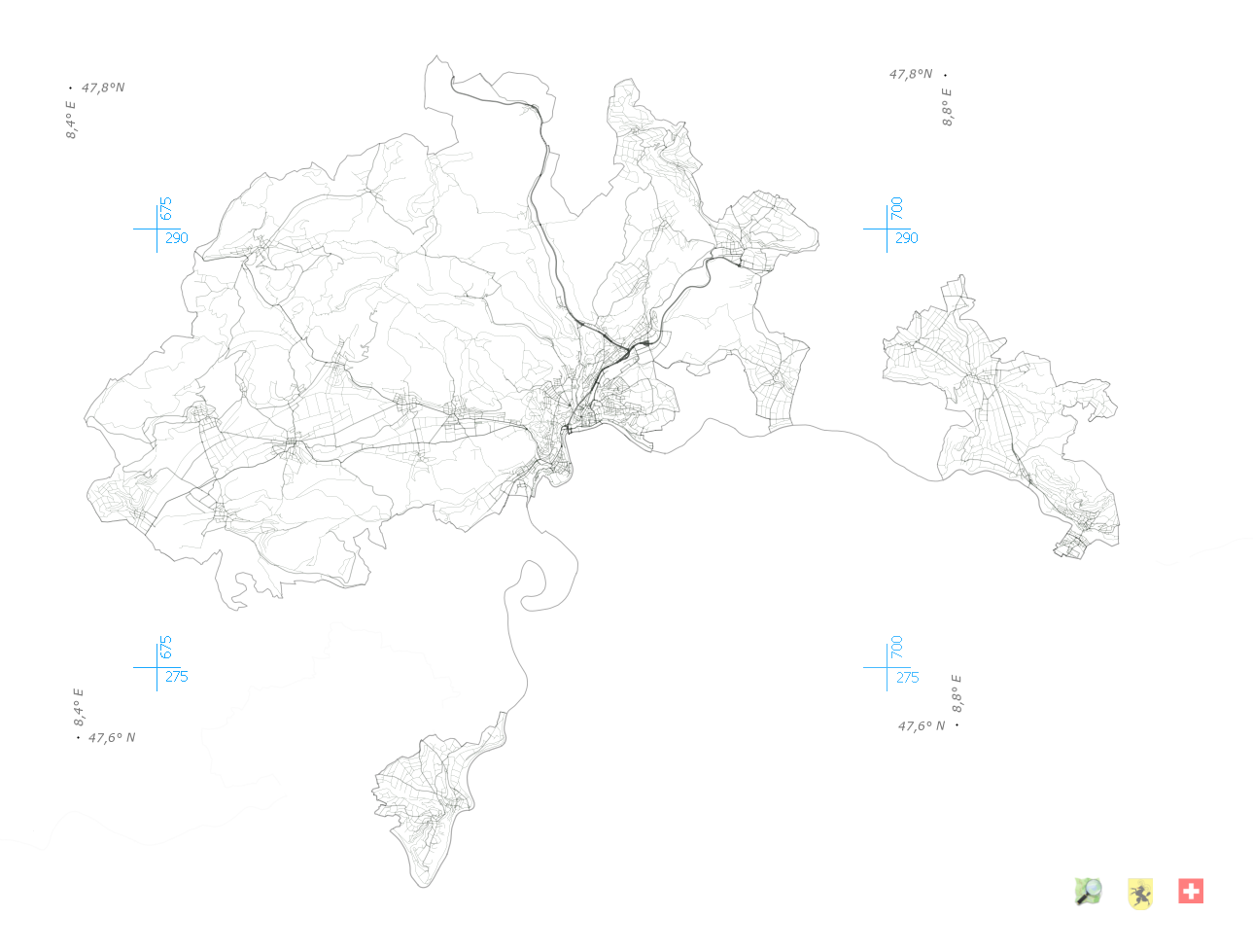
| 13:13, 12 September 2011 | Schaffhausen Strassenabdeckung.png (file) |  |
348 KB | 2 | |
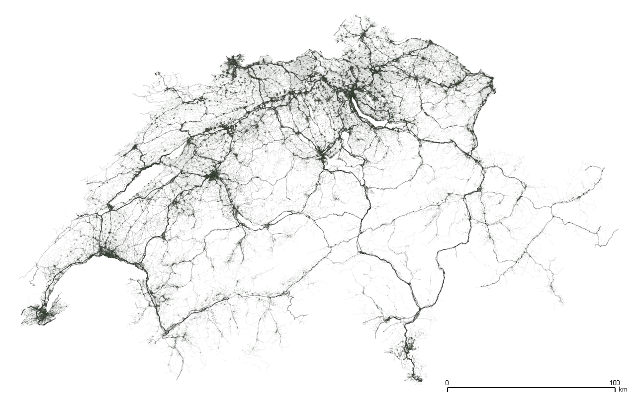
| 16:59, 11 September 2011 | Switzerland road density 2011.png (file) |  |
742 KB | Road Network of Switzerland in OSM August 2011 | 1 |
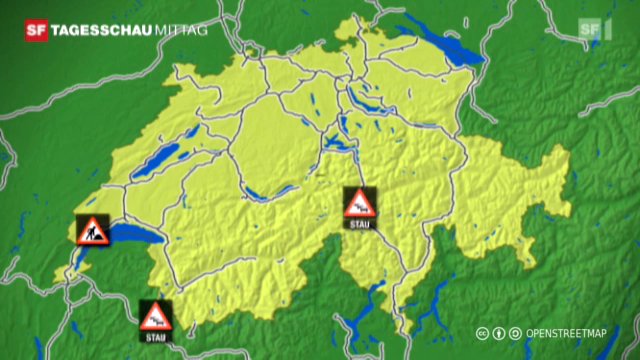
| 02:46, 22 April 2011 | SF.tv Osterstaukarte.jpg (file) |  |
59 KB | Vorschlag zur Namensnennung von OSM auf Kartendarstellungen von SF basierend auf Kartenmaterial von OpenStreetMap DejaVu Sans Semi-Condensed Created with GIMP CC-BY-SA OpenStreetMap contributors - Micha Ruh http://creativecommons.org/licenses/by-sa/2.0 | 1 |
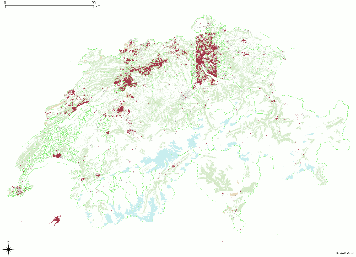
| 08:21, 15 December 2010 | Schweiz building distribution pre bing aerial images.png (file) |  |
116 KB | Category:Maps of places in Switzerland | 1 |
| 01:30, 3 October 2010 | Eine Insel für die Zeit.png (file) |  |
71 KB | 3 | |
| 21:00, 30 August 2010 | Amenity=police mapnik.png (file) |  |
600 bytes | 1 | |
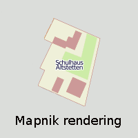
| 20:41, 30 August 2010 | Highway=raceway mapnik.png (file) |  |
2 KB | Mapnik Rendering example for highway=raceway | 1 |
| 01:45, 15 May 2010 | Schweiz-mapnik-z9-4x4-50p.png (file) |  |
1.88 MB | A map of switzerland by the OSM mapnik renderer in zoom level 9. size scaled down to 50%. | 2 |
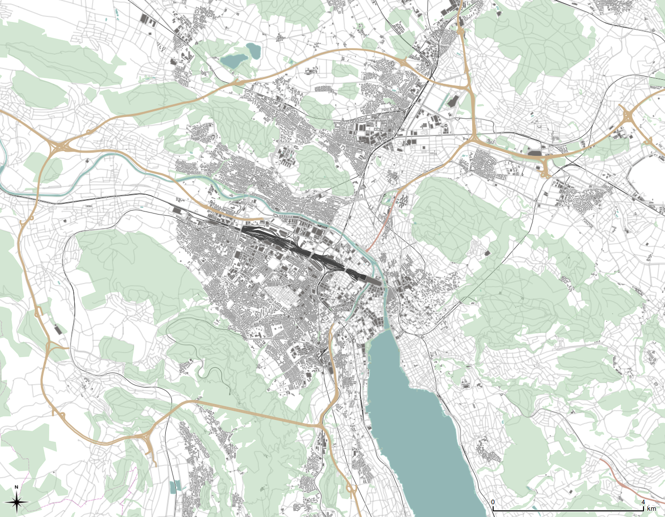
| 21:15, 21 April 2010 | Zürich buildings.png (file) |  |
1.34 MB | 6 | |
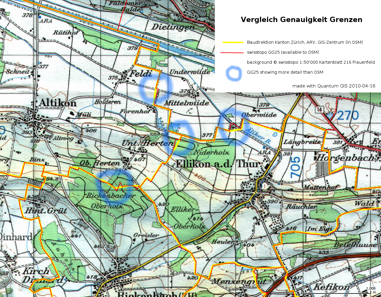
| 17:02, 16 April 2010 | Grenzenvergleich BaudirektionZH-ARV und swisstopoGG25.png (file) |  |
1.61 MB | Comparison between swisstopo GG25 administrative borders available to OSM and existing Data in OSM donated by Baudirektion Kanton Zürich, ARV, GIS-Zentrum. GG25 from: http://www.swisstopo.admin.ch/internet/swisstopo/de/home/products/landscape/gg25.html | 1 |
| 20:41, 8 September 2009 | Key-ele mapnik.png (file) |  |
3 KB | mapnik rendering of a railway=station and a natural=peak with a ele= tag | 1 |
| 20:29, 8 September 2009 | Amenity=school area mapnik.png (file) |  |
3 KB | 1 | |
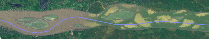
| 22:17, 5 September 2009 | Make river landsat.png (file) | 194 KB | I like to mark riverbanks on its high-water extent, including sandbanks. Therefore non-permanent islands (sandbanks) are also included, only permanent islands are marked. | 1 | |
| 03:23, 21 August 2009 | Potlatch user.png (file) |  |
443 KB | Apparently it's CC-BY fakerichardf, whoever that is. Also apparently the background image is CC-BY some guy off flickr called Don Gato. http://fakerichardf.blogspot.com/ | 1 |
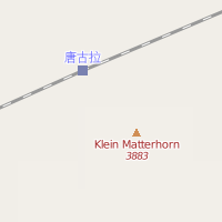
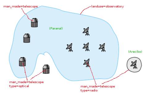
| 21:27, 16 August 2008 | Observatory graphical view.jpg (file) |  |
18 KB | 1 | |
| 20:04, 16 August 2008 | Observatory dome 32x32.svg (file) |  |
6 KB | Icon of a Observatory Dome | 1 |
| 18:57, 16 August 2008 | Radio telescope 32x32 bw.svg (file) |  |
6 KB | Icon of a Radio Dish | 1 |
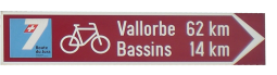
| 11:35, 26 March 2008 | SwissCycleRouteSignDirection.png (file) | 25 KB | 1 | ||
| 10:22, 26 March 2008 | SwissCycleRouteSign.png (file) |  |
19 KB | 1 | |
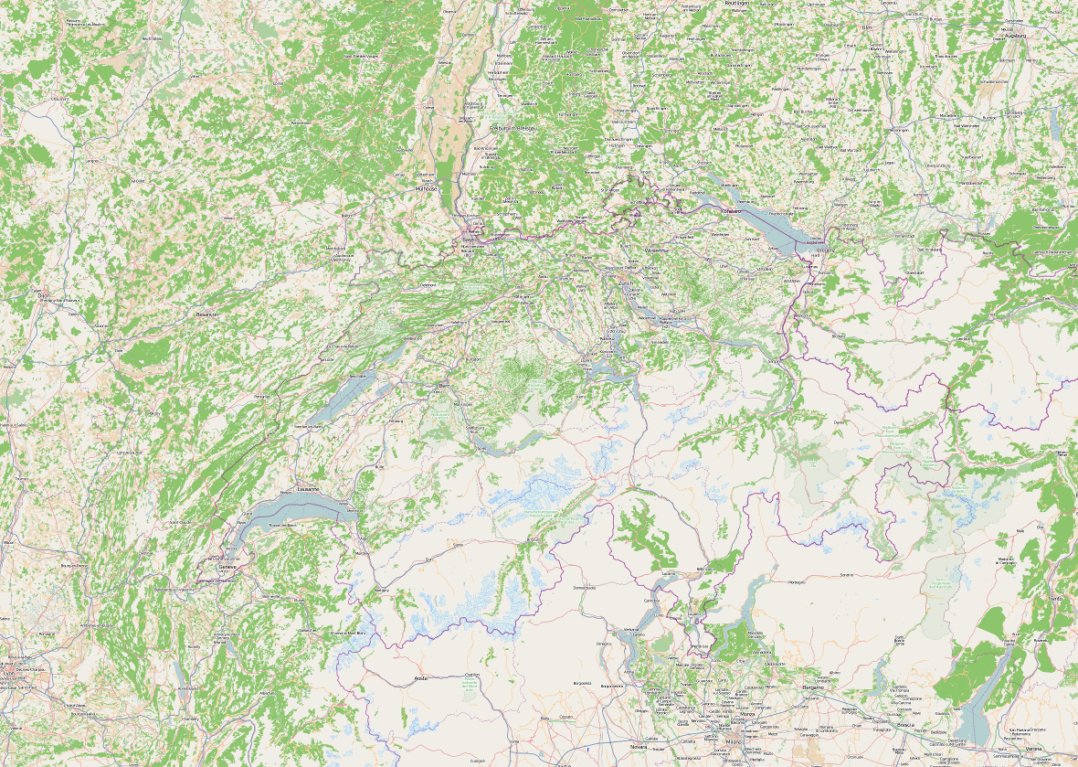
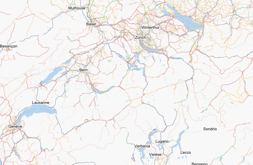
| 02:41, 26 March 2008 | Switzerland overview.png (file) |  |
144 KB | reduzed file size | 3 |
| 02:27, 26 March 2008 | Jura.png (file) |  |
59 KB | 1 | |
| 02:23, 26 March 2008 | Graubünden.png (file) |  |
74 KB | swiss canton Graubünden | 1 |
| 02:13, 26 March 2008 | Genève.png (file) |  |
63 KB | swiss canton geneve mapnik rendering | 1 |
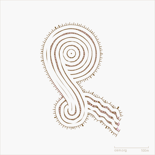
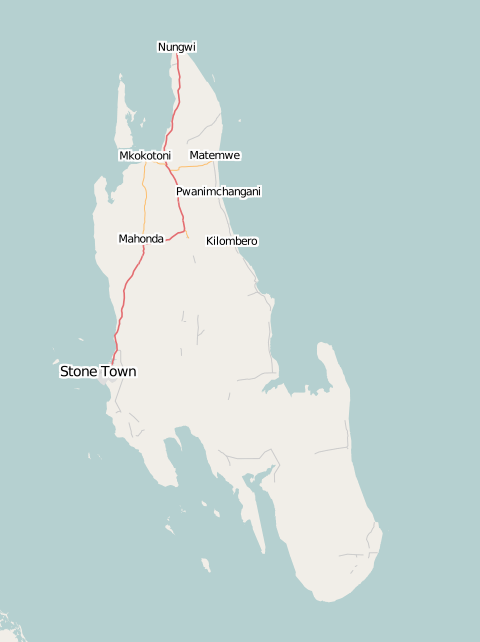
| 01:37, 26 March 2008 | Zanzibar.png (file) |  |
32 KB | 1 | |
| 23:08, 22 March 2008 | Telescope32.PNG (file) |  |
1 KB | sketch of observatory icon | 1 |
| 21:13, 12 November 2007 | Osm-smile.png (file) |  |
89 KB | OSMs osmarender layer smiley | 1 |
| 23:58, 5 October 2007 | SteinamRhein Rathausplatz.jpg (file) |  |
540 KB | Rathausplatz of Stein am Rhein | 1 |