Uploads by Drlizau
Jump to navigation
Jump to search
This special page shows all uploaded files.
| Date | Name | Thumbnail | Size | Description | Versions |
|---|---|---|---|---|---|
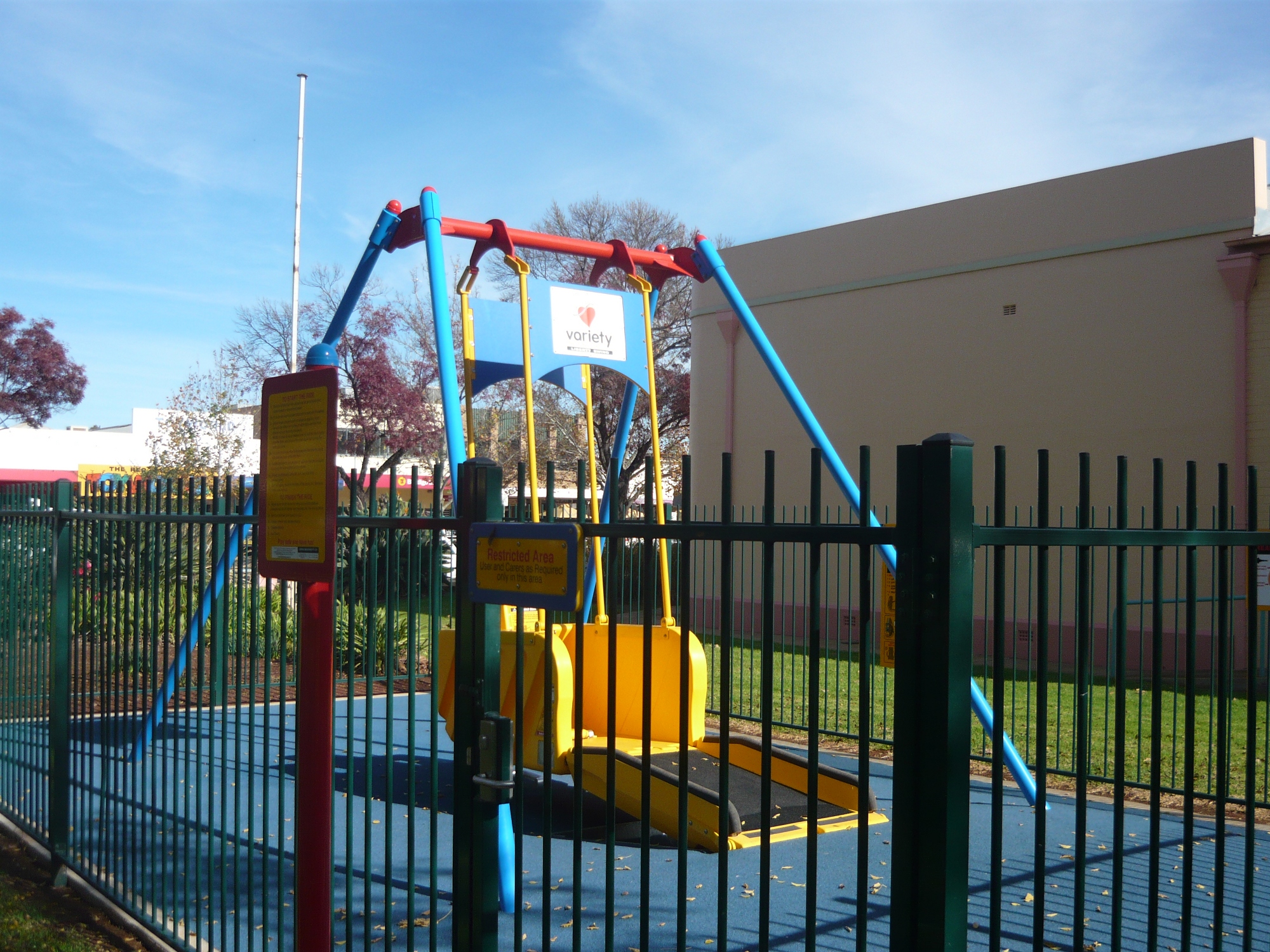
| 12:09, 1 June 2010 | Liberty swing.JPG (file) |  |
1.53 MB | Liberty (TM) swing at Griffith NSW, Australia. Usable by wheelchair user or by other disabled persons. | 1 |
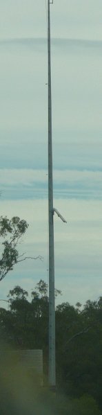
| 05:14, 1 June 2010 | River height.jpg (file) |  |
10 KB | Aerial mast for a river height monitoring station, Wakool River, NSW, Australia | 1 |
| 01:49, 1 June 2010 | Picnic site1.jpg (file) |  |
13 KB | Picnic area on Murrumbidgee River, Hay. NSW, Australia | 1 |
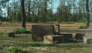
| 01:27, 1 June 2010 | Fireplace2.jpg (file) |  |
18 KB | smaller | 2 |
| 04:34, 8 May 2010 | Floodway2.jpg (file) |  |
133 KB | Depth marker for floodwaters in flood prone area. | 1 |
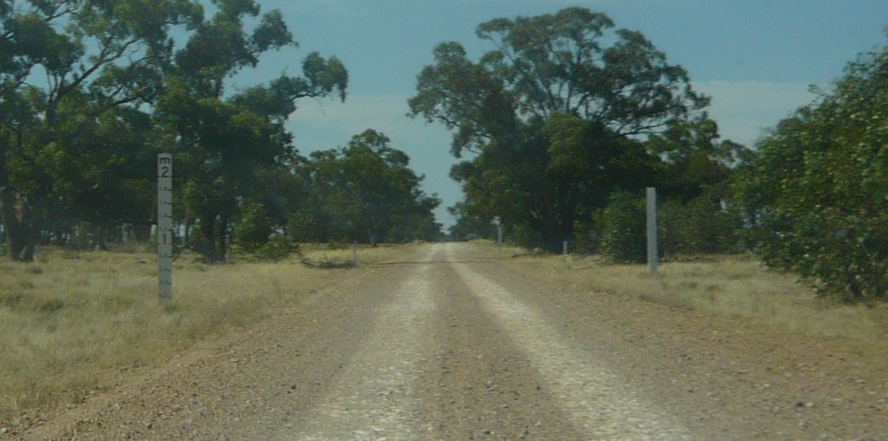
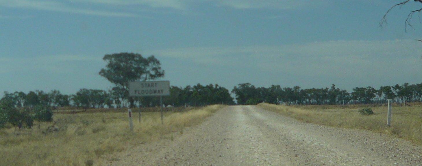
| 04:33, 8 May 2010 | Floodway1.jpg (file) |  |
95 KB | Marked Floodway in flood prone area. | 1 |
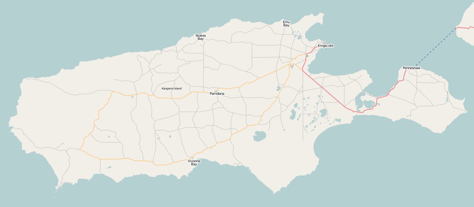
| 07:12, 16 November 2008 | Map 3.jpg (file) |  |
54 KB | KI_Nov08 | 1 |
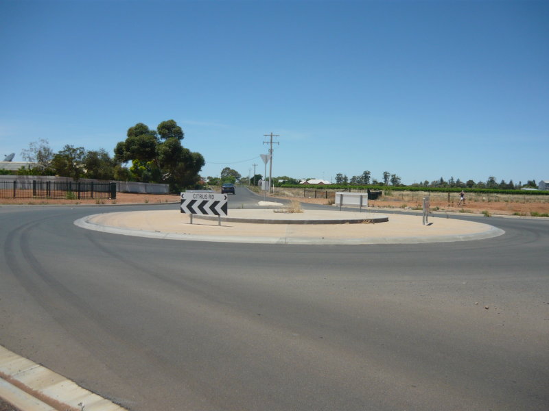
| 05:41, 16 November 2008 | Roundabout 1.jpg (file) |  |
64 KB | Roundabout with overrun | 1 |
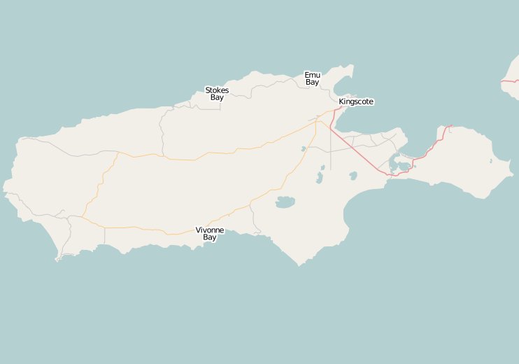
| 01:18, 19 October 2008 | KI 1.jpg (file) |  |
16 KB | Kangaroo Island OSM map | 2 |
| 00:58, 19 October 2008 | KI 2.jpg (file) |  |
187 KB | drlizau, swamp and rrankin at Kingscote | 1 |
| 11:21, 2 September 2008 | Australia.jpg (file) |  |
53 KB | the State of a nation Australia mapped so far by Open Street Mappers Download of Australia.osm from 31 Aug 08; opened in JOSM | 1 |
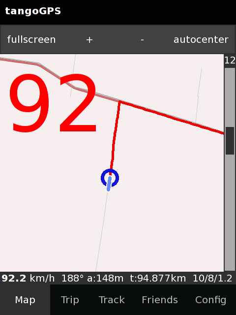
| 08:14, 28 August 2008 | Tangogps-Screenshot-2.png (file) |  |
24 KB | travelling at 92kmh | 1 |
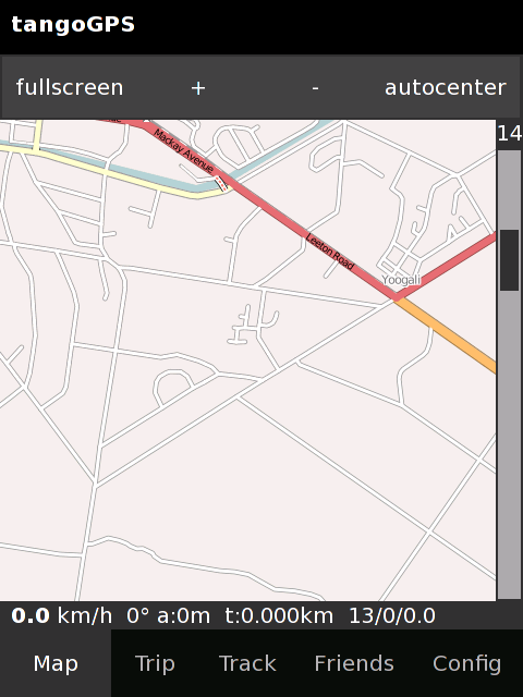
| 11:20, 23 August 2008 | TangoGPS-Screenshot-1.png (file) |  |
69 KB | Yoogali NSW Australia shown by tangoGPS on a Neo Freerunner | 1 |