Uploads by Ivom
Jump to navigation
Jump to search
This special page shows all uploaded files.
| Date | Name | Thumbnail | Size | Description | Versions |
|---|---|---|---|---|---|
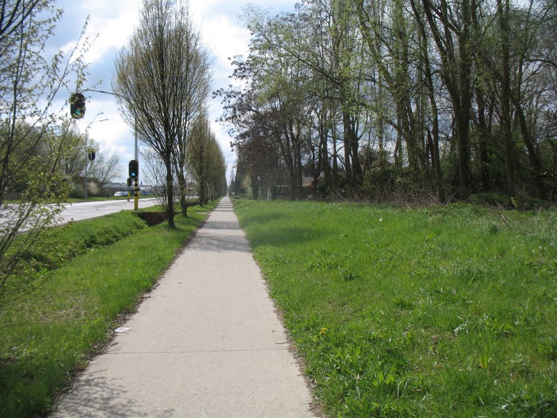
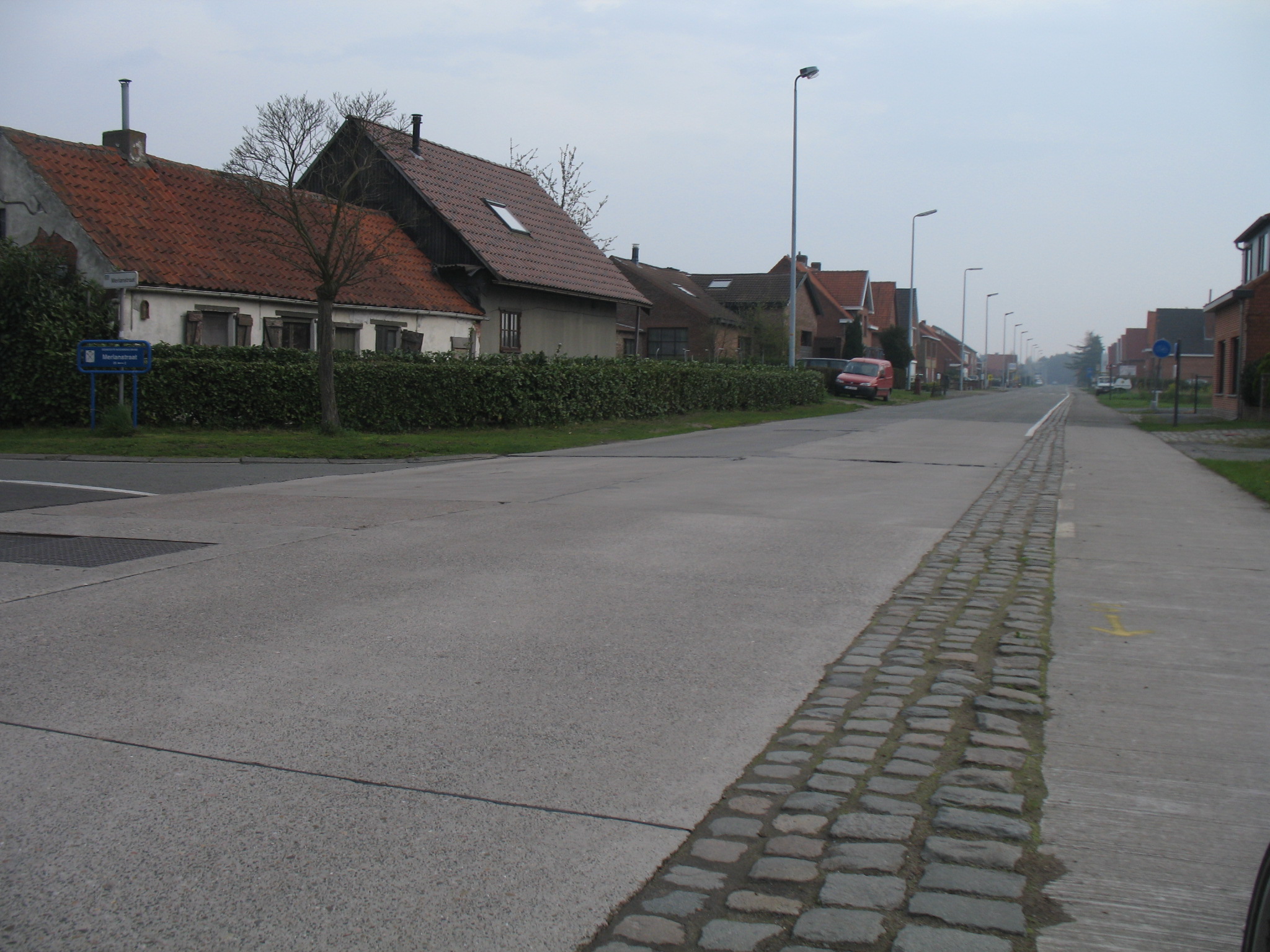
| 18:42, 5 May 2010 | Cycleway track2 be.jpg (file) |  |
235 KB | A more typical cycleway=track example | 1 |
| 20:37, 21 April 2010 | Tertiary be.jpg (file) |  |
63 KB | 1 | |
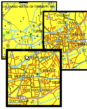
| 20:05, 7 April 2010 | Turnhout partymap.png (file) |  |
131 KB | 4 | |
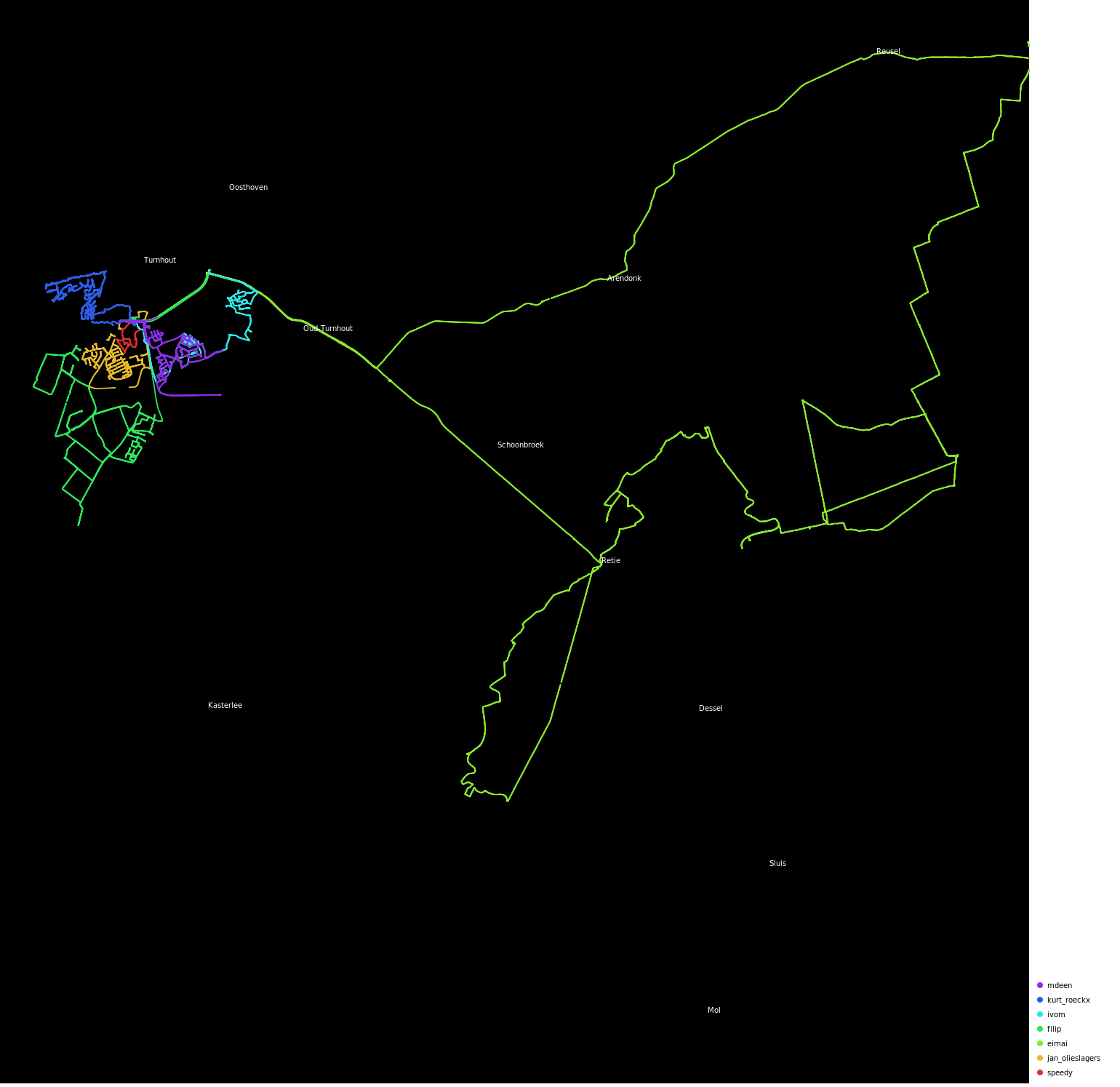
| 19:11, 1 April 2010 | Turnhout cake.png (file) |  |
674 KB | 7 | |
| 09:46, 27 March 2010 | Garmincake.png (file) |  |
13 KB | 1 | |
| 20:26, 8 March 2010 | Turnhout cake.svg (file) |  |
26 KB | 3 | |
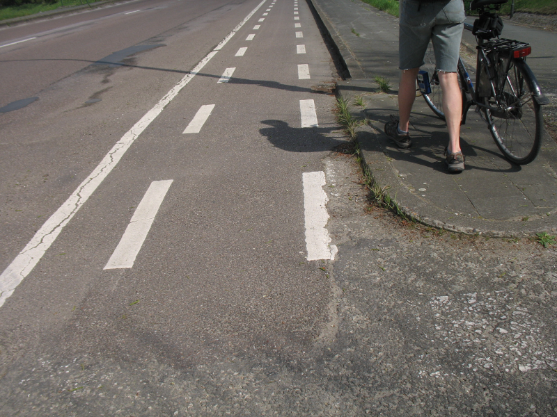
| 20:04, 13 May 2009 | Cycleway lane1 be.jpg (file) |  |
35 KB | 1 | |
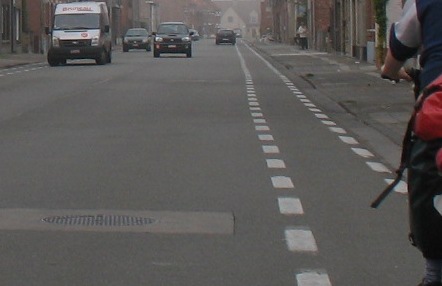
| 19:52, 13 May 2009 | Cycleway track1 be.jpg (file) |  |
767 KB | minimal buffer, but this classifies as cycleway=track to a highway=* | 1 |
| 20:20, 12 May 2009 | Cyclelane be.png (file) |  |
910 KB | This is the way cycleways are mostly 'constructed' the easy way. Some paint and that's about it. Believe it on not but this is a designated cycleway along secondary and sometimes even primary highways! | 1 |
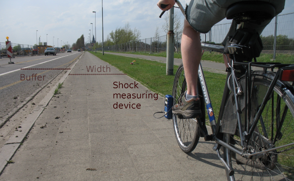
| 20:10, 12 May 2009 | Trilfiets.png (file) |  |
444 KB | This picture shows a relatively simple measurement setup for aquiring the shocks on a cycleway. The setup was devised by the KU Leuven and the measurement on this picture was done by the Fietserbond Antwerpen | 1 |
| 20:57, 27 October 2008 | HobokenMappingpartyresults.png (file) |  |
541 KB | Resulting colorful ito map one week after the mapping party in Hoboken, 19th of Oktober 2008 | 1 |
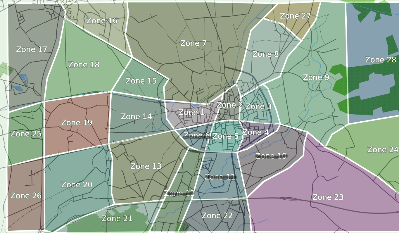
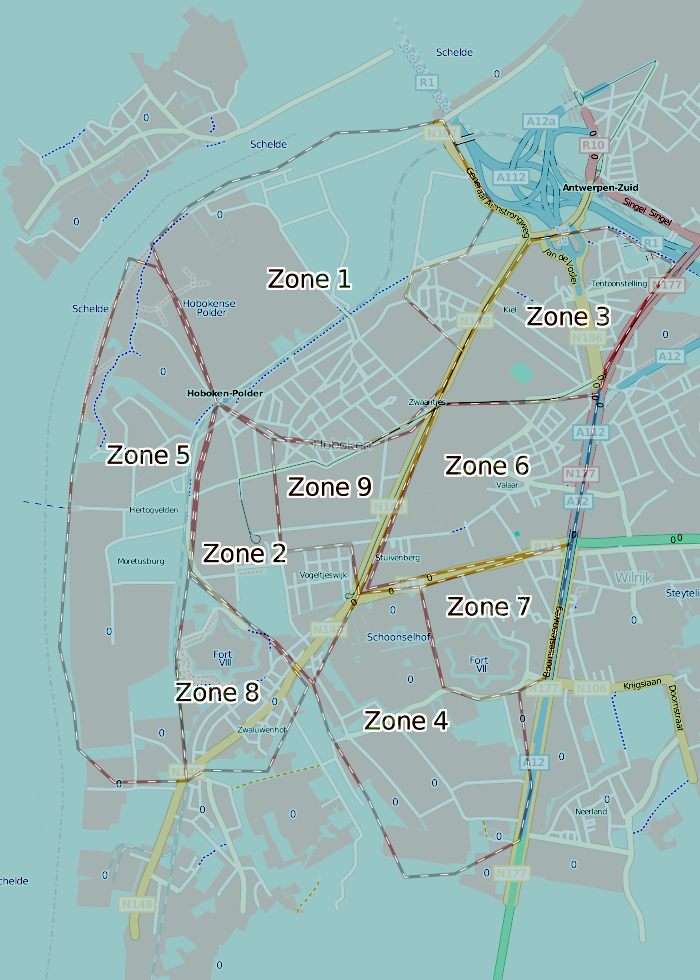
| 22:07, 12 October 2008 | Hobokenzone.png (file) |  |
463 KB | Zones for the Mapping party in Hoboken, Antwerp | 1 |