Uploads by Jfd553
Jump to navigation
Jump to search
This special page shows all uploaded files.
| Date | Name | Thumbnail | Size | Description | Versions |
|---|---|---|---|---|---|
| 19:44, 2 April 2024 | JOSM.ReplaceGeometry.png (file) | 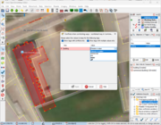 |
268 KB | Reverted to version as of 19:32, 2 April 2024 (UTC) | 4 |
| 17:54, 28 March 2024 | JOSM.LifeCyclePrefix.png (file) | 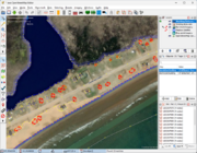 |
639 KB | {{Information | description=Selecting Destroyed/demolished buildings using life cycle prefixes in JOSM. | source=Esri World Imagery, OSM data, JOSM | date=2024-03-28 | author=jfd553 | other_versions= }} | 1 |
| 17:08, 28 March 2024 | OSM.PlageDuSud.Multipolygon.png (file) | 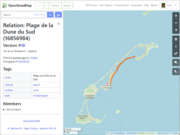 |
102 KB | {{Information | description=View of a long multipolygon describing "Plage de la dune du Sud". | source=OSM data | date=2028-03-28 | author=jfd553 | other_versions= }} | 1 |
| 17:03, 28 March 2024 | JOSM.NaturalFeatures.List.png (file) | 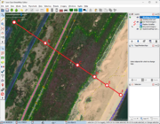 |
456 KB | {{Information | description=A sequence of natural features (Esri World Imagery) with OSM data in JOSM | source=OSM, Esri World Imagery, JOSM | date=2024-03-28 | author=jfd553 | other_versions= }} | 1 |
| 17:00, 28 March 2024 | Grosse-Ile.Sentinel-2.C.png (file) | 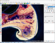 |
365 KB | {{Information | description=OSM data overlayed on a false-color Sentinel-2 image. | source=OSM, Sentinel-2 | date=2024-03-28 | author=jfd553 | other_versions= }} | 1 |
| 16:47, 28 March 2024 | JOSM.WorkingArea.png (file) | 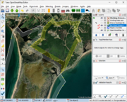 |
430 KB | {{Information | description=Some personal features overlayed on Esri World Imagery using JOSM | source=Esri World Imagery,JOSM | date=2024-03-28 | author=jfd553 | other_versions= }} | 1 |
| 16:42, 28 March 2024 | JOSM.StravaGlobalHeatmap.jpg (file) | 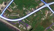 |
126 KB | {{Information | description= Overlay of Strava Global Heatmap and GPS tracks from OSM (pink dots) on Esri World imagery. | source= OSM, Strava Global Heatmap, Esri World imagery, on JOSM | date=2024-03-28 | author= jfd553 | other_versions= none }} | 1 |
| 15:12, 28 March 2024 | Cap-Aux-Meules.2024.png (file) | 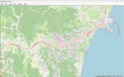 |
304 KB | {{Information | description= Cap-aux-Meules as of February 29, 2024 on Maperitive. | source= OSM data on Maperitive | date=2024-03-28 | author= jfd553 | other_versions= none }} | 1 |
| 15:05, 28 March 2024 | Cap-Aux-Meules.2023.png (file) | 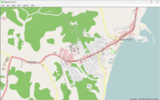 |
184 KB | {{Information | description= Cap-aux-Meules as of June 30, 2023 on Maperitive. | source= OSM historical data from overpass-turbo request | date=2024-03-28 | author= jfd553 | other_versions= none }} | 1 |
| 18:32, 1 January 2020 | CollinearNodesRepresentation.png (file) | 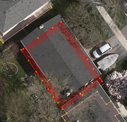 |
376 KB | An example of an excess nodes in a building. New version of File:Un-simplified-building.png with the second roof level removed om prder to keep the discussion focussed on initial intention. | 1 |