Uploads by Remco
Jump to navigation
Jump to search
This special page shows all uploaded files.
| Date | Name | Thumbnail | Size | Description | Versions |
|---|---|---|---|---|---|
| 20:17, 7 October 2007 | 20071007 amsterdam.jpg (file) | 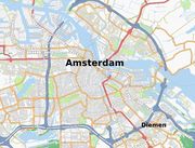 |
118 KB | updated map of Amsterdam | 1 |
| 12:52, 26 August 2007 | And-naardenvesting.jpg (file) |  |
17 KB | Naarden-vesting on Garmin device, from AND data | 1 |
| 12:51, 26 August 2007 | And-bussum.jpg (file) | 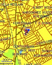 |
23 KB | Bussum on Garmin device, generated from AND data. | 1 |
| 13:30, 30 June 2007 | Garmin-rembrandtplein.jpg (file) |  |
17 KB | Screenshot of Garmin Etrex Vista Cx showing the Rembrandtplein in a higher zoomlevel | 1 |
| 13:26, 30 June 2007 | Garmin-muntplein1.jpg (file) |  |
24 KB | Screenshot of Garmin Etrex Vista Cx showing a part of Amsterdam, pointer set on Muntplein | 1 |
| 13:25, 30 June 2007 | Garmin-map-setup.jpg (file) |  |
15 KB | Screenshot of Garmin Etrex Vista Cx showing the OSM map selected in the map setup | 1 |
| 13:24, 30 June 2007 | Garmin-bussum1.jpg (file) | 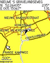 |
14 KB | Screenshot of Garmin Etrex Vista Cx showing part of Bussum | 1 |
| 09:09, 20 June 2007 | 4292.png (file) |  |
253 KB | more recently updated version of Bussum. | 2 |
| 19:45, 5 April 2007 | Huizen.jpg (file) |  |
68 KB | The town of Huizen as on http://www.informationfreeway.org/?lat=6854492.47236&lon=583756.62447&zoom=14&layers=B000 | 1 |
| 13:11, 30 March 2007 | Osmgarmin.jpg (file) | 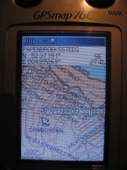 |
60 KB | OpenStreetMap map of Amsterdam on Garmin device | 1 |
| 09:25, 18 March 2007 | Detail 001733.png (file) |  |
18 KB | OSM map of Hilversum as of 18 march 2007 | 1 |
| 21:13, 25 February 2007 | IMG 5320-small.jpg (file) | 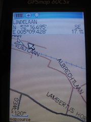 |
58 KB | A picture made by User:Michiel of his Garmin device, showing a part of the region I am mapping (more info on User:Remco) | 1 |
| 19:57, 25 February 2007 | IMG 5317-small.jpg (file) | 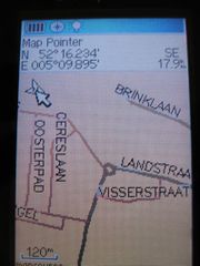 |
55 KB | A picture made by User:Michiel of his Garmin device, showing a part of the region I am mapping (more info on User:Remco) | 1 |