Uploads by Rjw62
Jump to navigation
Jump to search
This special page shows all uploaded files.
| Date | Name | Thumbnail | Size | Description | Versions |
|---|---|---|---|---|---|
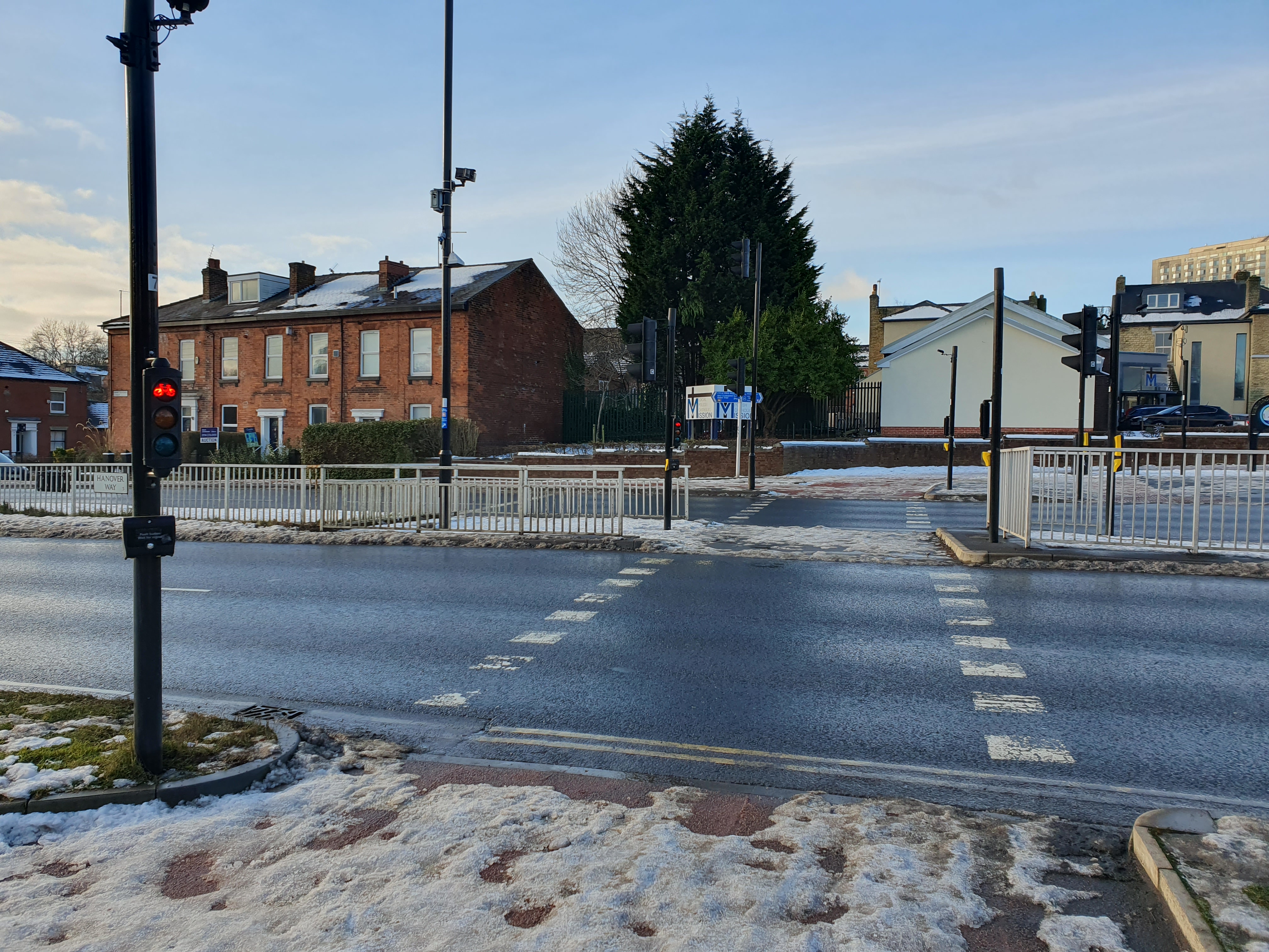
| 13:27, 14 January 2025 | Uk-cycleway-crossing.jpg (file) |  |
3.34 MB | {{Information | description=Example of a "signal‑controlled cycle facility", where a cycleway crosses a main road. | source=Sheffield, UK. | date=2025-01-12 | author=Robert Whittaker | other_versions= }} | 1 |
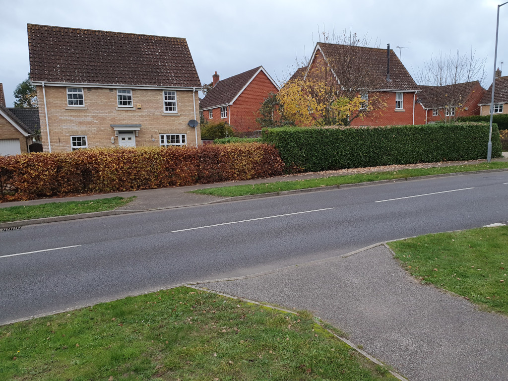
| 18:03, 16 November 2024 | Uk-unmarked-crossing.jpg (file) |  |
337 KB | {{Information | description=Unmarked pedestrian crossing with dropped kerbs in the UK | source= | date=2024-11-16 | author=Robert Whittaker | other_versions= }} | 1 |
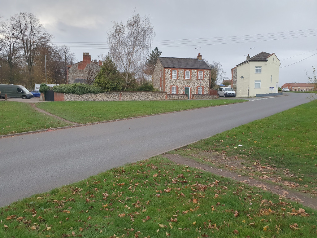
| 18:03, 16 November 2024 | Uk-raised-table-crossing.jpg (file) |  |
380 KB | {{Information | description=Raised table pedestrian crossing in the UK | source= | date=2024-11-16 | author=Robert Whittaker | other_versions= }} | 1 |
| 18:01, 16 November 2024 | Uk-informal-crossing.jpg (file) |  |
289 KB | {{Information | description=Informal crossing in the UK | source= | date=2024-11-16 | author=Robert Whhittaker | other_versions= }} | 1 |
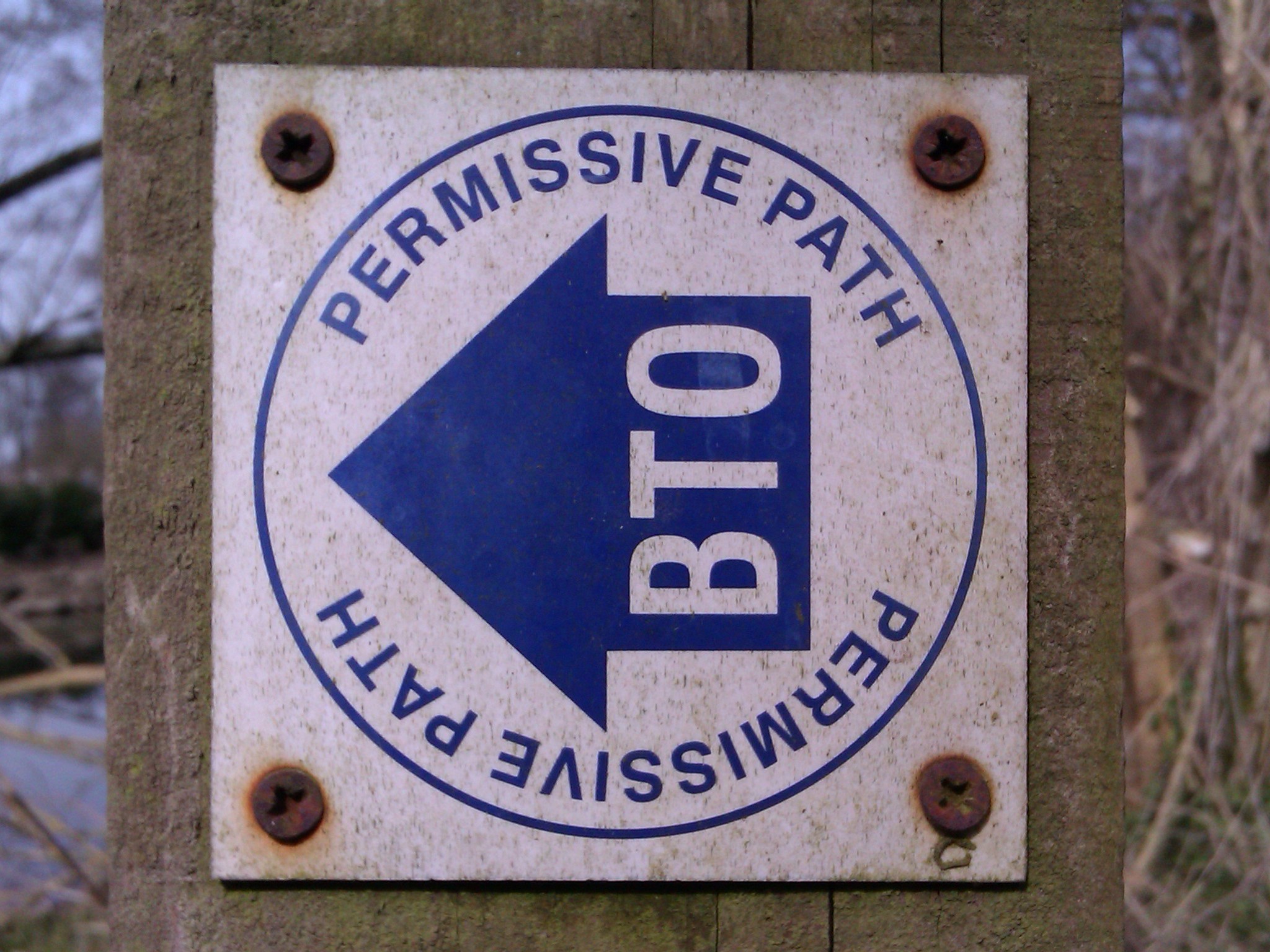
| 09:55, 8 January 2014 | PBR-roundel.jpg (file) |  |
548 KB | Permissive bridleway sign in the UK | 1 |
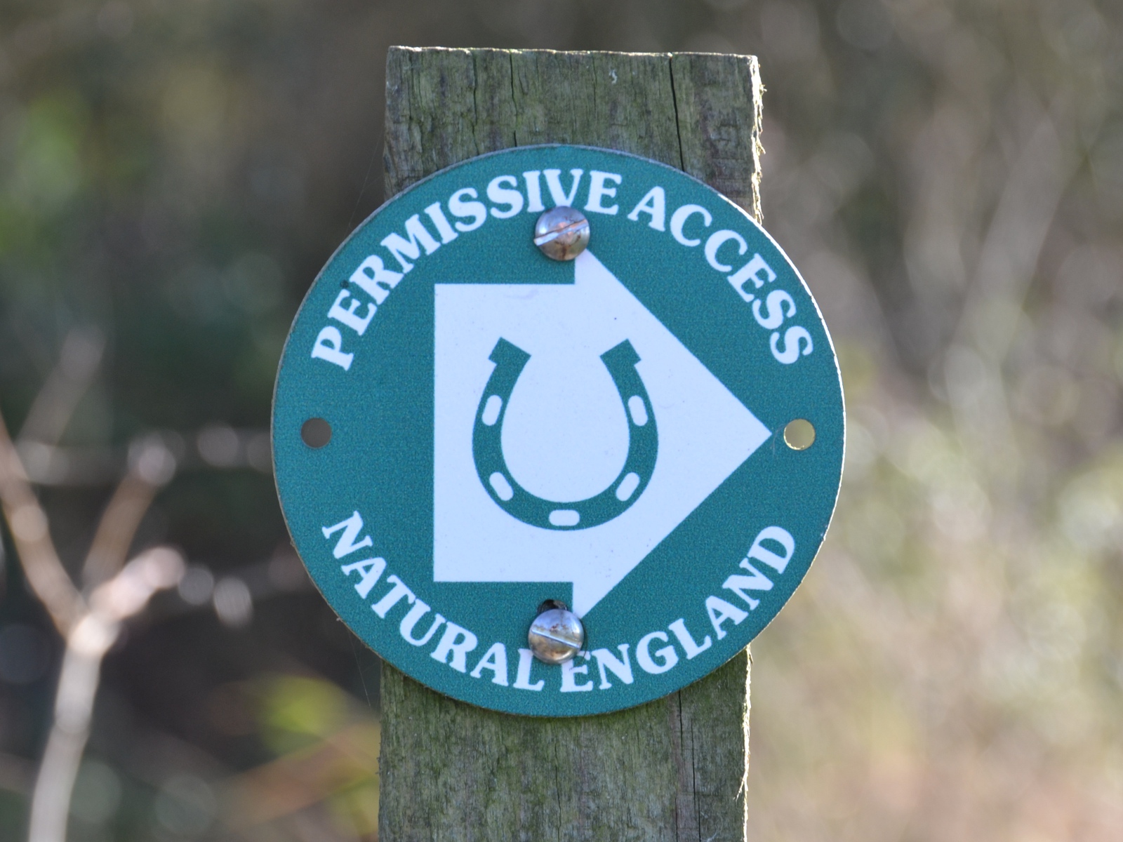
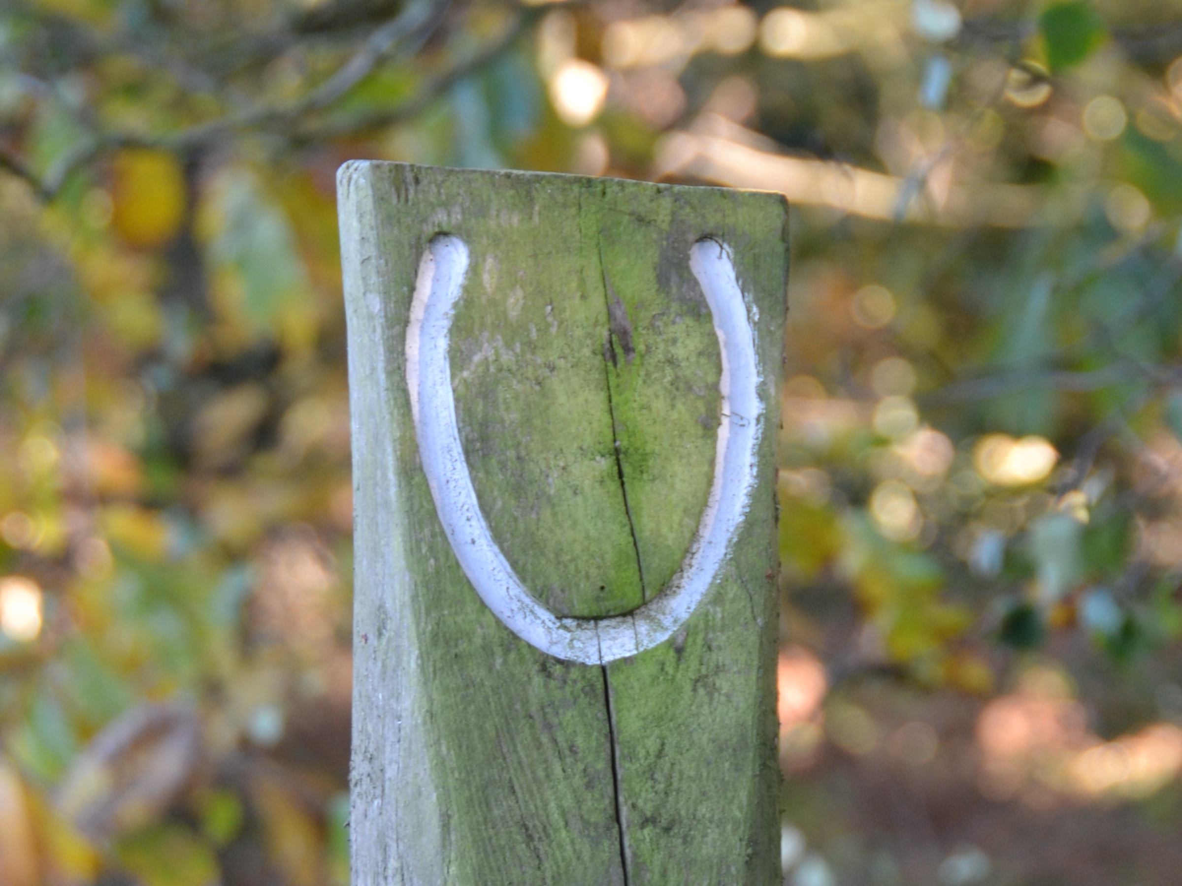
| 17:02, 17 November 2013 | PBR-horseshoe.jpg (file) |  |
1 MB | Pale blue horseshoe on wooden post, indicating a permissive bridleway. | 1 |
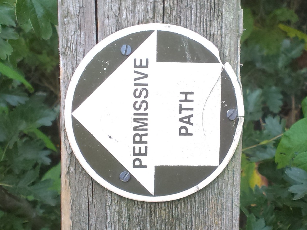
| 20:00, 1 September 2013 | PP-roundel2.jpg (file) |  |
204 KB | UK Permissive Footpath roundel | 1 |
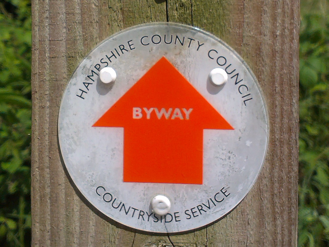
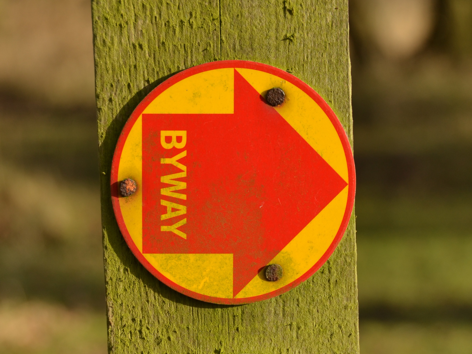
| 13:09, 20 July 2013 | BY-roundel2.jpg (file) |  |
363 KB | UK Byway Open to ALl Traffic roundel | 1 |
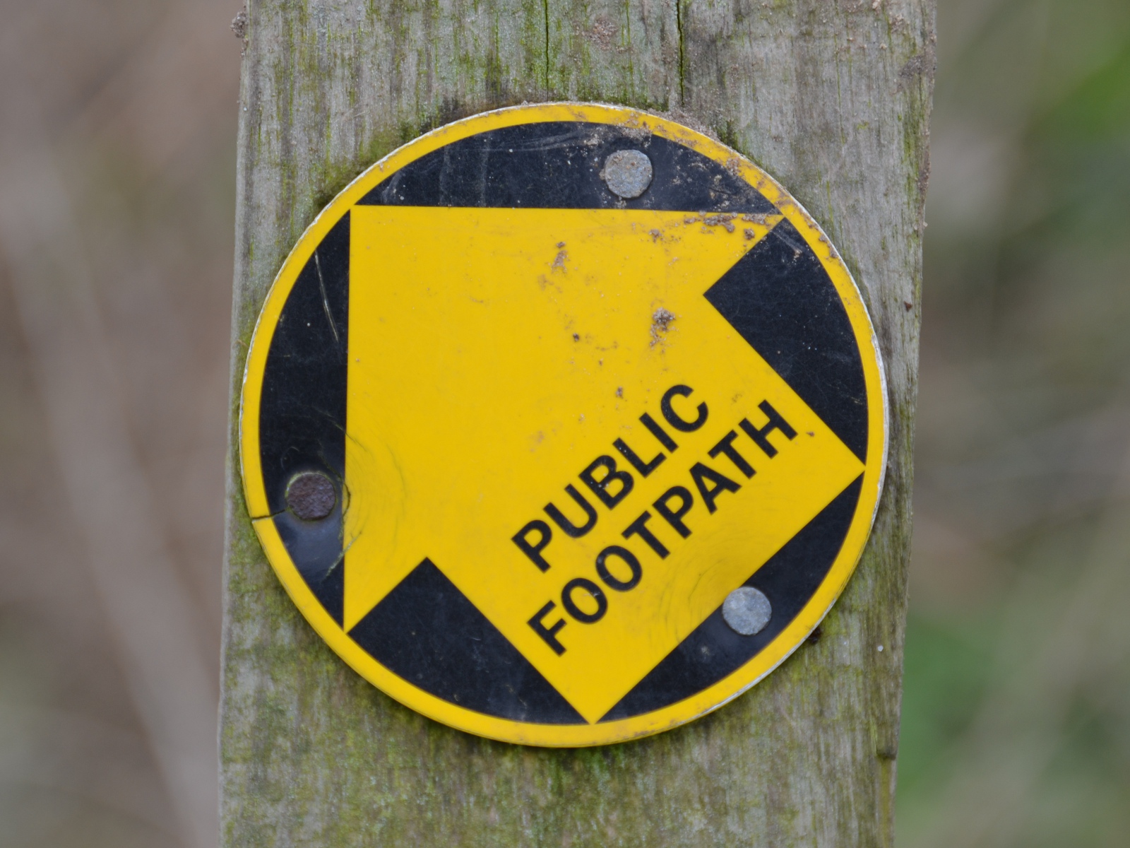
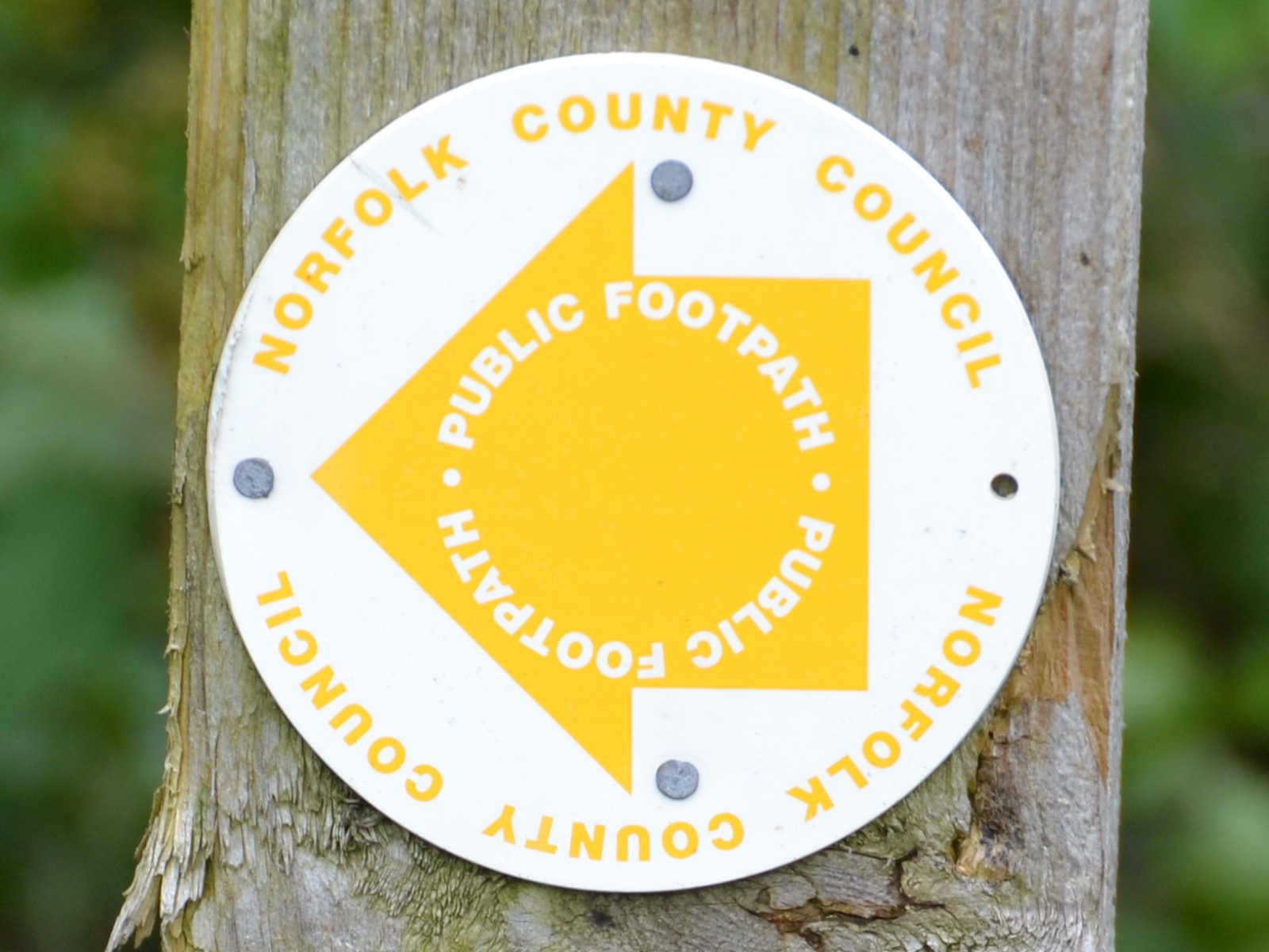
| 09:59, 11 May 2013 | FP-roundel2.jpg (file) |  |
589 KB | UK Public Footpath roundel | 1 |
| 09:58, 11 May 2013 | FP-roundel.jpg (file) |  |
469 KB | UK Public Footpath roundel | 1 |
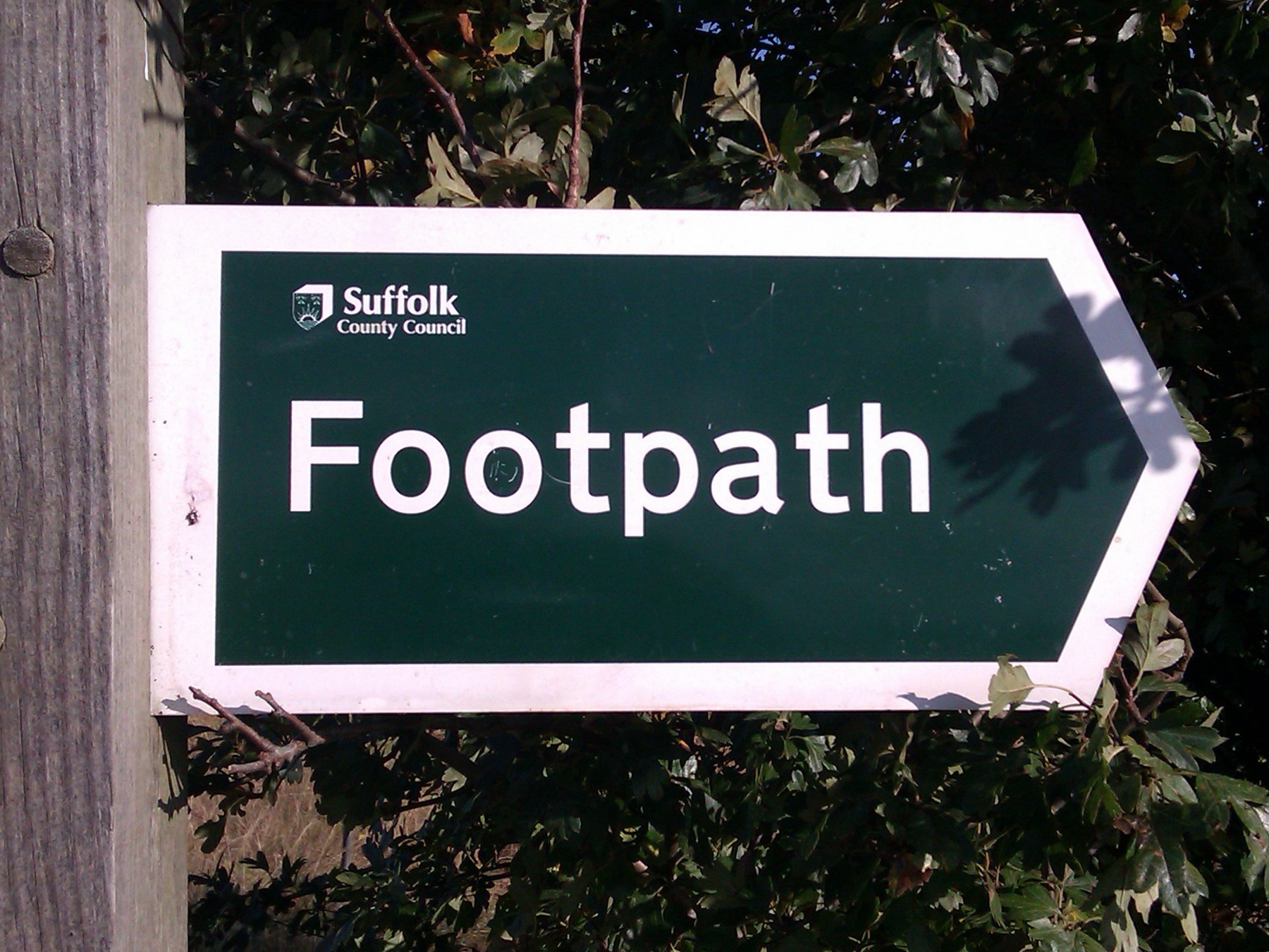
| 09:57, 11 May 2013 | FP-finger2.jpg (file) |  |
494 KB | UK Public Footpath finger post (Suffolk County Council) | 1 |
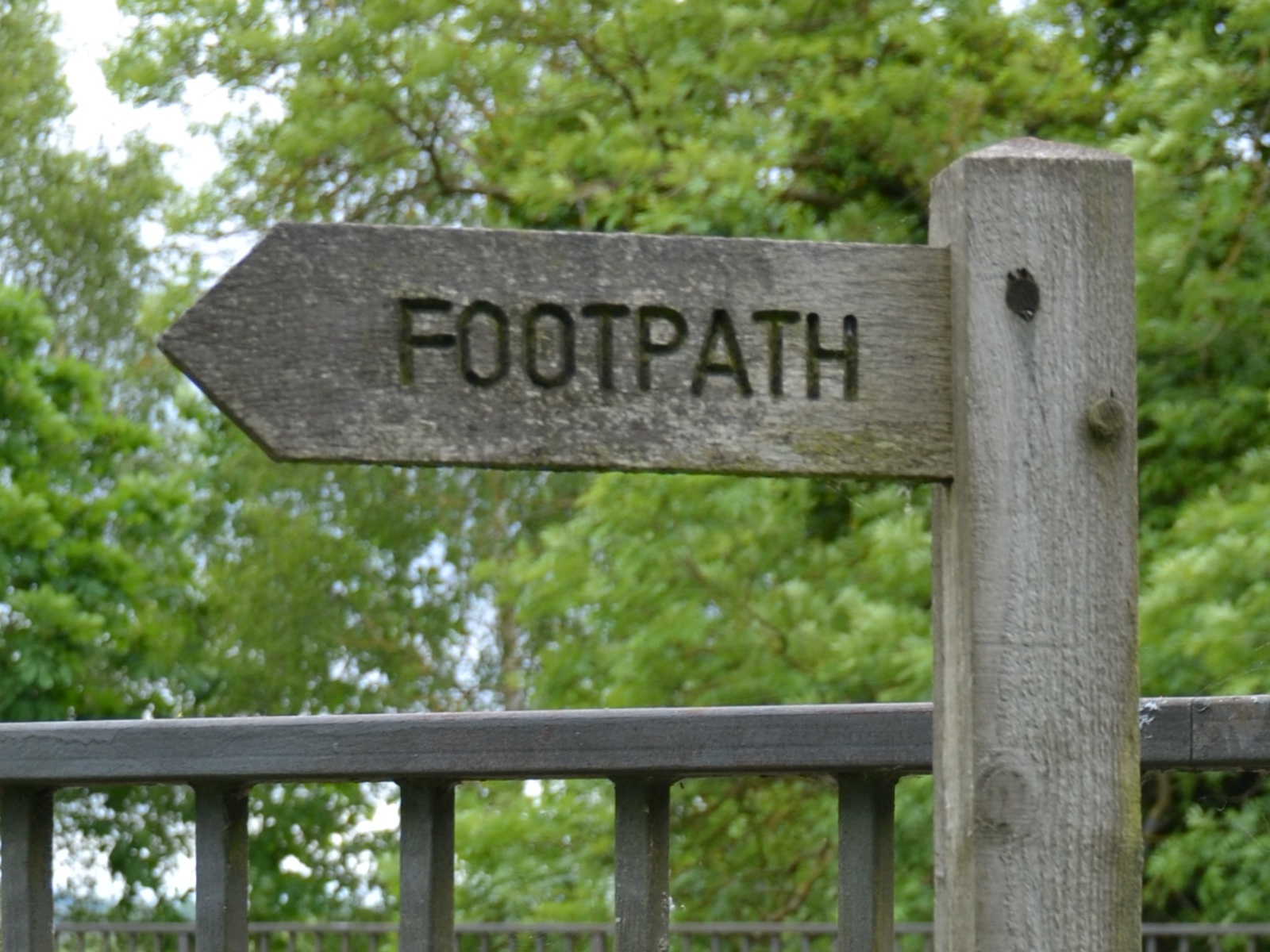
| 09:56, 11 May 2013 | FP-finger.jpg (file) |  |
472 KB | UK Public Footpath finger post | 1 |
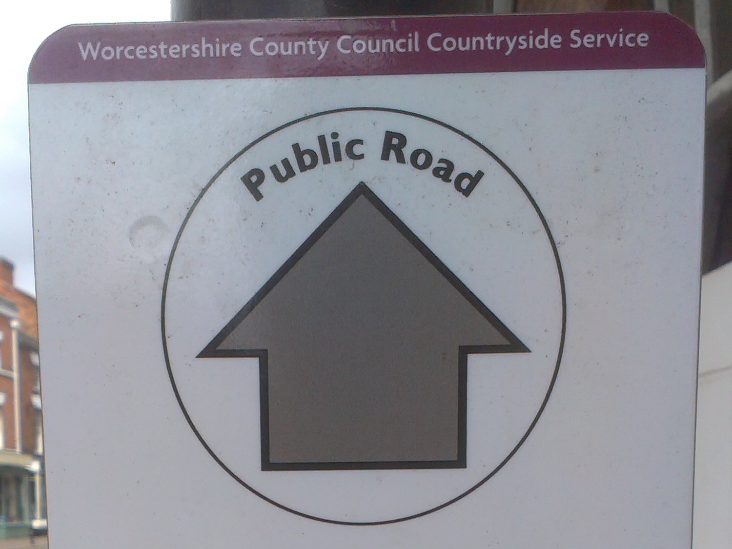
| 09:54, 11 May 2013 | UH-public-road-roundel.jpg (file) |  |
229 KB | UK "public Road" roundel | 1 |
| 09:53, 11 May 2013 | PP-roundel.jpg (file) |  |
605 KB | UK Permissive Footpath roundel | 1 |
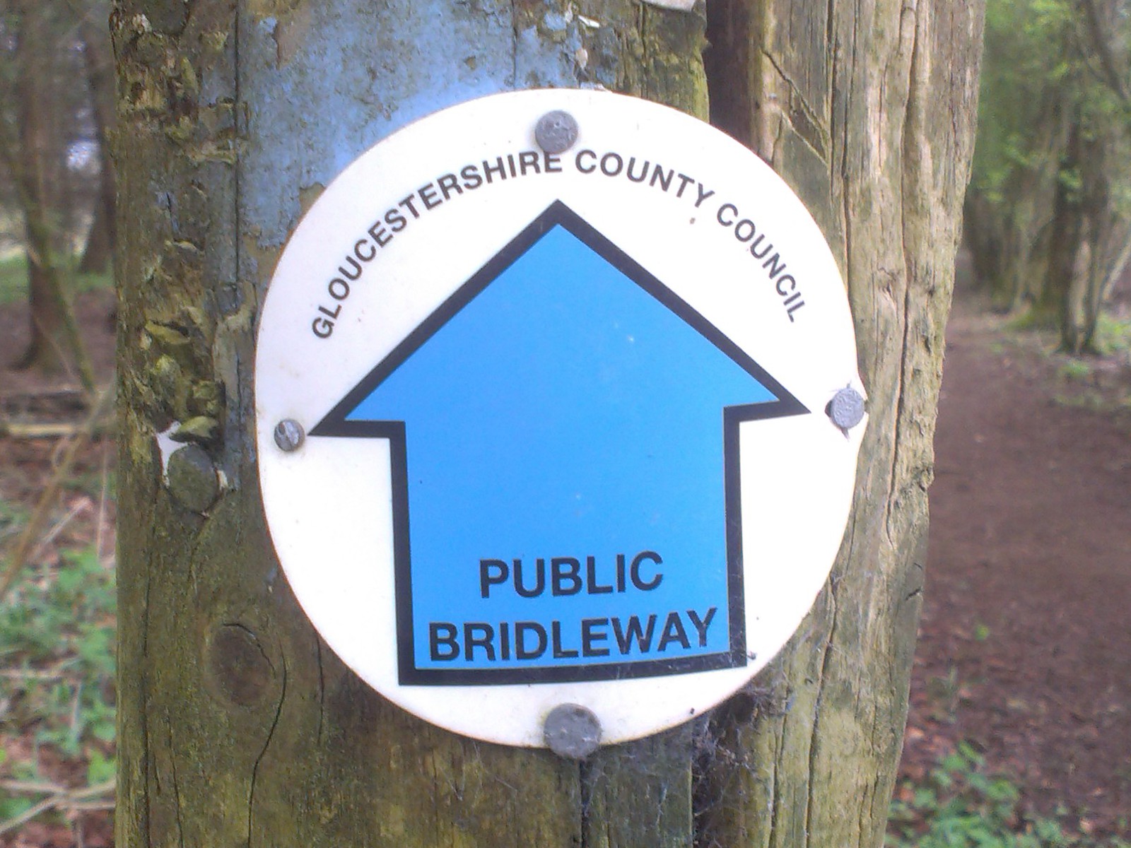
| 09:52, 11 May 2013 | BR-roundel.jpg (file) |  |
383 KB | UK Public Bridleway roundel | 1 |
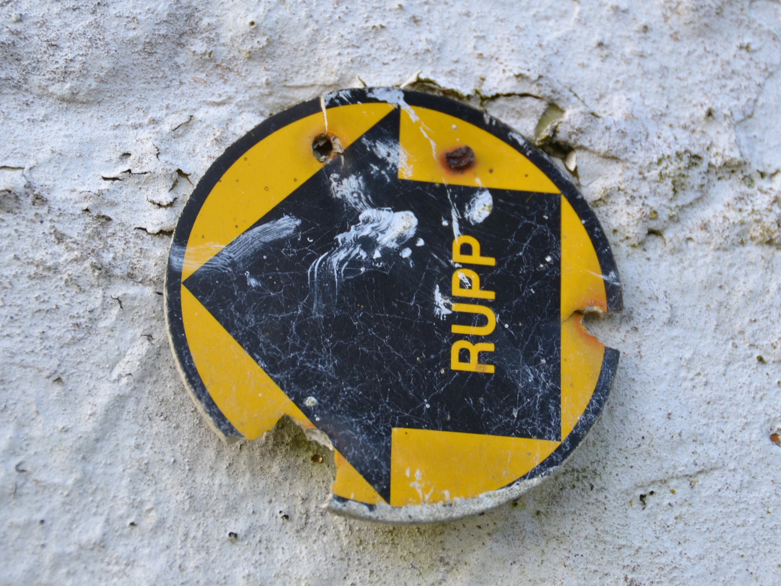
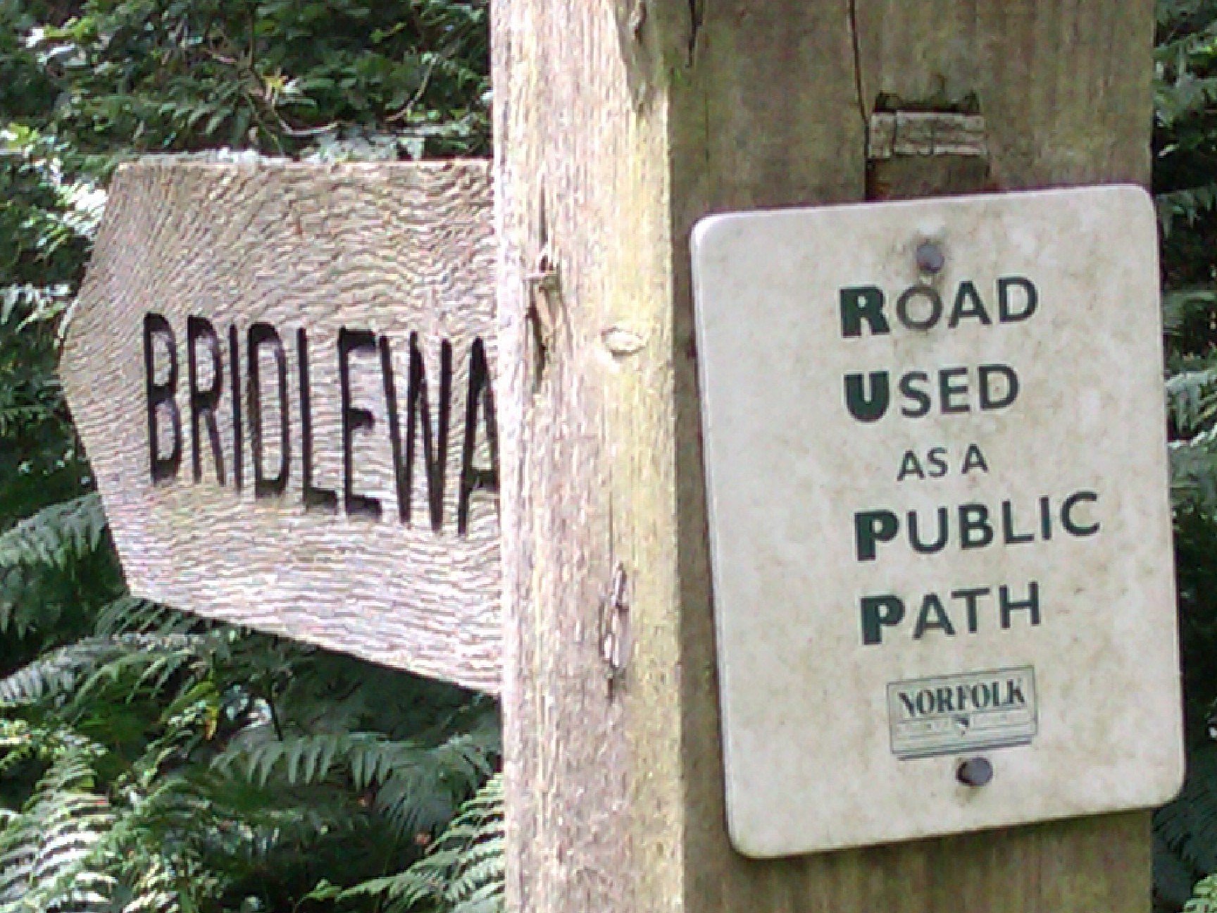
| 10:23, 6 January 2013 | RUPP-roundel.JPG (file) |  |
707 KB | Now obsolete UK Road Used as a Public Path sign | 1 |
| 10:21, 6 January 2013 | BY-roundel.jpg (file) |  |
646 KB | UK Byway Open to All Traffic sign | 1 |
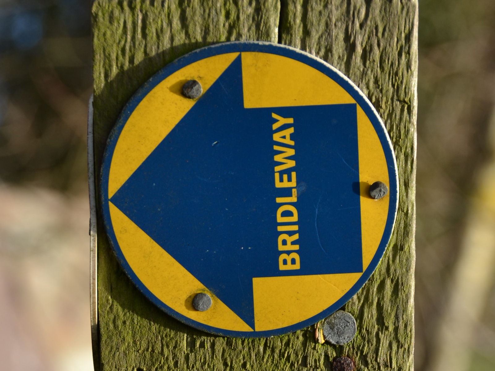
| 10:20, 6 January 2013 | BR-roundel2.jpg (file) |  |
602 KB | UK Bridleway sign | 1 |
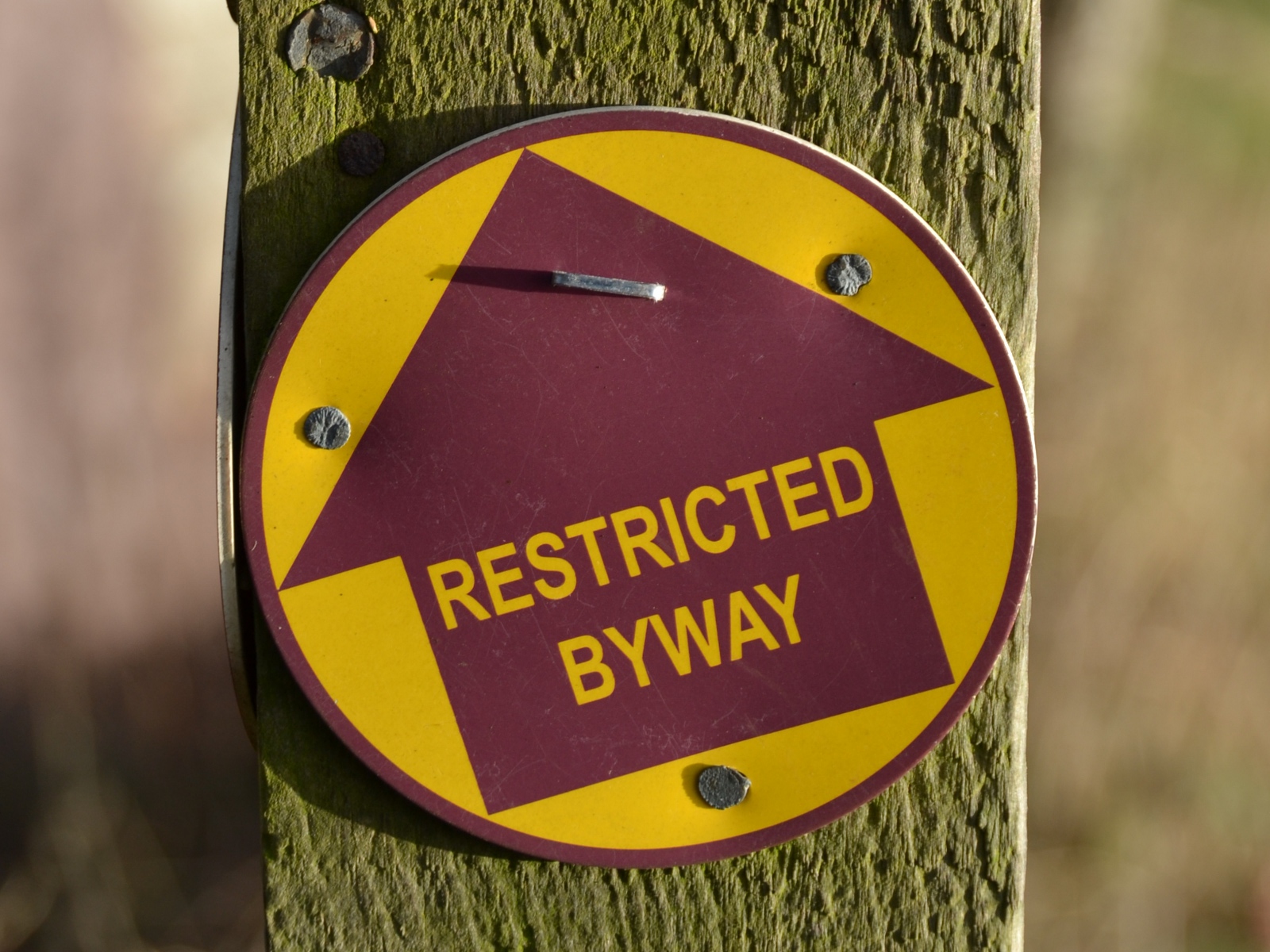
| 10:18, 6 January 2013 | RB-roundel2.jpg (file) |  |
610 KB | UK Restricted Byway sign | 1 |
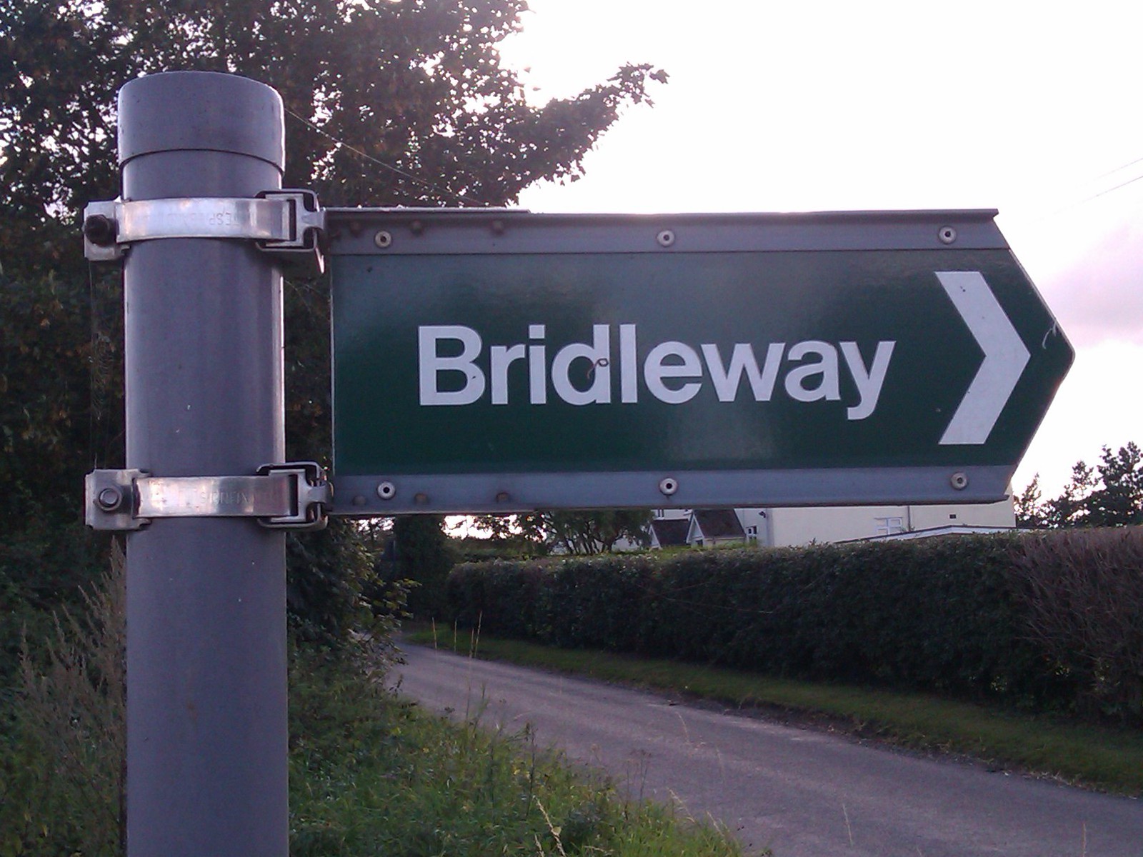
| 18:32, 13 November 2012 | BR-finger.jpg (file) |  |
355 KB | UK Public Bridleway sign | 1 |
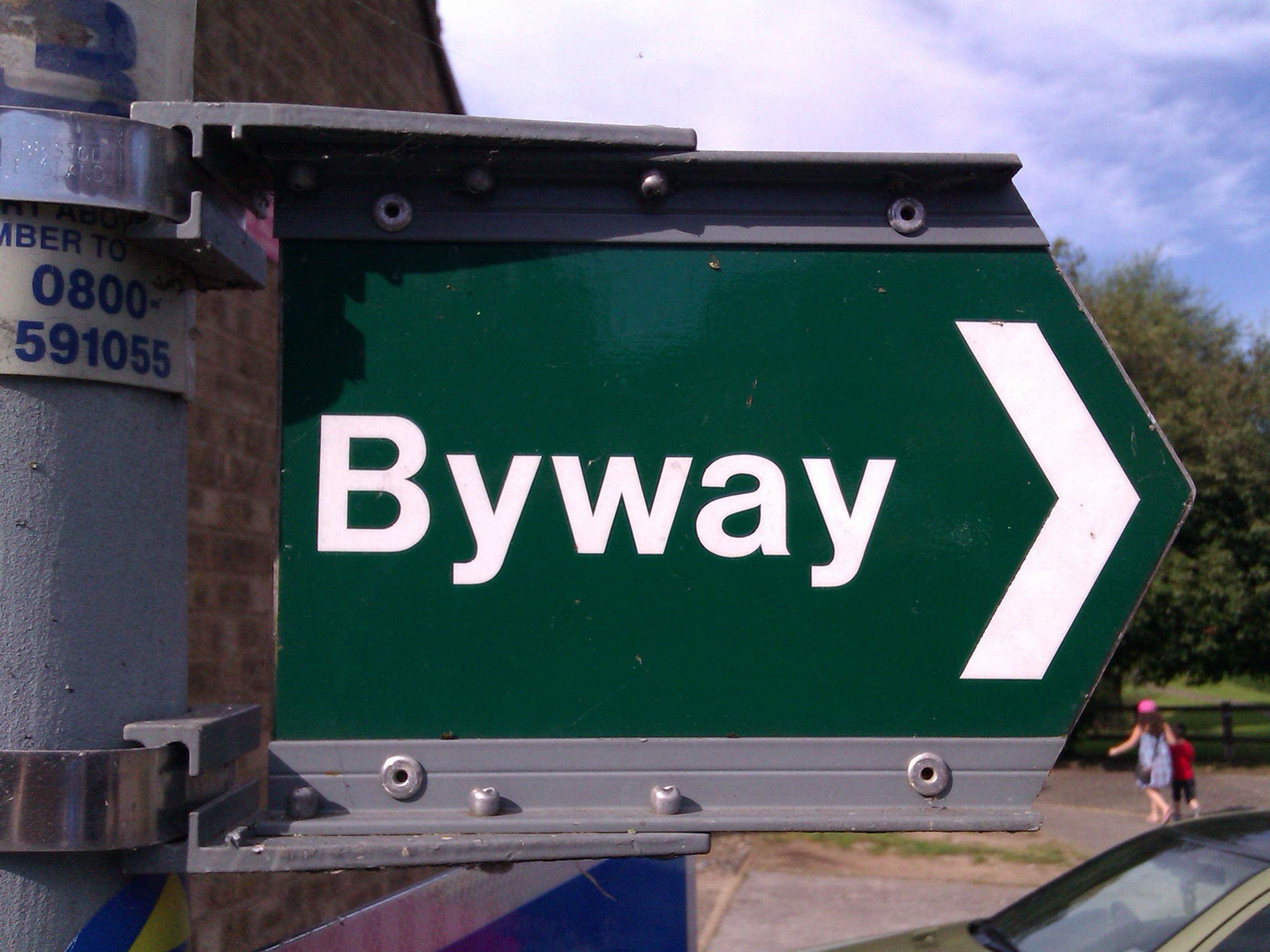
| 18:30, 13 November 2012 | BY-finger.jpg (file) |  |
600 KB | UK Byway Open to All Traffic sign | 1 |
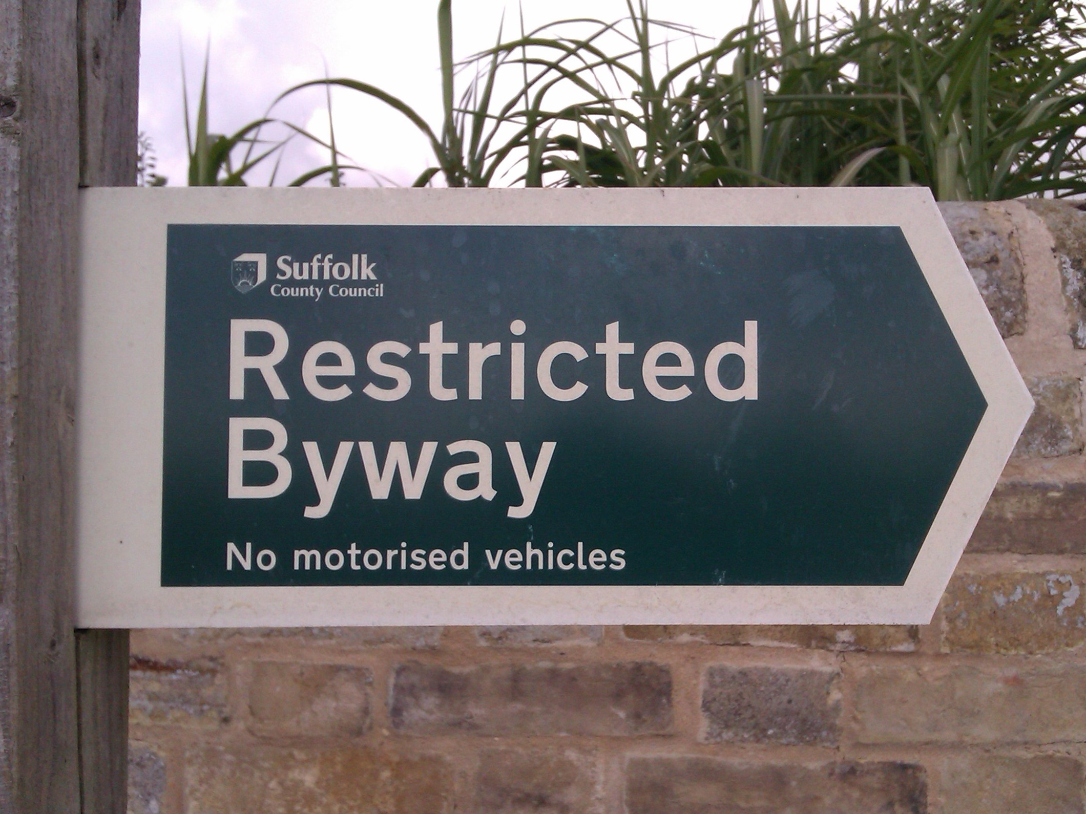
| 18:29, 13 November 2012 | RB-finger2.jpg (file) |  |
575 KB | UK Restricted Byway sign from Suffolk County Council | 1 |
| 10:10, 23 August 2012 | PP-square.jpg (file) |  |
554 KB | Obsolete UK "Road Used as a Public Path" sign, on a bridleway fingerpost. | 1 |
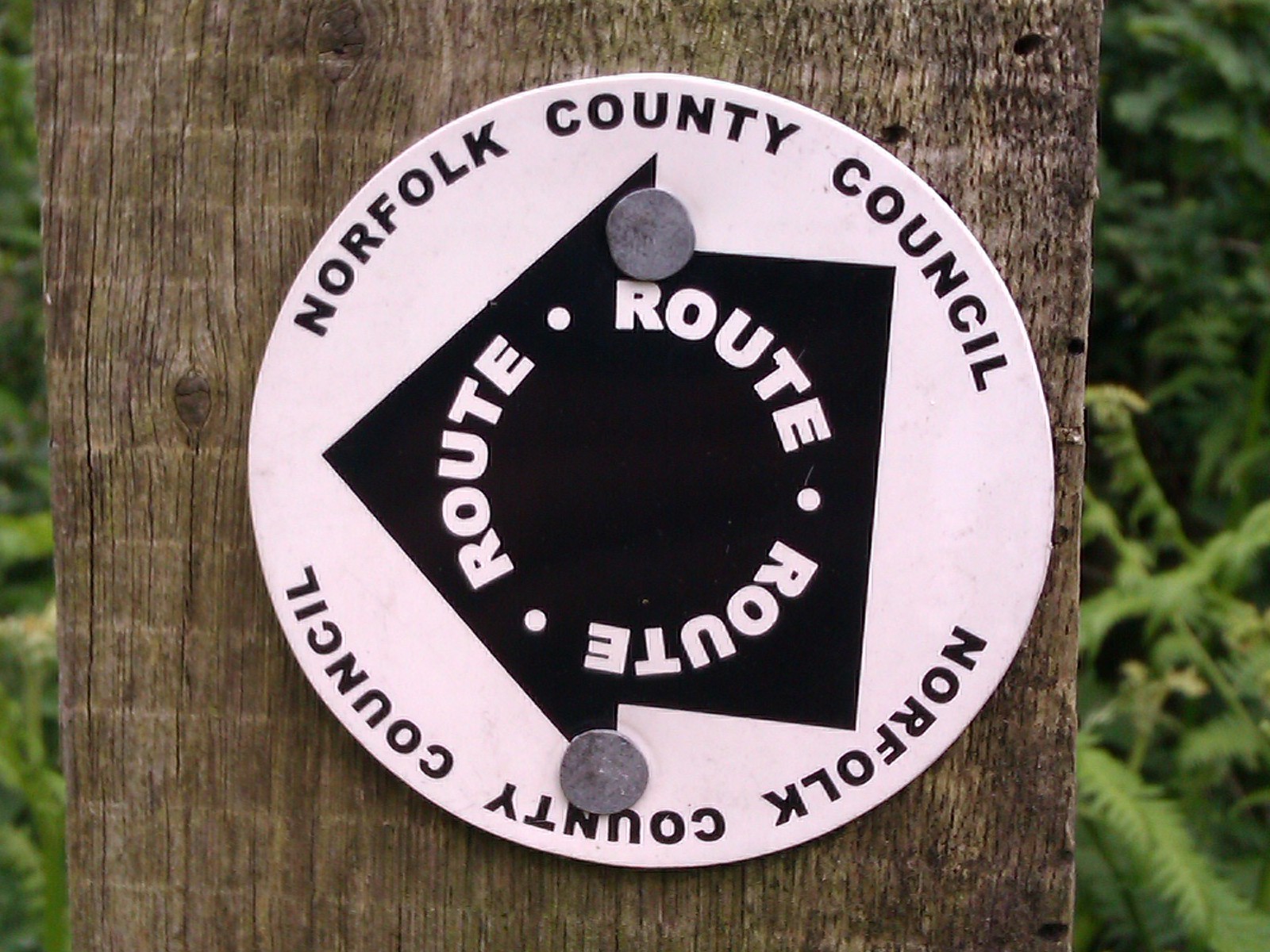
| 10:05, 23 August 2012 | UH-route-roundall.jpg (file) |  |
410 KB | Norfolk County Council (UK) waymark roundel with a black arrow saying "Route", indicating that the track is a public highway. | 1 |
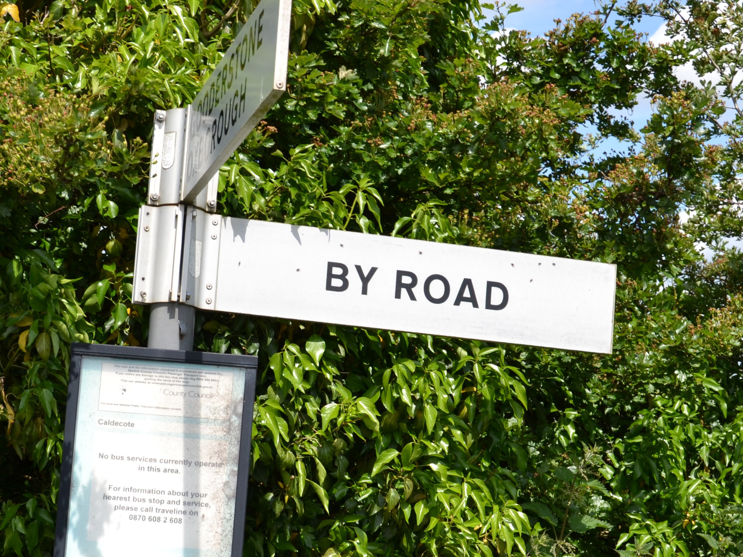
| 10:04, 23 August 2012 | UH-by-road.jpg (file) |  |
1.01 MB | UK road sign saying "By Road", indicating an unclassified highway. | 1 |
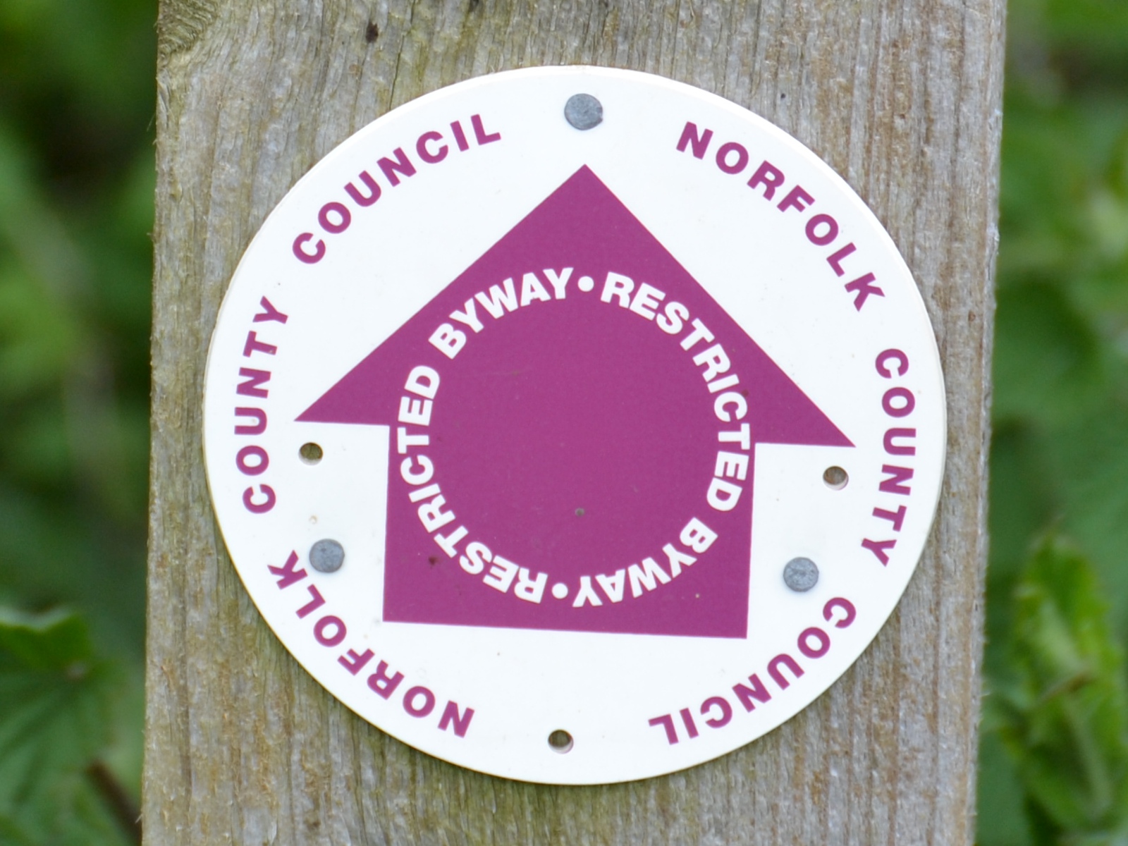
| 09:59, 23 August 2012 | RB-roundel.JPG (file) |  |
523 KB | Norfolk County Council (UK) waymark roundel indicating a Restricted Byway | 1 |
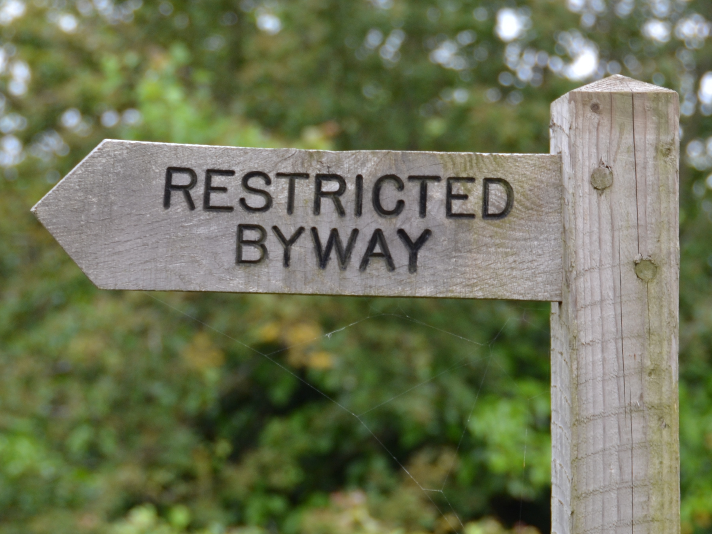
| 09:58, 23 August 2012 | RB-finger.JPG (file) |  |
1.03 MB | UK finger post indicating a Restricted Byway | 1 |
| 09:31, 19 August 2010 | ThetfordCake.png (file) |  |
320 KB | Cake map for Thetford, Norfolk | 1 |
| 09:24, 19 August 2010 | ThetfordCake-v1.svg (file) |  |
26 KB | 2 |