Uploads by SomeoneElse
Jump to navigation
Jump to search
This special page shows all uploaded files.
| Date | Name | Thumbnail | Size | Description | Versions |
|---|---|---|---|---|---|
| 09:36, 21 July 2024 | 219102.jpg (file) | 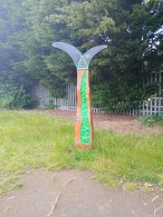 |
552 KB | {{Information | description= | source= | date= | author= | other_versions= }} | 1 |
| 00:39, 5 March 2023 | Grousebutt.jpg (file) | 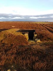 |
544 KB | {{Information | description= | source= | date= | author= | other_versions= }} | 1 |
| 11:01, 9 April 2021 | P3 logo 128x128.png (file) |  |
3 KB | Note that the licence is actually WTFPL ("DO WHAT THE FUCK YOU WANT TO PUBLIC LICENSE"); PD is the nearest on the list. | 1 |
| 20:44, 4 April 2021 | Foss-Walk-IMG 20210321 165407.jpg (file) | 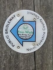 |
3.6 MB | New version of Foss Walk sign, bridleway version. | 1 |
| 20:35, 4 April 2021 | Foss-Walk-IMG 20210321 163513.jpg (file) | 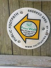 |
3.88 MB | New Foss Walk sign (footpath version) | 1 |
| 22:55, 3 January 2018 | Spires-Steeples-IMG-20171230-105905.jpg (file) | 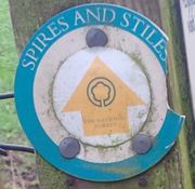 |
141 KB | Spires and Steeples - http://www.openstreetmap.org/relation/7865081 . | 1 |
| 22:54, 3 January 2018 | Coton-Circlar-IMG-20171230-105913.jpg (file) | 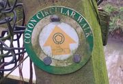 |
256 KB | Coton Circular Walk http://www.openstreetmap.org/relation/7865052 . | 1 |
| 21:50, 3 January 2018 | Blue-Flower-IMG-20171120-131023.jpg (file) |  |
251 KB | Route marker mapped at http://www.openstreetmap.org/node/5304836445 . | 1 |
| 21:16, 3 January 2018 | Brown-butterfly-IMG-20171120-130839.jpg (file) |  |
121 KB | Route marker at http://www.openstreetmap.org/node/5304813426 . | 1 |
| 17:24, 21 January 2015 | Butterfly-20150119-00107.jpg (file) |  |
92 KB | Path sign just north of Skekby trail car park | 1 |
| 02:08, 1 November 2014 | MP493.jpg (file) | 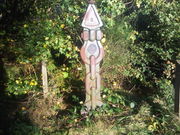 |
757 KB | Sustrans milepost near Vicar Water country park, near Clipstone Forest. http://www.openstreetmap.org/node/3160433832 | 1 |
| 11:55, 21 October 2014 | Ur-IMG-20141018-00098.jpg (file) |  |
145 KB | Sign on a lamp post in Osmaston, Derbyshire. They form a route, but I'm not sure what for. | 1 |
| 14:09, 14 July 2014 | Derwent-Valley-Walk-IMG-20140709-00090.jpg (file) | 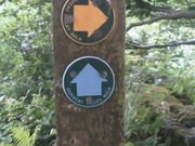 |
95 KB | 1 | |
| 14:06, 14 July 2014 | Red-Arrow-IMG-20140709-00087.jpg (file) |  |
68 KB | 1 | |
| 14:04, 14 July 2014 | Four-Circuit-Walks-High-Peak-Junction-IMG-20140709-00089.jpg (file) | 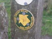 |
59 KB | 1 | |
| 10:09, 23 June 2014 | CSH-Clowne-IMG-20140621-00084.jpg (file) |  |
86 KB | Path sign between Oxton and Clowne | 1 |
| 09:21, 16 June 2014 | Whitwell-IMG-20140614-00082.jpg (file) |  |
124 KB | "Silver" (or is it faded yellow?) marker near Whitwell in Derbyshire. | 1 |
| 09:11, 16 June 2014 | Three-Centres-Trail-IMG-20140606-00079.jpg (file) | 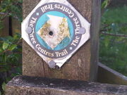 |
113 KB | Three Centres Trail marker west of Stanton Hill | 1 |
| 21:15, 24 May 2014 | Green-Beardy-Bloke-IMG-20140424-00075.jpg (file) |  |
124 KB | Path sign here: http://www.openstreetmap.org/?mlat=53.14833&mlon=-1.28485#map=19/53.14833/-1.28485 | 1 |
| 01:06, 8 July 2013 | Newstead-IMG-20130624-00036.jpg (file) |  |
96 KB | 1 | |
| 13:26, 22 June 2013 | Ecclesbourne-valley-railway-association-1997-IMG-20130616-00034.jpg (file) |  |
365 KB | Ecclesbourne valley railway association 1997 - Information board on High Peak Trail | 1 |
| 13:20, 22 June 2013 | Circuit-Walks-Wirksworth-IMG-20130616-00033.jpg (file) |  |
37 KB | Circuit Walks around Wirksworth | 1 |
| 23:45, 9 June 2013 | Staveley Sustrans IMG-20130504-00018.jpg (file) | 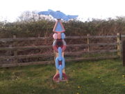 |
250 KB | Staveley Sustrans Marker - currently node 2337672817 | 1 |
| 23:38, 9 June 2013 | Chesterfield Sustrans IMG-20130504-00017.jpg (file) | 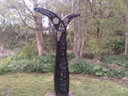 |
324 KB | Chesterfield Sustrans Marker - currently node 2337674034 | 1 |
| 10:13, 30 October 2012 | Amber-Routways-Ride-02-IMG-20121028-00025.jpg (file) |  |
49 KB | Amber Valley Routeways Ride 02 sign | 1 |
| 19:55, 25 October 2012 | Potlatch2 MP example 20121025 01007.png (file) |  |
443 KB | 1 | |
| 19:53, 25 October 2012 | Potlatch2 MP example 20121025 01006.png (file) |  |
438 KB | 1 | |
| 19:52, 25 October 2012 | Potlatch2 MP example 20121025 01005.png (file) |  |
438 KB | 1 | |
| 19:51, 25 October 2012 | Potlatch2 MP example 20121025 01004.png (file) |  |
436 KB | 1 | |
| 19:48, 25 October 2012 | Potlatch2 MP example 20121025 01003.png (file) |  |
436 KB | 1 | |
| 19:48, 25 October 2012 | Potlatch2 MP example 20121025 01002.png (file) |  |
436 KB | 1 | |
| 19:47, 25 October 2012 | Potlatch2 MP example 20121025 01001.png (file) |  |
455 KB | 1 | |
| 20:46, 3 October 2012 | Barlborough-The-Miners-Way-IMG-20120923-00018.jpg (file) |  |
74 KB | 2 | |
| 20:36, 3 October 2012 | Another-6-of-the-best-IMG-20120909-00016.jpg (file) |  |
154 KB | Cropped | 2 |
| 20:27, 3 October 2012 | A-Walk-In-Moorgreen-IMG-20120909-00014.jpg (file) | 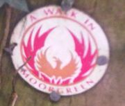 |
35 KB | Path sign "A walk in Moorgreen" | 1 |
| 20:22, 3 October 2012 | Manifold-Valley-Circular-Walk-IMG-20120902-00012.jpg (file) | 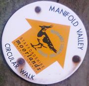 |
84 KB | Route sign at S end of Manifold valley. | 1 |
| 20:08, 3 October 2012 | Sabrina-Way-IMG-20120901-00008.jpg (file) | 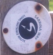 |
58 KB | Sabrina Way signpost in Staffordshire. | 1 |
| 16:12, 18 July 2012 | Yellow-Derbyshire-IMG-20120629-00001.jpg (file) |  |
14 KB | A footpath sign pointing northeast here: http://www.openstreetmap.org/?mlat=53.177913&mlon=-1.52984&zoom=18&layers=M | 1 |
| 11:42, 1 June 2012 | UCW-IMG-20120513-00060.jpg (file) |  |
121 KB | Footpath sign just north of Uttoxeter. Or maybe just the company that made the fence? | 1 |
| 23:37, 24 April 2012 | Mine-IMG-20120323-00046.jpg (file) | 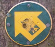 |
109 KB | Way marker NE of Chesterfield | 1 |
| 23:36, 24 April 2012 | Locomotion-IMG-20120417-00057.jpg (file) | 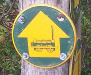 |
85 KB | Way marker NE of Chesterfield | 1 |
| 23:32, 24 April 2012 | Archaeological-Way-IMG-20120410-00055.jpg (file) | 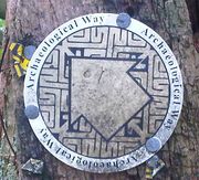 |
145 KB | Whoops - forgot to crop it first. | 2 |
| 21:36, 21 January 2012 | Cuckoo-Way-IMG00027-20091101-1638.jpg (file) | 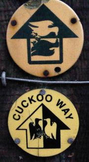 |
202 KB | Cuckoo Way - old style sign | 1 |
| 21:30, 21 January 2012 | Robin-Hood-Way-IMG-20111218-00020.jpg (file) |  |
208 KB | Robin Hood Way - black bow on green arrow on white background | 1 |
| 21:29, 21 January 2012 | Robin-Hood-Way-IMG-20111218-00018.jpg (file) | 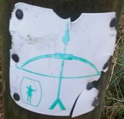 |
219 KB | Robin Hood Way - green arrow on white background with logo | 1 |
| 21:23, 21 January 2012 | Eadrics-Way-IMG-20120116-00023.jpg (file) | 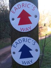 |
226 KB | Eadric's Way - red and blue signs | 1 |
| 21:13, 21 January 2012 | Old-South-Chesterfield-Way-20120121-00034.jpg (file) |  |
76 KB | 1 | |
| 21:12, 21 January 2012 | South-Chesterfield-Way-IMG-20120121-00030.jpg (file) | 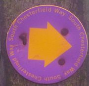 |
61 KB | South Chesterfield Way - new path sign | 1 |
| 23:45, 27 November 2011 | Foss-Way-IMG-20111120-00008.jpg (file) | 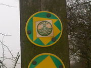 |
98 KB | Foss Way / Foss Walk sign between West Lilling and Sheriff Hutton, Yorkshire. | 1 |
| 23:42, 27 November 2011 | Ebor-Way-IMG-20111127-00011.jpg (file) | 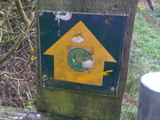 |
391 KB | Ebor Way Path Sign near Terrington, Yorkshire | 1 |