Uploads by Stanton
Jump to navigation
Jump to search
This special page shows all uploaded files.
| Date | Name | Thumbnail | Size | Description | Versions |
|---|---|---|---|---|---|
| 17:41, 19 April 2011 | Osm-transport-map-prototype.png (file) | 93 KB | Updated to reflect new developments - correctly this time | 5 | |
| 19:36, 19 March 2011 | Magic carpet.svg (file) |  |
12 KB | Magic carpet icon Category:sport icon | 1 |
| 18:42, 19 March 2011 | Mixed lift.svg (file) |  |
11 KB | Mixed lift icon Category:sport icon | 1 |
| 21:57, 16 March 2011 | Rope tow.svg (file) |  |
8 KB | Rope tow icon Category:sport icon | 1 |
| 21:56, 16 March 2011 | Gondola.svg (file) |  |
3 KB | Gondola icon Category:sport icon | 1 |
| 21:56, 16 March 2011 | Funicular.svg (file) |  |
7 KB | Funicular icon Category:sport icon | 1 |
| 21:55, 16 March 2011 | Drag lift.svg (file) |  |
7 KB | Drag lift icon Category:sport icon | 1 |
| 21:55, 16 March 2011 | Chair lift.svg (file) |  |
11 KB | Chair lift icon Category:sport icon | 1 |
| 21:54, 16 March 2011 | Cable car.svg (file) |  |
4 KB | Cable car icon Category:sport icon | 1 |
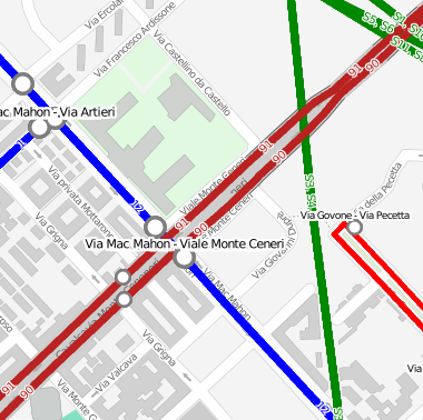
| 19:04, 14 March 2011 | Flat-file Mapnik example.png (file) |  |
29 KB | A simple road map rendered with Mapnik using a local OSM file as a data source. | 1 |
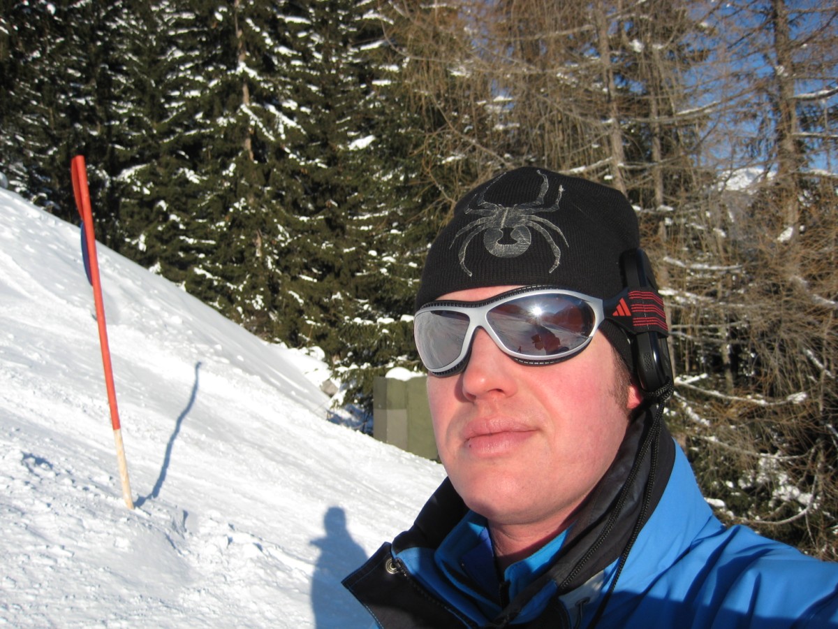
| 18:24, 1 March 2011 | Physically Securing Your GPS 2.jpg (file) |  |
167 KB | An example of physically securing a GPS device by inserting it in the loop of the head strap of a pair of skiing goggles, and a cord with a beaner for extra security. | 1 |
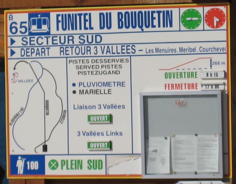
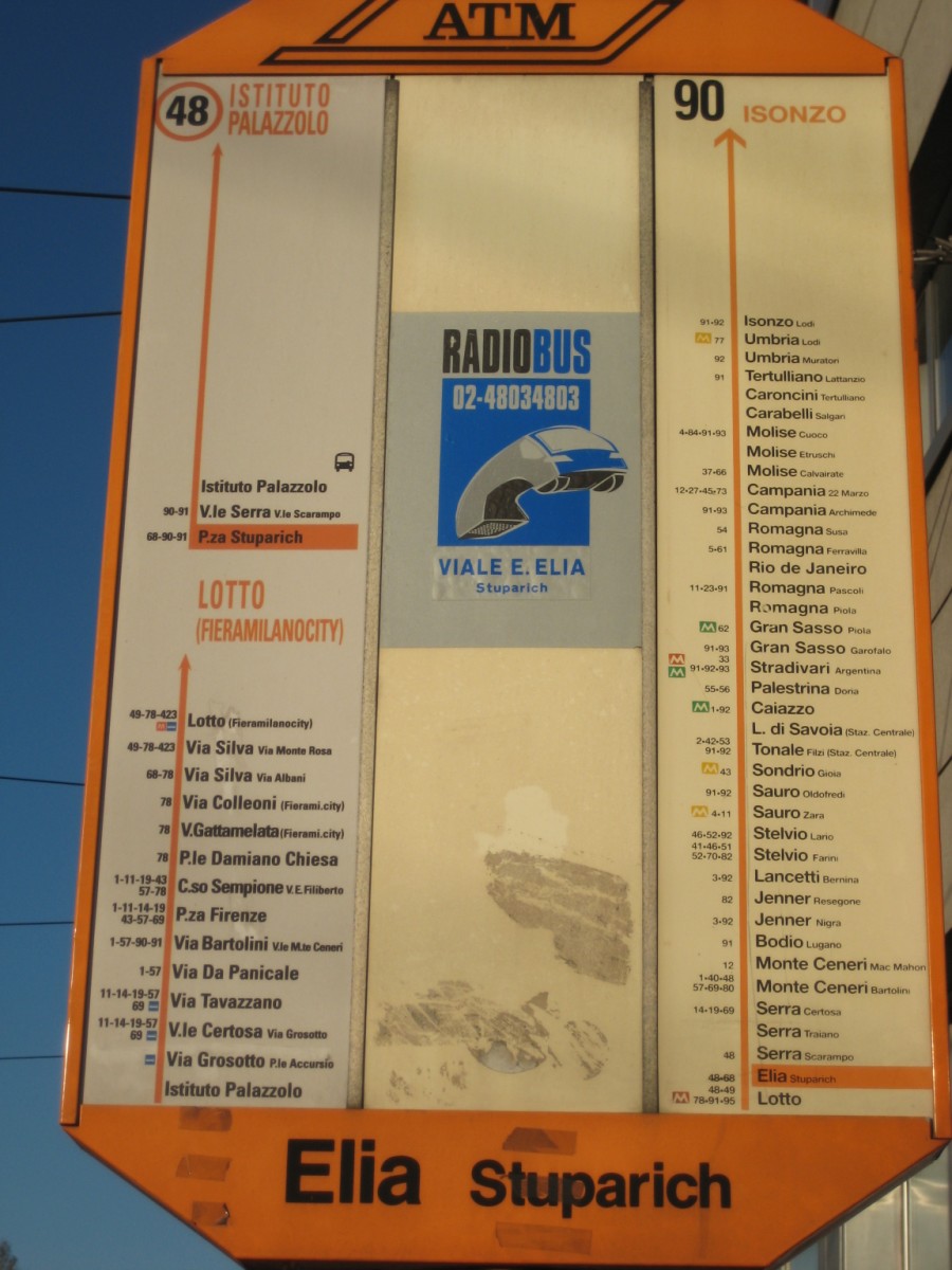
| 23:46, 8 February 2011 | 3 Vallees lift ref.jpg (file) |  |
277 KB | Information sign at a lift in 3 Vallées, France | 1 |
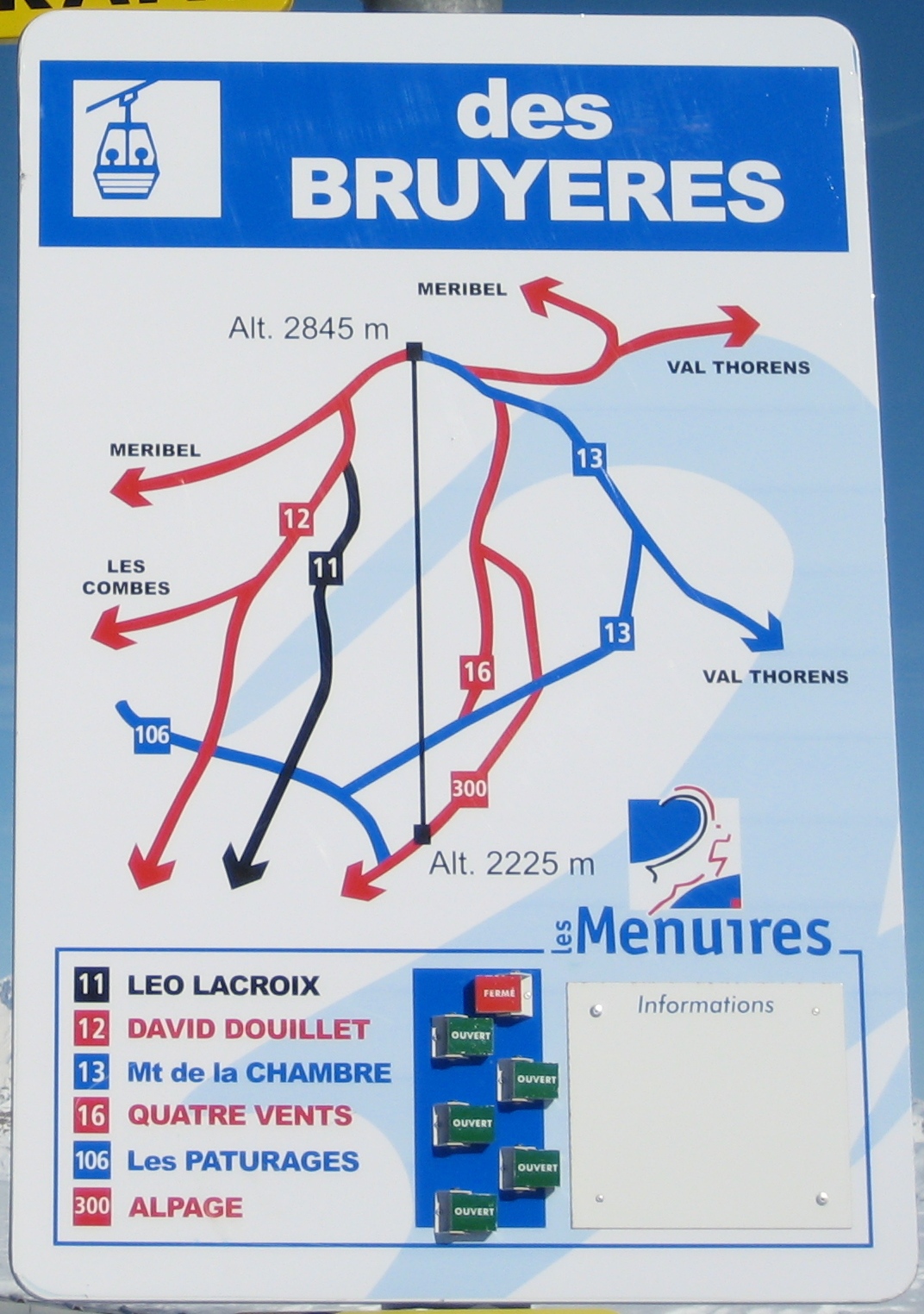
| 23:35, 8 February 2011 | 3 Vallees ref.jpg (file) |  |
531 KB | Piste sign with piste numbers (Les Menuires, 3 Vallées, France) | 1 |
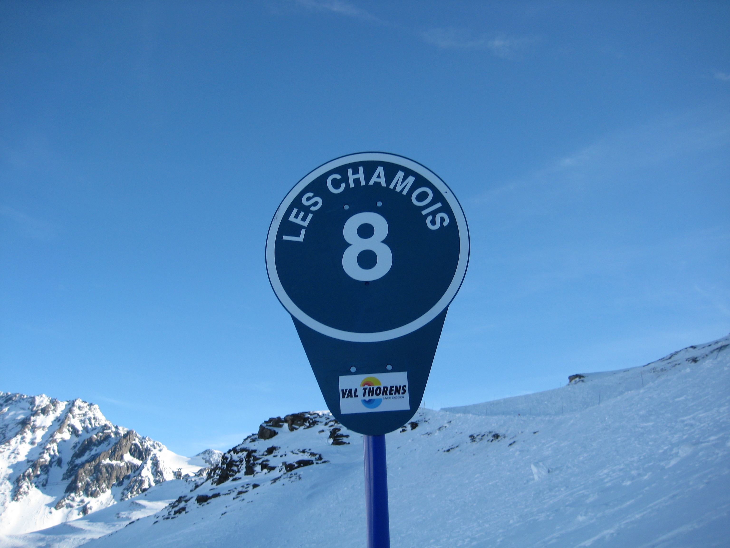
| 23:34, 8 February 2011 | Les Chamois 08.jpg (file) |  |
1.84 MB | Piste sign (Les Chamois), Val Thorens, 3 Vallées, France | 1 |
| 23:33, 8 February 2011 | Les Chamois 09.jpg (file) |  |
1.9 MB | Piste sign (Les Chamois) in Val Thorens, 3 Vallées, France | 1 |
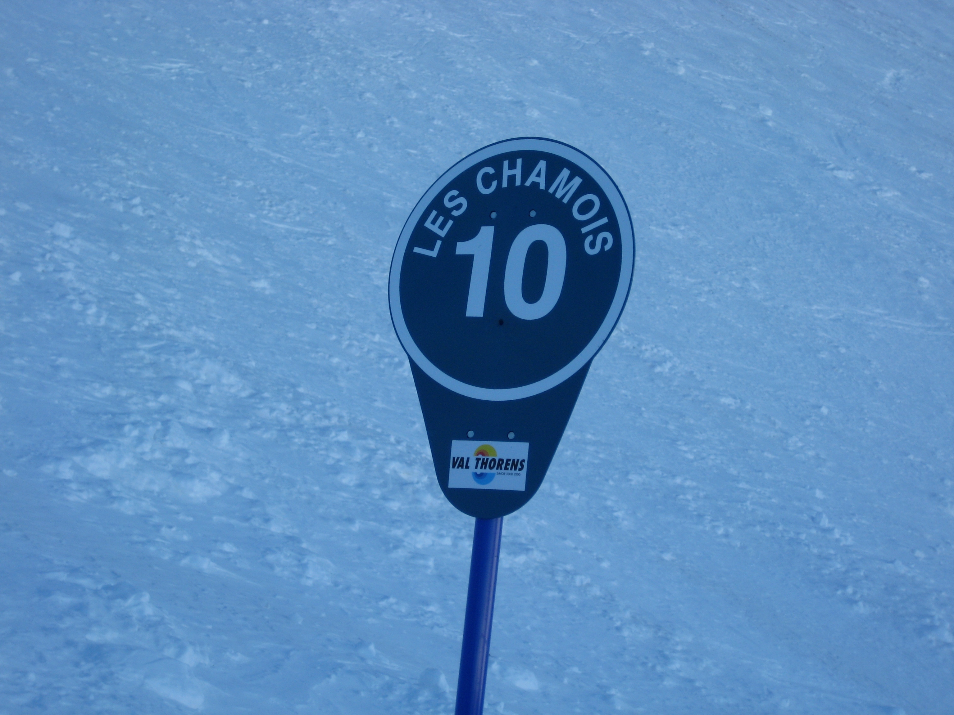
| 23:31, 8 February 2011 | Les Chamois 10.jpg (file) |  |
1.84 MB | Piste sign Les Chamois #10 in Val Thorens (Trois Vallées), France | 1 |
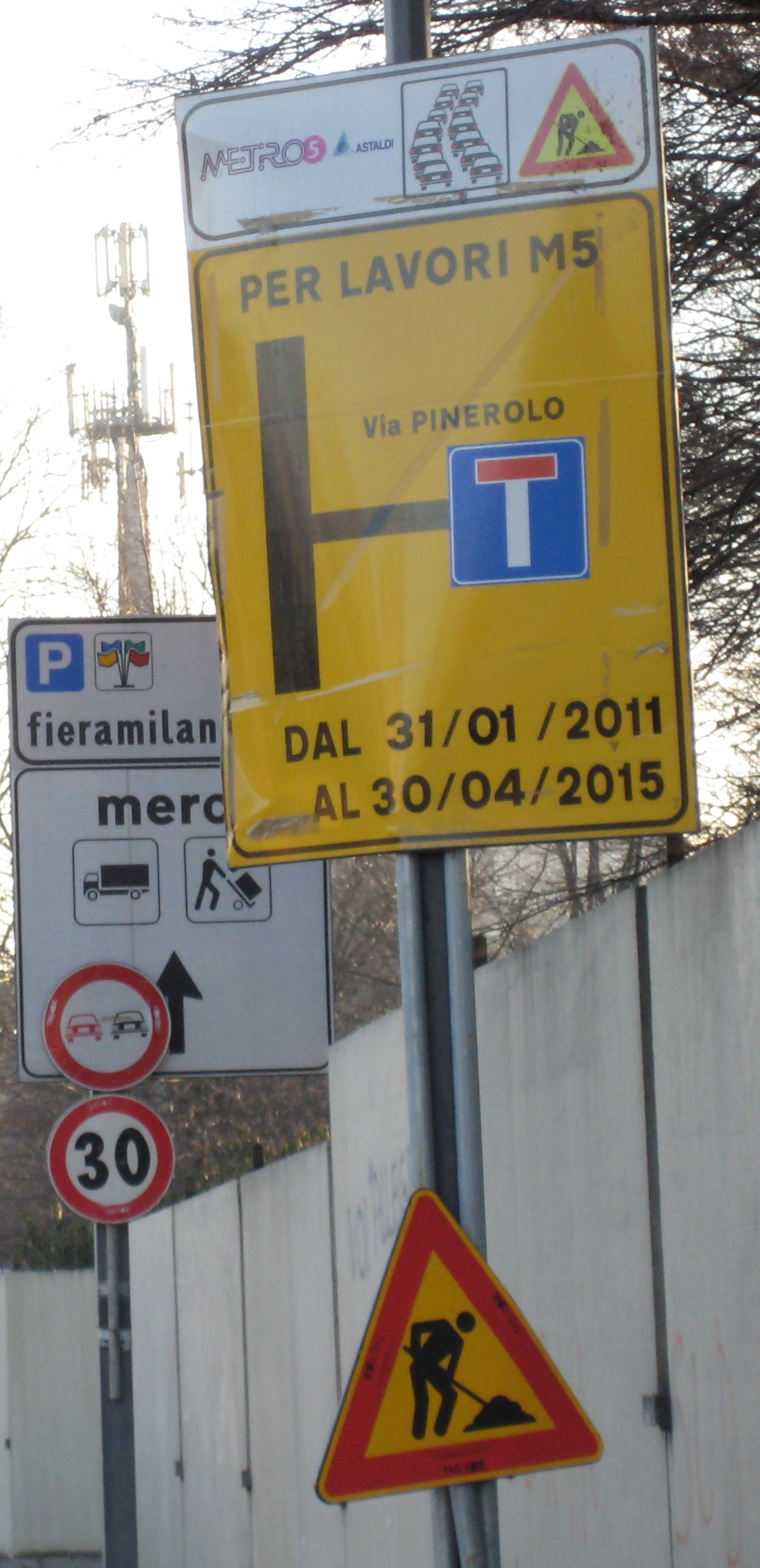
| 21:45, 8 February 2011 | Restrictions due to construction work.jpg (file) |  |
911 KB | Road sign with restrictions for the duration of construction work | 1 |
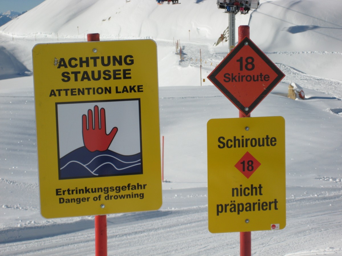
| 22:08, 1 January 2011 | Skiroute extreme austria.jpg (file) |  |
169 KB | Signs at the beginning of an extreme skiroute in Austria | 1 |
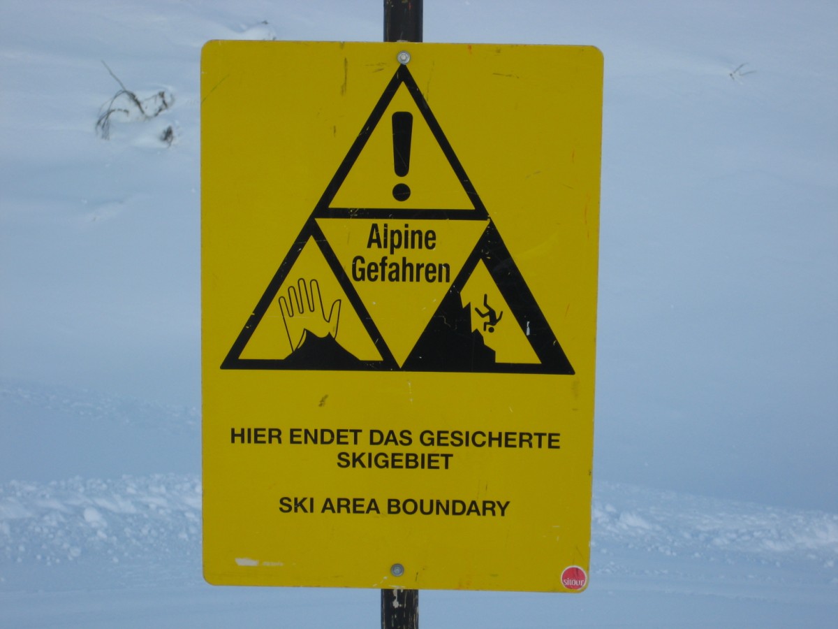
| 19:53, 30 December 2010 | Ski area boundary austria.jpg (file) |  |
122 KB | Ski area boundary warning sign in Austria | 1 |
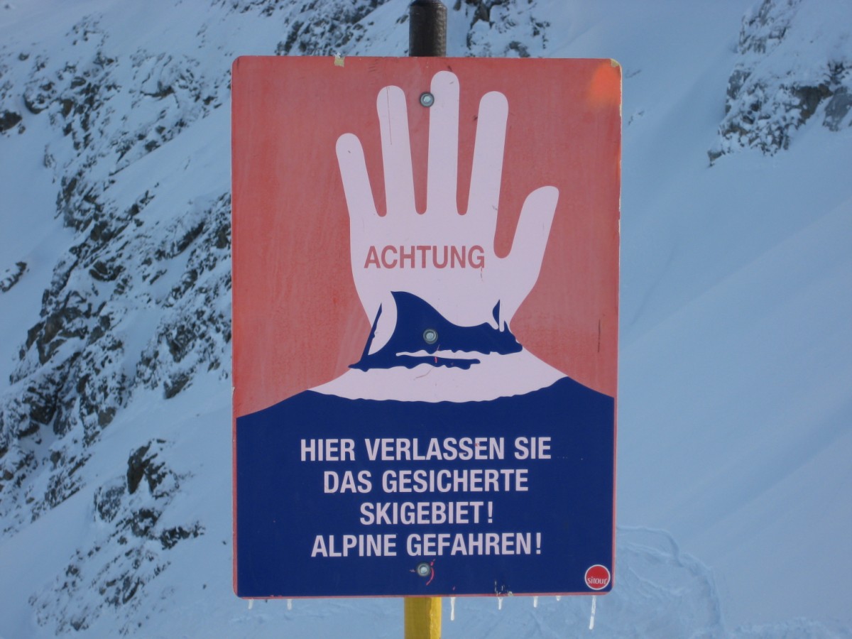
| 19:53, 30 December 2010 | Alpine dangers austria.jpg (file) |  |
174 KB | Alpine dangers warning sign in Austria | 1 |
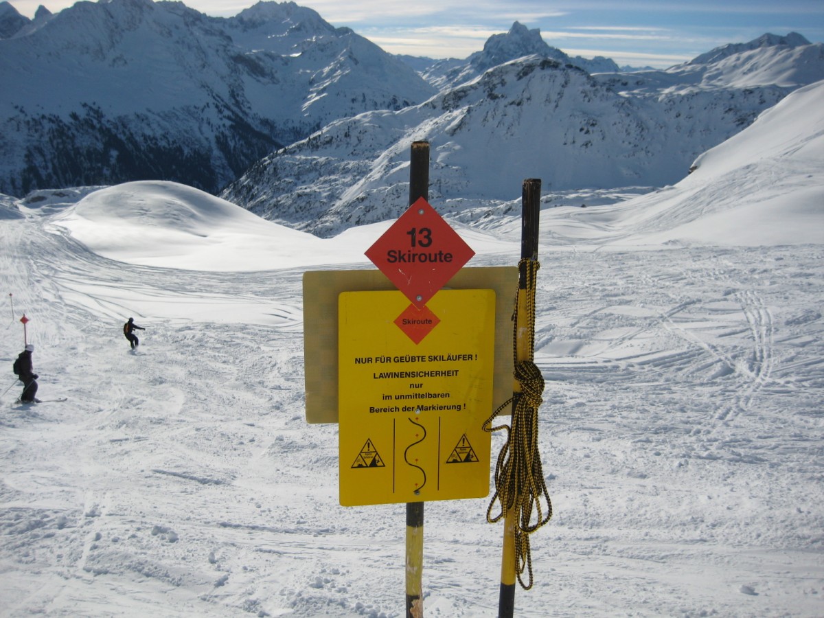
| 19:45, 30 December 2010 | Skiroute warning austria.jpg (file) |  |
273 KB | Sign and alpine danger warning at the beginning of a skiroute in Austria | 1 |
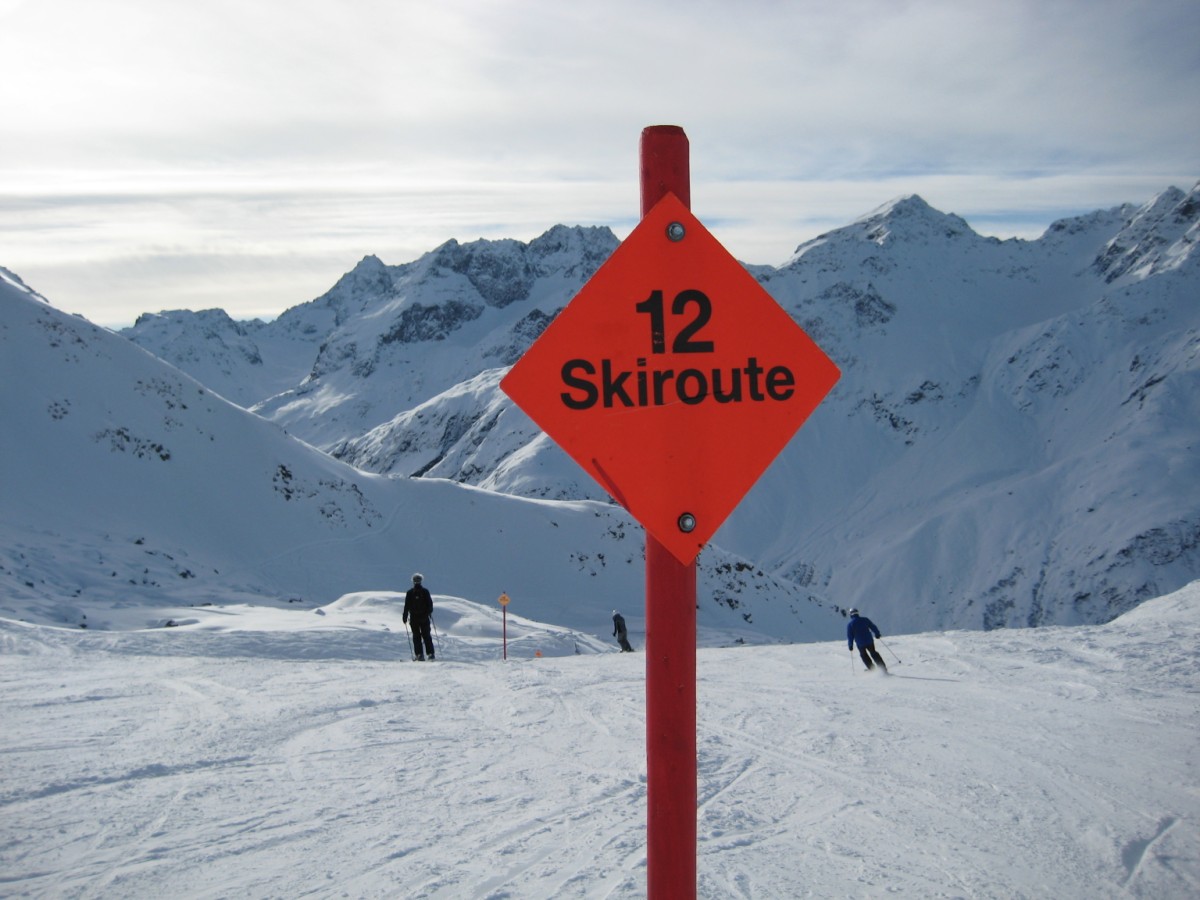
| 19:45, 30 December 2010 | Skiroute sign austria.jpg (file) |  |
180 KB | Skiroute sign in Austria | 1 |
| 19:34, 30 December 2010 | Piste sign austria.jpg (file) |  |
221 KB | Piste number and boundary sign of a blue piste in Austria | 1 |
| 22:49, 28 December 2010 | Ski eu ski-route-extreme.svg (file) |  |
526 bytes | Widened black margin for better visibility at small sizes | 2 |
| 22:15, 27 December 2010 | Ski eu ski-route.svg (file) |  |
423 bytes | Ski route sign (Europe) | 1 |
| 22:14, 27 December 2010 | Ski eu piste-green.svg (file) |  |
396 bytes | Green piste sign (Europe) | 1 |
| 22:14, 27 December 2010 | Ski eu piste-red.svg (file) |  |
397 bytes | Red piste sign (Europe) | 1 |
| 22:13, 27 December 2010 | Ski eu piste-black.svg (file) |  |
399 bytes | Black piste sign (Europe) | 1 |
| 22:09, 27 December 2010 | Ski eu piste-blue.svg (file) |  |
395 bytes | Blue piste sign (Europe) | 1 |
| 14:33, 18 December 2010 | Piste mapping setup.jpg (file) |  |
283 KB | Piste mapping setup: Freerunner tucked underneath strap of goggles, secured with an extra strap attached to clothing | 1 |
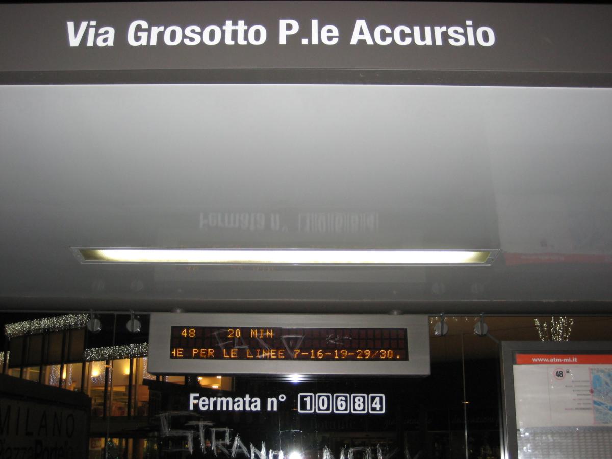
| 23:44, 25 November 2010 | Nome fermata milano.JPG (file) |  |
193 KB | Old and new names for the same bus stop reported on a sign (Milan) | 1 |
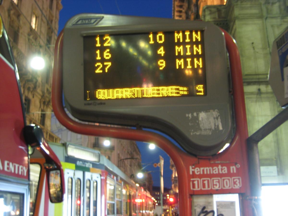
| 13:13, 20 November 2010 | Bus stop ref milan shelter.jpg (file) |  |
88 KB | Example of bus stop number (Milan) | 1 |
| 13:12, 20 November 2010 | IMG 9087.JPG (file) |  |
110 KB | Example for bus stop number (Milan) | 1 |
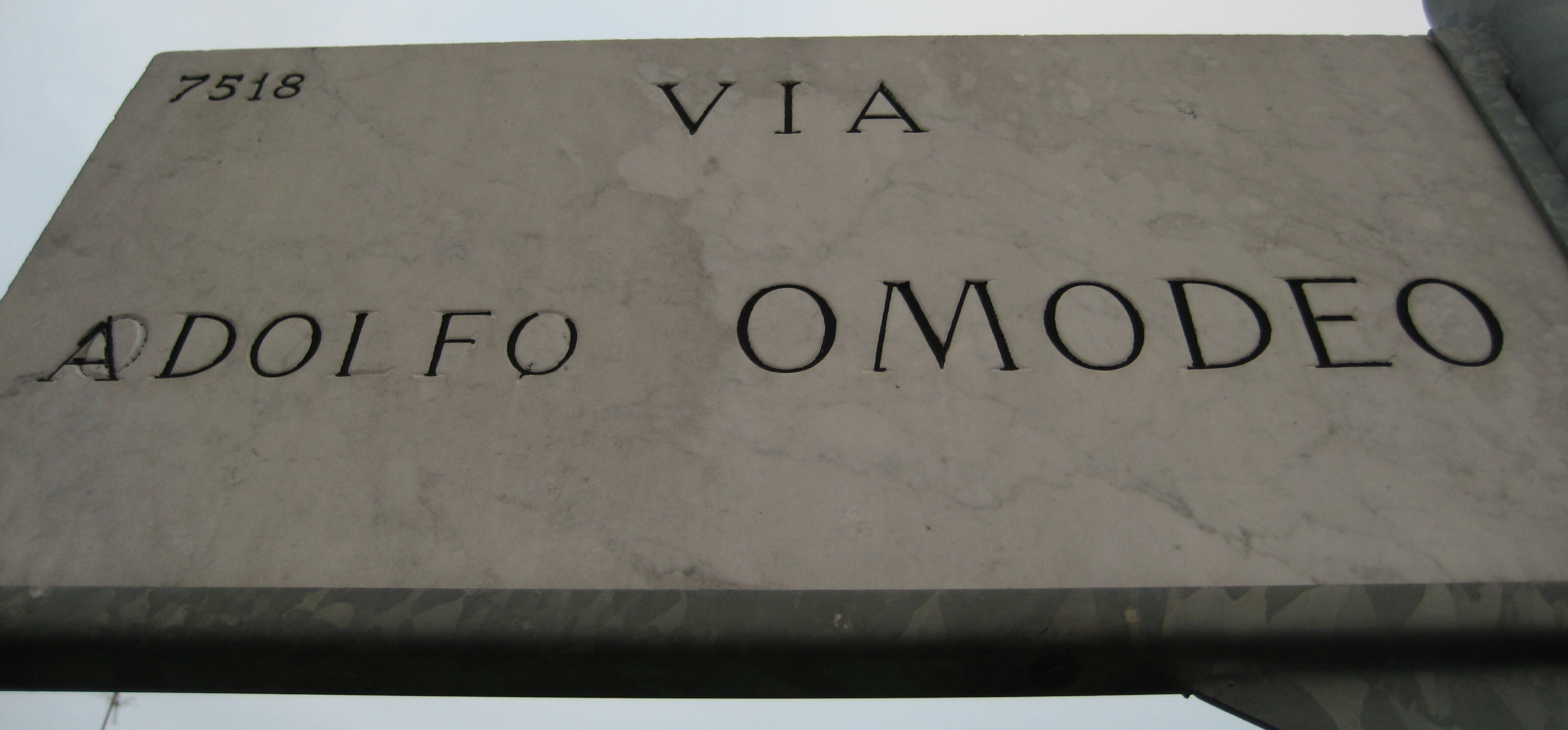
| 23:22, 26 June 2010 | Via Omodeo.jpg (file) |  |
1.33 MB | 1 | |
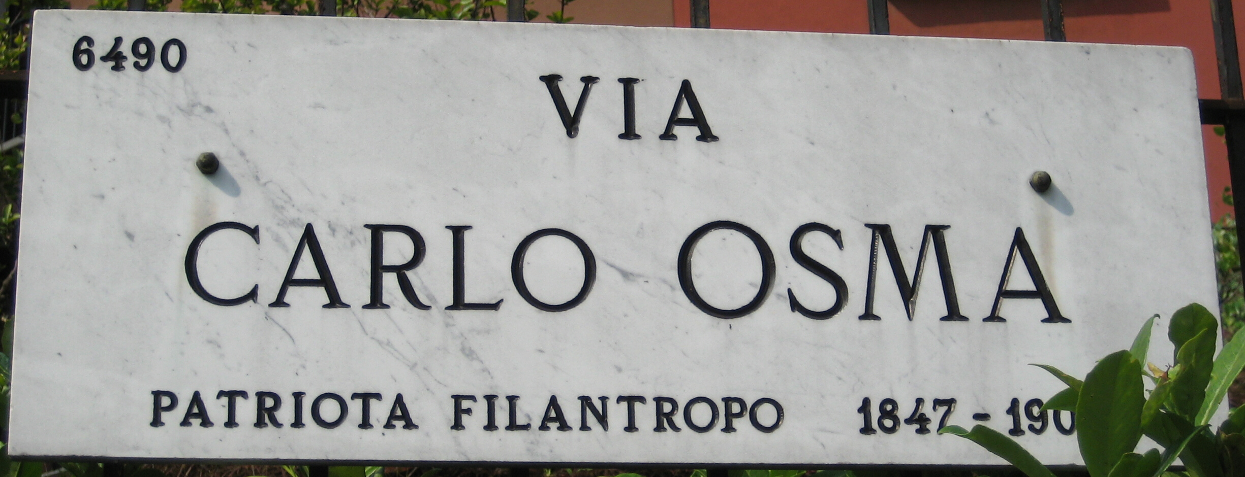
| 13:46, 26 June 2010 | Via Osma.jpg (file) |  |
791 KB | Street sign of Via Carlo Osma | 1 |
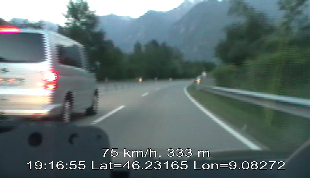
| 21:45, 16 June 2010 | Vlcsnap-2010-06-16-23h41m12s228.png (file) |  |
676 KB | A georeferenced video with GPS information as subtitles | 1 |
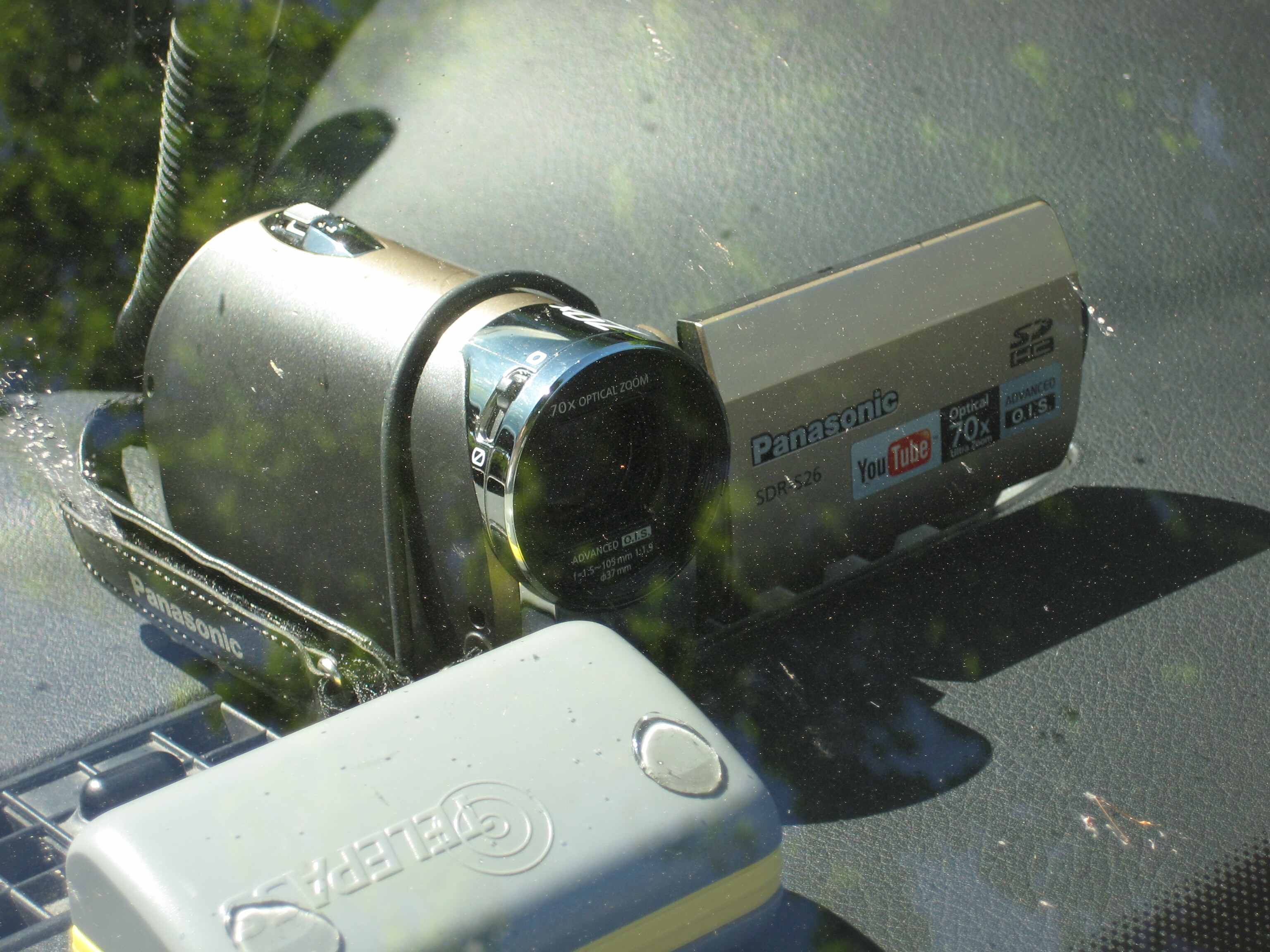
| 20:46, 10 June 2010 | Videomapping Car Setup 2.jpg (file) |  |
1.46 MB | Video camera mounted in front of windshield using a simple holder made from a wire hanger | 1 |
| 20:35, 10 June 2010 | Videomapping Car Setup 1.jpg (file) |  |
1.35 MB | Video camera mounted in front of windshield using a simple holder made from a wire hanger | 1 |