Tag:bridge=aqueduct
Jump to navigation
Jump to search
| Description |
|---|
| A bridge which conveys an artificial waterway over a road, valley or waterway. |
| Group: bridges |
| Used on these elements |
| Requires |
| Status: approved |
| Tools for this tag |
|
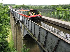
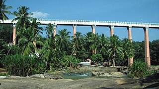
An aqueduct, also known as a water bridge, is an above-ground structure which conveys an artificial waterway over a road, valley or another waterway.
- See also Tag:historic=aqueduct for bridges with historical significance
How to tag
Draw a way ![]() at the bridge and add
at the bridge and add
- When the riverbank is to be drawn
- Bridge outline
If there are footpaths next to the waterway, the outline of the entire bridge can be drawn with the following:
Example Canal Bridge Magdeburg
Additional tags
- start_date=* - for the time when the aqueduct started to work
- name=* - name of the aqueduct
- length=* - length of the aqueduct
- ele=* if you know the elevation of distinct points of the aqueduct (level of the water / where once the water was)
- wikipedia=*
- historic=aqueduct when the bridge has a historical significance as described in Tag:historic=aqueduct
Examples
Modern aqueducts :
Historical aqueducts :
Some bridges that should be tagged additionally with the historic schema Tag:historic=aqueduct


