Tag:residential=rural
Jump to navigation
Jump to search
| Description |
|---|
| Residential area with low-rise buildings. |
| Group: landuse |
| Used on these elements |
| Requires |
| Status: in use |
| Tools for this tag |
|
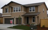
residential=rural is a subtag of landuse=residential and is used to specify residential areas with low-rise residential buildings (buildings with tag building=house). It is usual for each house has its own fenced allotment with yard and/or garden.
